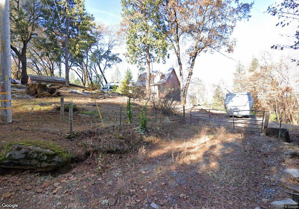
8870 Mosquito Rd Placerville, CA 95667
Estimated Value: $288,000 - $383,000
1
Bed
1
Bath
756
Sq Ft
$439/Sq Ft
Est. Value
About This Home
This home is located at 8870 Mosquito Rd, Placerville, CA 95667 and is currently estimated at $331,850, approximately $438 per square foot. 8870 Mosquito Rd is a home located in El Dorado County with nearby schools including Camino Elementary School, El Dorado High School, and El Dorado Adventist School.
Ownership History
Date
Name
Owned For
Owner Type
Purchase Details
Closed on
Jun 8, 2011
Sold by
Walton Joel D
Bought by
Walton Joel D
Current Estimated Value
Purchase Details
Closed on
Oct 15, 1999
Sold by
Walton Larry D
Bought by
Walton Joel D and Walton Diana J
Purchase Details
Closed on
Apr 8, 1997
Sold by
Walton Larry D
Bought by
Walton Larry D and Walton Diana J
Purchase Details
Closed on
Apr 18, 1994
Sold by
Walton Larry D
Bought by
Walton Larry D
Create a Home Valuation Report for This Property
The Home Valuation Report is an in-depth analysis detailing your home's value as well as a comparison with similar homes in the area
Home Values in the Area
Average Home Value in this Area
Purchase History
| Date | Buyer | Sale Price | Title Company |
|---|---|---|---|
| Walton Joel D | -- | None Available | |
| Walton Joel D | -- | None Available | |
| Walton Joel D | -- | -- | |
| Walton Larry D | -- | -- | |
| Walton Larry D | -- | -- |
Source: Public Records
Tax History Compared to Growth
Tax History
| Year | Tax Paid | Tax Assessment Tax Assessment Total Assessment is a certain percentage of the fair market value that is determined by local assessors to be the total taxable value of land and additions on the property. | Land | Improvement |
|---|---|---|---|---|
| 2025 | $660 | $65,270 | $11,506 | $53,764 |
| 2024 | $660 | $63,991 | $11,281 | $52,710 |
| 2023 | $646 | $62,737 | $11,060 | $51,677 |
| 2022 | $636 | $61,508 | $10,844 | $50,664 |
| 2021 | $627 | $60,303 | $10,632 | $49,671 |
| 2020 | $618 | $59,685 | $10,523 | $49,162 |
| 2019 | $608 | $58,516 | $10,317 | $48,199 |
| 2018 | $590 | $57,369 | $10,115 | $47,254 |
| 2017 | $579 | $56,245 | $9,917 | $46,328 |
| 2016 | $571 | $55,143 | $9,723 | $45,420 |
| 2015 | $538 | $54,317 | $9,578 | $44,739 |
| 2014 | $538 | $53,255 | $9,392 | $43,863 |
Source: Public Records
Map
Nearby Homes
- 1072 Champagne Ln
- 2399 Kingsgate Rd
- 1421 Highland Ct
- 7161 Kona Dr
- 9425 Mosquito Rd
- 2360 Union Ridge Rd
- 0 Mona Ave
- 2655 Mona Dr
- 2689 Morrene Dr
- 1110 Madrone Ln
- 2771 Morrene Dr
- 2700 Dancing Oaks Rd
- 2095 Wild Goose Canyon Rd
- 1049 Kimi Way
- 2500 Gold Bug Ln
- 2060 Broadway
- 1015 Utah Dr
- 2500 Highway 50
- 1017 Utah Dr
- 1284 Roxie Way
- 8881 Mosquito Rd
- 2000 Shadow Run Rd
- 8841 Mosquito Rd
- 8820 Mosquito Rd
- 8840 Mosquito Rd
- 8840 Mosquito Rd
- 2211 Tuckaway Ln
- 2018 Shadow Run Rd
- 8830 Mosquito Rd
- 2260 Tuckaway Ln
- 8990 Mosquito Rd
- 2040 Shadow Run Rd
- 8801 Mosquito Rd
- 2050 Shadow Run Rd
- 1798 Union Ridge Rd
- 1849 Union Ridge Rd
- 1851 Union Ridge Rd
- 1817 Union Ridge Rd
- 1865 Union Ridge Rd
- 1835 Union Ridge Rd