88767 Highway 101 Seaside, OR 97138
Estimated Value: $799,000 - $1,072,674
5
Beds
5
Baths
4,329
Sq Ft
$216/Sq Ft
Est. Value
About This Home
This home is located at 88767 Highway 101, Seaside, OR 97138 and is currently estimated at $936,919, approximately $216 per square foot. 88767 Highway 101 is a home located in Clatsop County with nearby schools including Seaside High School.
Ownership History
Date
Name
Owned For
Owner Type
Purchase Details
Closed on
Aug 30, 2017
Sold by
Hanson Elaine
Bought by
Meisner Michael and Emonds Meisner Rivena
Current Estimated Value
Home Financials for this Owner
Home Financials are based on the most recent Mortgage that was taken out on this home.
Original Mortgage
$343,200
Outstanding Balance
$286,596
Interest Rate
3.9%
Mortgage Type
New Conventional
Estimated Equity
$650,323
Purchase Details
Closed on
May 14, 2010
Sold by
Demeyer Dennis and Demeyer Delores
Bought by
Hanson Elaine
Create a Home Valuation Report for This Property
The Home Valuation Report is an in-depth analysis detailing your home's value as well as a comparison with similar homes in the area
Home Values in the Area
Average Home Value in this Area
Purchase History
| Date | Buyer | Sale Price | Title Company |
|---|---|---|---|
| Meisner Michael | $449,000 | Ticor Title Company Of Or | |
| Hanson Elaine | -- | None Available |
Source: Public Records
Mortgage History
| Date | Status | Borrower | Loan Amount |
|---|---|---|---|
| Open | Meisner Michael | $343,200 |
Source: Public Records
Tax History Compared to Growth
Tax History
| Year | Tax Paid | Tax Assessment Tax Assessment Total Assessment is a certain percentage of the fair market value that is determined by local assessors to be the total taxable value of land and additions on the property. | Land | Improvement |
|---|---|---|---|---|
| 2024 | $4,724 | $401,170 | -- | -- |
| 2023 | $4,577 | $389,487 | $0 | $0 |
| 2022 | $4,459 | $378,144 | $0 | $0 |
| 2021 | $4,722 | $367,131 | $0 | $0 |
| 2020 | $4,607 | $356,439 | $0 | $0 |
| 2019 | $4,361 | $346,058 | $0 | $0 |
| 2018 | $4,282 | $335,980 | $0 | $0 |
| 2017 | $4,124 | $326,195 | $0 | $0 |
| 2016 | $3,465 | $316,695 | $64,990 | $251,705 |
| 2015 | $3,276 | $307,472 | $63,098 | $244,374 |
| 2014 | $3,277 | $298,518 | $0 | $0 |
| 2013 | -- | $289,824 | $0 | $0 |
Source: Public Records
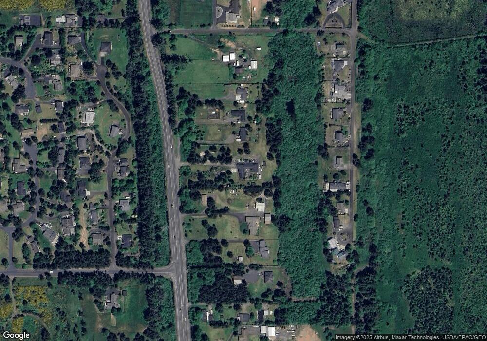
Map
Nearby Homes
- 88790 Dawson Rd
- 88769 Teal Rd
- 2998 Pine Ct
- 5399 Drummond Dr
- 568 Browning Ln
- 88902 Pinehurst Rd
- 88724 Schroeder Rd
- 80654 Polo Ridge Rd
- 88708 Surfsands Rd
- 5270 High Ridge Rd
- 89062 Pinehurst Rd
- 2499 Pine Ridge Dr
- 80654 Polo Ridge Rd
- 89185 Pinehurst Rd
- Lot 58 High Ridge Rd
- 0 High Ridge Rd Unit 278550860
- Lot 59 High Ridge Rd
- 0 Vl High Ridge Rd Unit Lot 58
- 89026 Ocean Dr
- 88767 Hwy 101
- 88767 Hwy 101
- 88767 Highway 101
- 88767 U S 101
- 0 Hwy 101 N
- 88779 Old Weigh Station Rd
- 0 Adair Ln
- 88739 Highway 101
- 88791 Old Weigh Station Rd
- 88791 Old Weigh Station Rd
- 88723 Highway 101
- 88791 Old Weigh Station
- 88801 Old Weigh Station Rd
- 88717 Highway 101
- 88750 Dawson Rd
- 88750 Dawson Rd
- 88762 Dawson Rd
- 88776 Dawson Rd
- 88736 Dawson Rd