888 Central Church Rd Morristown, TN 37814
Estimated Value: $397,000 - $535,805
3
Beds
3
Baths
2,560
Sq Ft
$176/Sq Ft
Est. Value
About This Home
This home is located at 888 Central Church Rd, Morristown, TN 37814 and is currently estimated at $450,201, approximately $175 per square foot. 888 Central Church Rd is a home with nearby schools including Manley Elementary School, West View Middle School, and Morristown West High School.
Ownership History
Date
Name
Owned For
Owner Type
Purchase Details
Closed on
Nov 9, 2007
Sold by
Shockley Linda
Bought by
Murphy Brad G
Current Estimated Value
Home Financials for this Owner
Home Financials are based on the most recent Mortgage that was taken out on this home.
Original Mortgage
$77,850
Outstanding Balance
$49,104
Interest Rate
6.32%
Estimated Equity
$401,097
Purchase Details
Closed on
Sep 18, 1945
Bought by
Shockley Mary Ruth
Create a Home Valuation Report for This Property
The Home Valuation Report is an in-depth analysis detailing your home's value as well as a comparison with similar homes in the area
Home Values in the Area
Average Home Value in this Area
Purchase History
| Date | Buyer | Sale Price | Title Company |
|---|---|---|---|
| Murphy Brad G | $106,700 | -- | |
| Shockley Mary Ruth | -- | -- |
Source: Public Records
Mortgage History
| Date | Status | Borrower | Loan Amount |
|---|---|---|---|
| Open | Shockley Mary Ruth | $77,850 |
Source: Public Records
Tax History Compared to Growth
Tax History
| Year | Tax Paid | Tax Assessment Tax Assessment Total Assessment is a certain percentage of the fair market value that is determined by local assessors to be the total taxable value of land and additions on the property. | Land | Improvement |
|---|---|---|---|---|
| 2024 | $1,487 | $75,500 | $14,275 | $61,225 |
| 2023 | $1,487 | $75,500 | $0 | $0 |
| 2022 | $1,487 | $75,500 | $14,275 | $61,225 |
| 2021 | $1,487 | $75,500 | $14,275 | $61,225 |
| 2020 | $281 | $14,275 | $14,275 | $0 |
| 2019 | $304 | $14,275 | $14,275 | $0 |
| 2018 | $304 | $14,275 | $14,275 | $0 |
| 2017 | $304 | $14,275 | $14,275 | $0 |
| 2016 | $284 | $14,275 | $14,275 | $0 |
| 2015 | $264 | $14,275 | $14,275 | $0 |
| 2014 | -- | $14,275 | $14,275 | $0 |
| 2013 | -- | $16,375 | $0 | $0 |
Source: Public Records
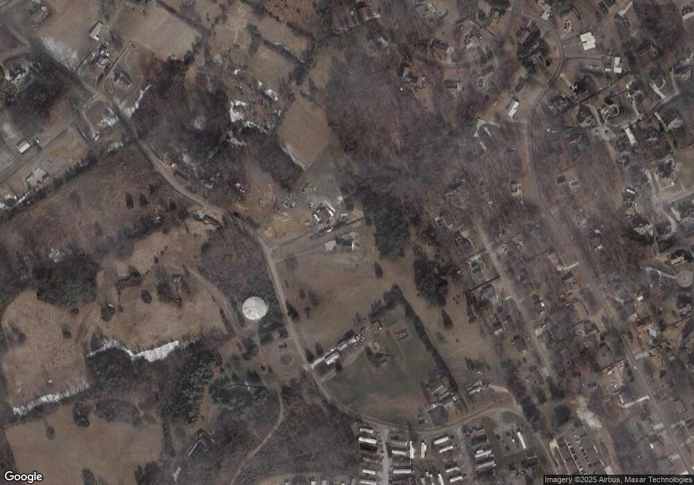
Map
Nearby Homes
- 1086 St Ives Ct
- 1054 Colonial Dr
- 801 Colonial Dr
- 3641 Meadowland Dr
- 3471 Walden Dr
- 3475 Walden Dr
- 2978 Wilshire Blvd
- 700 Drinnon Dr
- 3542 Wedgewood Dr
- 725 Barton Dr
- 400 Drinnon Dr
- 837 Foxglove Ln
- 490 E Sunset Hills
- 3864 Apostle Rd
- 3415 Emerald Ave
- 985 Kidwell Ridge Rd
- 1701 Old Oak Ln
- 4087 Willow Way
- 1736 Jellicorse Rd
- 0 Mcbride Rd
- 850 Central Church Rd
- 838 Central Church Rd
- 727 White Oak Cir
- 836 Central Church Rd
- 736 White Oak Cir
- 723 White Oak Cir
- 873 Central Church Rd
- 719 White Oak Cir
- 923 Central Church Rd
- 732 White Oak Cir
- 728 White Oak Cir
- 863 Central Church Rd
- 724 White Oak Cir
- 715 White Oak Cir
- 3327 Landmark Dr
- 1023 Drinnon Dr
- 1101 Drinnon Dr
- 3331 Landmark Dr
- 1027 Drinnon Dr
- 720 White Oak Cir