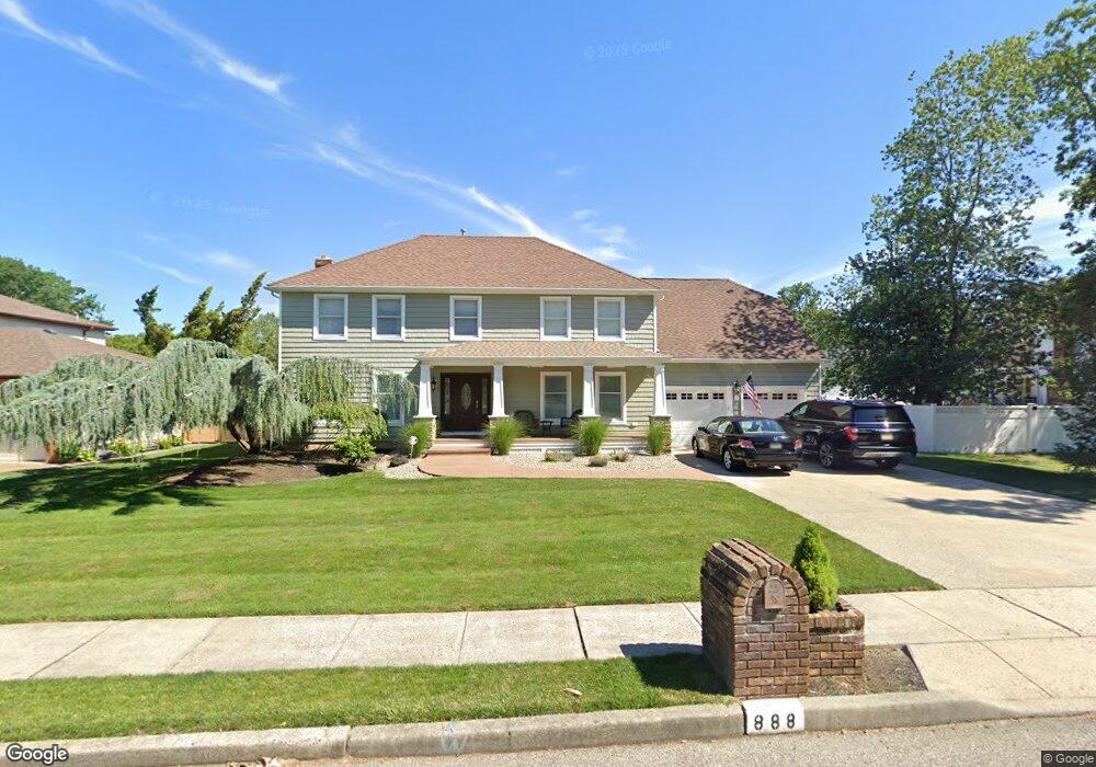
888 Derry Dr Toms River, NJ 08753
Estimated Value: $640,516 - $746,000
4
Beds
3
Baths
2,991
Sq Ft
$239/Sq Ft
Est. Value
About This Home
This home is located at 888 Derry Dr, Toms River, NJ 08753 and is currently estimated at $713,879, approximately $238 per square foot. 888 Derry Dr is a home located in Ocean County.
Ownership History
Date
Name
Owned For
Owner Type
Purchase Details
Closed on
May 12, 2010
Sold by
Nardini Daniel
Bought by
Santo Domingo Nikolai
Current Estimated Value
Home Financials for this Owner
Home Financials are based on the most recent Mortgage that was taken out on this home.
Original Mortgage
$315,000
Outstanding Balance
$205,045
Interest Rate
4.47%
Mortgage Type
Purchase Money Mortgage
Estimated Equity
$508,834
Purchase Details
Closed on
May 7, 1987
Bought by
Nardini Joseph and Nardini Kathleen
Create a Home Valuation Report for This Property
The Home Valuation Report is an in-depth analysis detailing your home's value as well as a comparison with similar homes in the area
Home Values in the Area
Average Home Value in this Area
Purchase History
| Date | Buyer | Sale Price | Title Company |
|---|---|---|---|
| Santo Domingo Nikolai | $315,000 | Counsellors Title Agency Inc | |
| Nardini Joseph | -- | -- |
Source: Public Records
Mortgage History
| Date | Status | Borrower | Loan Amount |
|---|---|---|---|
| Open | Santo Domingo Nikolai | $315,000 |
Source: Public Records
Tax History
| Year | Tax Paid | Tax Assessment Tax Assessment Total Assessment is a certain percentage of the fair market value that is determined by local assessors to be the total taxable value of land and additions on the property. | Land | Improvement |
|---|---|---|---|---|
| 2025 | $9,045 | $496,700 | $124,000 | $372,700 |
| 2024 | $8,598 | $496,700 | $124,000 | $372,700 |
Source: Public Records
Map
Nearby Homes
- 867 Derry Dr
- 862 Bay Ave
- 969 Bay Ave
- 925 Stafford Dr
- 400 Killarney Dr
- 899 Molde Ct
- 998 Bell St
- 348 Cedar Grove Rd
- 1013 Bay Ave
- 972 Quartz Dr
- 927 Indian Hill Rd
- 71 Oak Glen Rd
- 817 W Briar Ave
- 1052 Bell St
- 4 Pearl Dr
- 845 Naryshkin Way
- 786 Nebraska Ave
- 837 Naryshkin Way
- 833 Naryshkin Way
- 779 Nebraska Ave
- 886 Derry Dr
- 865 Goose Creek Rd
- 23 N Tunesbrook Dr
- 889 Derry Dr
- 882 Derry Dr
- 891 Derry Dr
- 887 Derry Dr
- 25 N Tunesbrook Dr
- 869 Goose Creek Rd
- 883 Derry Dr
- 878 Derry Dr
- 22 N Tunesbrook Dr
- 20 N Tunesbrook Dr
- 15 N Tunesbrook Dr
- 27 N Tunesbrook Dr
- 26 N Tunesbrook Dr
- 879 Derry Dr
- 873 Goose Creek Rd
- 18 N Tunesbrook Dr
- 866 Goose Creek Rd
Your Personal Tour Guide
Ask me questions while you tour the home.