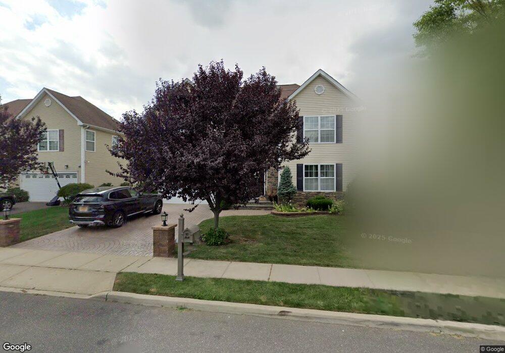
888 Otsego Rd West Hempstead, NY 11552
Estimated Value: $858,026 - $963,000
--
Bed
3
Baths
2,445
Sq Ft
$375/Sq Ft
Est. Value
About This Home
This home is located at 888 Otsego Rd, West Hempstead, NY 11552 and is currently estimated at $916,757, approximately $374 per square foot. 888 Otsego Rd is a home located in Nassau County with nearby schools including Davison Avenue Intermediate School, Maurice W. Downing Primary K-2 School, and Howard T Herber Middle School.
Ownership History
Date
Name
Owned For
Owner Type
Purchase Details
Closed on
Jun 27, 2017
Sold by
Paul-Bazil Wayne
Bought by
Green Andrew and Green Lonette
Current Estimated Value
Home Financials for this Owner
Home Financials are based on the most recent Mortgage that was taken out on this home.
Original Mortgage
$504,000
Outstanding Balance
$419,313
Interest Rate
3.94%
Mortgage Type
New Conventional
Estimated Equity
$497,444
Purchase Details
Closed on
Jan 30, 2009
Sold by
Meadows At West Hempstead
Bought by
Paul-Bazil Wayne
Create a Home Valuation Report for This Property
The Home Valuation Report is an in-depth analysis detailing your home's value as well as a comparison with similar homes in the area
Home Values in the Area
Average Home Value in this Area
Purchase History
| Date | Buyer | Sale Price | Title Company |
|---|---|---|---|
| Green Andrew | $630,000 | County Abstract Of Ny Inc | |
| Paul-Bazil Wayne | $545,000 | -- |
Source: Public Records
Mortgage History
| Date | Status | Borrower | Loan Amount |
|---|---|---|---|
| Open | Green Andrew | $504,000 |
Source: Public Records
Tax History Compared to Growth
Tax History
| Year | Tax Paid | Tax Assessment Tax Assessment Total Assessment is a certain percentage of the fair market value that is determined by local assessors to be the total taxable value of land and additions on the property. | Land | Improvement |
|---|---|---|---|---|
| 2025 | $17,030 | $574 | $158 | $416 |
| 2024 | $5,664 | $574 | $158 | $416 |
| 2023 | $15,884 | $574 | $158 | $416 |
| 2022 | $15,884 | $574 | $158 | $416 |
| 2021 | $20,998 | $574 | $150 | $424 |
| 2020 | $16,815 | $919 | $387 | $532 |
| 2019 | $5,945 | $919 | $387 | $532 |
| 2018 | $11,363 | $919 | $0 | $0 |
| 2017 | $10,358 | $1,057 | $387 | $670 |
| 2016 | $16,576 | $1,057 | $387 | $670 |
| 2015 | $5,818 | $1,057 | $387 | $670 |
| 2014 | $5,818 | $1,057 | $387 | $670 |
| 2013 | $5,479 | $1,057 | $387 | $670 |
Source: Public Records
Map
Nearby Homes
- 924 Otsego Ct
- 919 Pinelake Dr
- 0 Rhodes Ln
- 486 Champlain Ave
- 450 Rhodes Ln
- 1025 Ontario Rd
- 9 Coral Ct
- 7 Hopatcong Ave
- 1024 Mahopac Rd
- 10 Atlas Ave
- 401 Ocean Ave
- 1070 Mahopac Rd
- 899 Cleveland St
- 841 Woodfield Rd
- 461 Pinebrook Ave
- 10 Pinebrook Ave
- 394 Pinebrook Ave
- 853 Arthur St
- 81 Gerard Ave W
- 312 Coventry Rd S