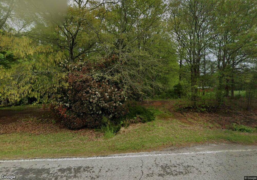
889 Austin Reynolds Rd Bethlehem, GA 30620
Estimated Value: $292,000 - $1,139,630
2
Beds
4
Baths
1,560
Sq Ft
$379/Sq Ft
Est. Value
About This Home
This home is located at 889 Austin Reynolds Rd, Bethlehem, GA 30620 and is currently estimated at $591,877, approximately $379 per square foot. 889 Austin Reynolds Rd is a home located in Barrow County with nearby schools including Yargo Elementary School, Haymon-Morris Middle School, and Apalachee High School.
Ownership History
Date
Name
Owned For
Owner Type
Purchase Details
Closed on
Jul 11, 2024
Sold by
Prasse Keith W
Bought by
Prasse Family Trust Dated July 11 2024 and Prasse David W Tr
Current Estimated Value
Purchase Details
Closed on
May 26, 1988
Bought by
Prasse Keith W and Prasse Sus
Create a Home Valuation Report for This Property
The Home Valuation Report is an in-depth analysis detailing your home's value as well as a comparison with similar homes in the area
Home Values in the Area
Average Home Value in this Area
Purchase History
| Date | Buyer | Sale Price | Title Company |
|---|---|---|---|
| Prasse Family Trust Dated July 11 2024 | -- | -- | |
| Prasse Keith W | $126,000 | -- |
Source: Public Records
Tax History Compared to Growth
Tax History
| Year | Tax Paid | Tax Assessment Tax Assessment Total Assessment is a certain percentage of the fair market value that is determined by local assessors to be the total taxable value of land and additions on the property. | Land | Improvement |
|---|---|---|---|---|
| 2024 | $5,038 | $339,814 | $147,198 | $192,616 |
| 2023 | $5,729 | $339,814 | $147,198 | $192,616 |
| 2022 | $4,328 | $279,322 | $147,198 | $132,124 |
| 2021 | $3,686 | $254,703 | $144,762 | $109,941 |
| 2020 | $3,456 | $212,665 | $112,100 | $100,565 |
| 2019 | $3,501 | $212,665 | $112,100 | $100,565 |
| 2018 | $3,471 | $212,655 | $112,100 | $100,555 |
| 2017 | $5,722 | $196,515 | $112,100 | $84,415 |
| 2016 | $2,668 | $217,113 | $141,245 | $75,868 |
| 2015 | $2,694 | $218,046 | $141,245 | $76,801 |
| 2014 | $2,774 | $166,719 | $88,984 | $77,734 |
| 2013 | -- | $163,028 | $88,984 | $74,044 |
Source: Public Records
Map
Nearby Homes
- 704 Newnham Walk
- 1164 Otis Dr
- 1024 Lyndhurst Ln
- 738 Worth Ct
- 1758 Miller Springs Dr
- 724 Westbury Dr
- 117 Kensington Trace
- 268 Silverleaf Trail
- 280 Silverleaf Trail
- Lancaster Plan at The Estates at Casteel
- Buckley Plan at The Estates at Casteel
- Cardiff Plan at The Estates at Casteel
- Pearson Plan at The Estates at Casteel
- Savoy Plan at The Estates at Casteel
- Hampstead Plan at The Estates at Casteel
- Pembroke Plan at The Estates at Casteel
- 73 Silverleaf Trail
- 720 Westbury Ct
- 362 Silverleaf Trail
- 1111 Otis Dr
- 711 Newnham Walk Unit 53
- 711 Newnham Walk
- 711 Newham Walk
- 712 Newnham Walk
- 1571 Pointe Cir S
- 1571 Pointe Cir S Unit 135
- 1569 Pointe Cir S
- 1573 Pointe South Cir
- 707 Newnham Walk
- 1567 Pointe Cir S
- 1575 Pointe South Cir
- 1575 Pointe Cir S
- 705 Newnham Walk Unit 2
- 1565 Pointe Cir S
- 710 Newnham Walk
- 708 Newnham Walk
- 1577 Pointe Cir S Unit 38,39,41,43
- 1577 Pointe Cir S
- 1577 Pointe South Cir Unit 38,39,41,43
- 1577 Pointe South Cir
