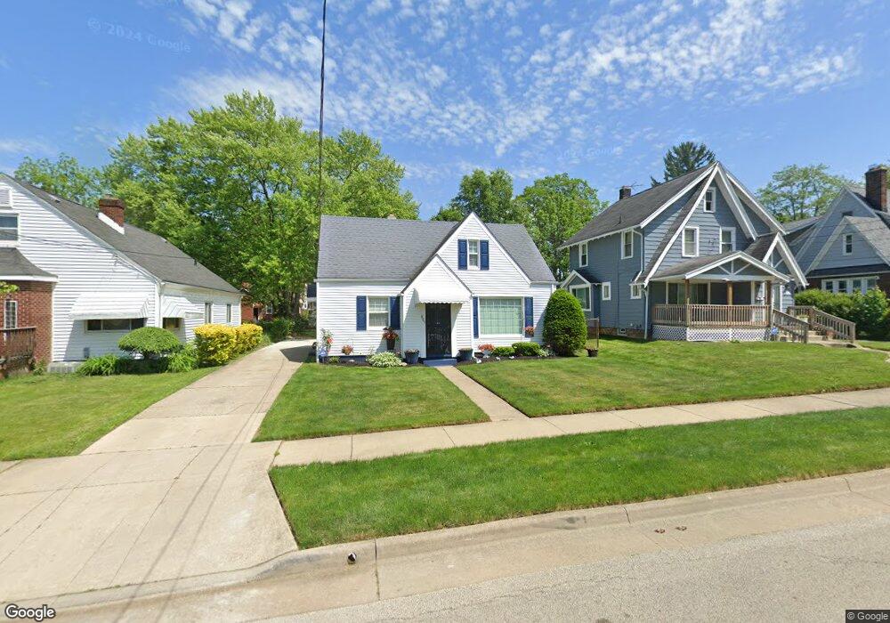
889 Dover Ave Akron, OH 44320
West Akron NeighborhoodEstimated Value: $95,524 - $150,000
2
Beds
1
Bath
800
Sq Ft
$153/Sq Ft
Est. Value
About This Home
This home is located at 889 Dover Ave, Akron, OH 44320 and is currently estimated at $122,381, approximately $152 per square foot. 889 Dover Ave is a home located in Summit County with nearby schools including Summit Academy School, Emmanuel Christian Academy, and Julie Billiart School Akron.
Ownership History
Date
Name
Owned For
Owner Type
Purchase Details
Closed on
Jan 15, 2014
Sold by
Tucker Mark A
Bought by
Tucker Cathy G
Current Estimated Value
Purchase Details
Closed on
Jun 8, 1995
Sold by
Jackson Finise
Bought by
Tucker Mark A and Tucker Cathy G
Home Financials for this Owner
Home Financials are based on the most recent Mortgage that was taken out on this home.
Original Mortgage
$46,550
Interest Rate
8.26%
Mortgage Type
New Conventional
Create a Home Valuation Report for This Property
The Home Valuation Report is an in-depth analysis detailing your home's value as well as a comparison with similar homes in the area
Home Values in the Area
Average Home Value in this Area
Purchase History
| Date | Buyer | Sale Price | Title Company |
|---|---|---|---|
| Tucker Cathy G | -- | None Available | |
| Tucker Mark A | $48,050 | -- |
Source: Public Records
Mortgage History
| Date | Status | Borrower | Loan Amount |
|---|---|---|---|
| Closed | Tucker Mark A | $46,550 |
Source: Public Records
Tax History
| Year | Tax Paid | Tax Assessment Tax Assessment Total Assessment is a certain percentage of the fair market value that is determined by local assessors to be the total taxable value of land and additions on the property. | Land | Improvement |
|---|---|---|---|---|
| 2025 | $1,401 | $22,842 | $6,731 | $16,111 |
| 2024 | $1,401 | $25,540 | $6,731 | $18,809 |
| 2023 | $1,401 | $25,540 | $6,731 | $18,809 |
| 2022 | $1,102 | $15,481 | $4,081 | $11,400 |
| 2021 | $1,103 | $15,481 | $4,081 | $11,400 |
| 2020 | $1,087 | $15,480 | $4,080 | $11,400 |
| 2019 | $1,085 | $14,040 | $5,280 | $8,760 |
| 2018 | $1,072 | $14,040 | $5,280 | $8,760 |
| 2017 | $1,101 | $14,040 | $5,280 | $8,760 |
| 2016 | $1,102 | $14,230 | $5,280 | $8,950 |
| 2015 | $1,101 | $14,230 | $5,280 | $8,950 |
| 2014 | $1,093 | $14,230 | $5,280 | $8,950 |
| 2013 | $1,196 | $16,040 | $5,280 | $10,760 |
Source: Public Records
Map
Nearby Homes
- 926 Winton Ave
- 869 Packard Dr
- 934 Packard Dr
- 761 Glendora Ave
- 852 Storer Ave
- 687 Moreley Ave
- 801 Storer Ave
- 1126 Orlando Ave
- 671 Moreley Ave
- 892-894 Storer Ave
- 970 Mercer Ave
- 957 Mercer Ave
- 615 Noah Ave
- 616 Noble Ave
- 617 Moreley Ave
- 445 Noah Ave
- 1088 Packard Dr
- 1040 Mercer Ave
- 580 Moreley Ave
- 687 Crestview Ave
Your Personal Tour Guide
Ask me questions while you tour the home.