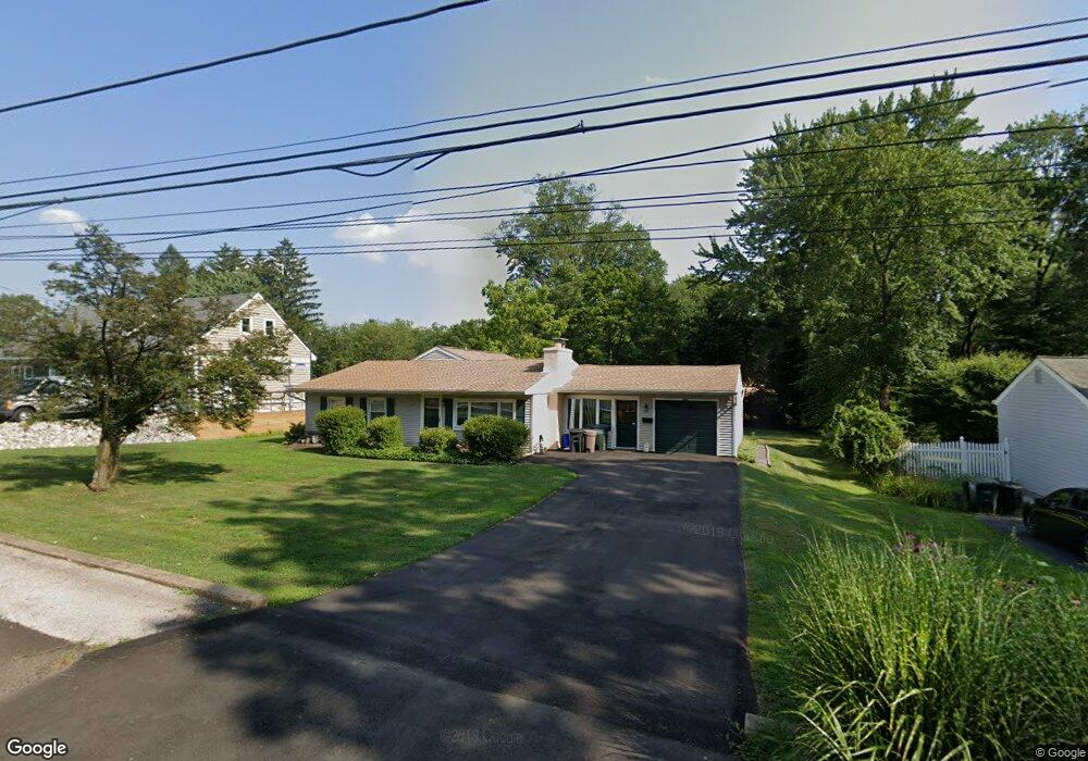
889 E Maple Dr Southampton, PA 18966
Estimated Value: $441,994 - $569,000
3
Beds
1
Bath
1,828
Sq Ft
$279/Sq Ft
Est. Value
About This Home
This home is located at 889 E Maple Dr, Southampton, PA 18966 and is currently estimated at $510,249, approximately $279 per square foot. 889 E Maple Dr is a home located in Bucks County with nearby schools including Davis Elementary School, Klinger Middle School, and William Tennent High School.
Ownership History
Date
Name
Owned For
Owner Type
Purchase Details
Closed on
May 4, 2005
Sold by
Gallagher Joseph L and Penecale Nancy
Bought by
Brenner Christian F
Current Estimated Value
Home Financials for this Owner
Home Financials are based on the most recent Mortgage that was taken out on this home.
Original Mortgage
$185,000
Outstanding Balance
$97,141
Interest Rate
5.95%
Mortgage Type
Fannie Mae Freddie Mac
Estimated Equity
$413,108
Purchase Details
Closed on
Jul 26, 1996
Sold by
Byrne Thomas E and Byrne Diann
Bought by
Byrne Thomas E
Home Financials for this Owner
Home Financials are based on the most recent Mortgage that was taken out on this home.
Original Mortgage
$122,250
Interest Rate
12.22%
Create a Home Valuation Report for This Property
The Home Valuation Report is an in-depth analysis detailing your home's value as well as a comparison with similar homes in the area
Home Values in the Area
Average Home Value in this Area
Purchase History
| Date | Buyer | Sale Price | Title Company |
|---|---|---|---|
| Brenner Christian F | $335,000 | -- | |
| Byrne Thomas E | -- | -- |
Source: Public Records
Mortgage History
| Date | Status | Borrower | Loan Amount |
|---|---|---|---|
| Open | Brenner Christian F | $185,000 | |
| Previous Owner | Byrne Thomas E | $122,250 |
Source: Public Records
Tax History
| Year | Tax Paid | Tax Assessment Tax Assessment Total Assessment is a certain percentage of the fair market value that is determined by local assessors to be the total taxable value of land and additions on the property. | Land | Improvement |
|---|---|---|---|---|
| 2025 | $5,296 | $24,760 | $6,680 | $18,080 |
| 2024 | $5,296 | $24,760 | $6,680 | $18,080 |
| 2023 | $5,135 | $24,760 | $6,680 | $18,080 |
| 2022 | $5,027 | $24,760 | $6,680 | $18,080 |
| 2021 | $4,936 | $24,760 | $6,680 | $18,080 |
| 2020 | $4,868 | $24,760 | $6,680 | $18,080 |
| 2019 | $4,689 | $24,760 | $6,680 | $18,080 |
| 2018 | $4,580 | $24,760 | $6,680 | $18,080 |
| 2017 | $4,451 | $24,760 | $6,680 | $18,080 |
| 2016 | $4,451 | $24,760 | $6,680 | $18,080 |
| 2015 | -- | $24,760 | $6,680 | $18,080 |
| 2014 | -- | $24,760 | $6,680 | $18,080 |
Source: Public Records
Map
Nearby Homes
- 1024 School Ln
- 633 Provident Rd
- 649 Provident Rd
- 681 Provident Rd
- 657 Provident Rd
- 406 Steamboat Station Dr
- 1307 Steamboat Station Unit 1307
- 1810 Steamboat Station Dr
- 970 Rozel Ave
- 710 Trowbridge Dr
- 1703 Fredendall Cir
- 1707 Fredendall Cir
- 30 Belmont Station
- 1066 Bristol Rd
- 1495 Estate Ln
- 204 I Hampton Crossing
- 634 Nicole Dr
- 419 Temple Rd
- 1465 Buck Hill Dr
- 4 Sienna Place
- 895 E Maple Dr
- 883 E Maple Dr
- 1245 Marigold Ave
- 877 E Maple Dr
- 888 E Maple Dr
- 901 E Maple Dr
- 915 Woodland Dr
- 882 E Maple Dr
- 894 E Maple Dr
- 923 Woodland Dr
- 876 E Maple Dr
- 906 E Maple Dr
- 1255 Marigold Ave
- 908 Woodland Dr
- 870 E Maple Dr
- 865 E Maple Dr
- 863 Central Ave
- 869 Central Ave
- 857 Central Ave
- 1265 Marigold Ave
Your Personal Tour Guide
Ask me questions while you tour the home.