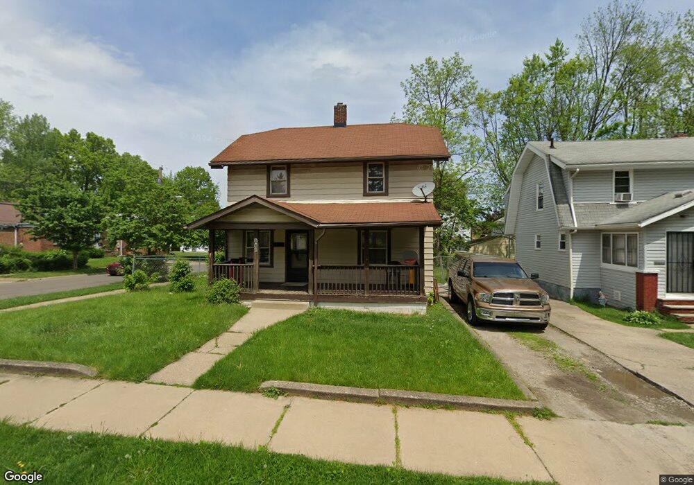
889 Glenn St Akron, OH 44320
West Akron NeighborhoodEstimated Value: $89,000 - $142,000
3
Beds
1
Bath
1,180
Sq Ft
$92/Sq Ft
Est. Value
About This Home
This home is located at 889 Glenn St, Akron, OH 44320 and is currently estimated at $108,288, approximately $91 per square foot. 889 Glenn St is a home located in Summit County with nearby schools including Emmanuel Christian Academy.
Ownership History
Date
Name
Owned For
Owner Type
Purchase Details
Closed on
Jul 23, 2006
Sold by
Grimes Yolanda M
Bought by
Grimes Larry
Current Estimated Value
Purchase Details
Closed on
Feb 20, 2004
Sold by
Grimes Larry and Grimes Yolanda M
Bought by
Grimes Larry and Grimes Yolanda M
Home Financials for this Owner
Home Financials are based on the most recent Mortgage that was taken out on this home.
Original Mortgage
$32,600
Interest Rate
5.96%
Mortgage Type
New Conventional
Purchase Details
Closed on
May 20, 2003
Sold by
Jackson Stephanie R and Jackson Stephanie
Bought by
U S Bank Na and Eqcc Home Equity Loan Trust 1999-2
Create a Home Valuation Report for This Property
The Home Valuation Report is an in-depth analysis detailing your home's value as well as a comparison with similar homes in the area
Home Values in the Area
Average Home Value in this Area
Purchase History
| Date | Buyer | Sale Price | Title Company |
|---|---|---|---|
| Grimes Larry | -- | None Available | |
| Grimes Larry | -- | First Security Title Corp | |
| U S Bank Na | $36,000 | Accutitle Agency Inc |
Source: Public Records
Mortgage History
| Date | Status | Borrower | Loan Amount |
|---|---|---|---|
| Previous Owner | Grimes Larry | $32,600 |
Source: Public Records
Tax History
| Year | Tax Paid | Tax Assessment Tax Assessment Total Assessment is a certain percentage of the fair market value that is determined by local assessors to be the total taxable value of land and additions on the property. | Land | Improvement |
|---|---|---|---|---|
| 2025 | $1,517 | $23,633 | $6,087 | $17,546 |
| 2024 | $1,517 | $23,633 | $6,087 | $17,546 |
| 2023 | $1,517 | $23,633 | $6,087 | $17,546 |
| 2022 | $1,156 | $14,322 | $3,689 | $10,633 |
| 2021 | $1,157 | $14,322 | $3,689 | $10,633 |
| 2020 | $1,142 | $14,320 | $3,690 | $10,630 |
| 2019 | $1,086 | $12,240 | $4,770 | $7,470 |
| 2018 | $1,074 | $12,240 | $4,770 | $7,470 |
| 2017 | $1,101 | $12,240 | $4,770 | $7,470 |
| 2016 | $1,102 | $12,410 | $4,770 | $7,640 |
| 2015 | $1,101 | $12,410 | $4,770 | $7,640 |
| 2014 | $1,683 | $12,410 | $4,770 | $7,640 |
| 2013 | $1,876 | $14,700 | $4,770 | $9,930 |
Source: Public Records
Map
Nearby Homes
- 1040 Mercer Ave
- VL Mercer Ave
- 970 Mercer Ave
- 1088 Packard Dr
- 957 Mercer Ave
- 892-894 Storer Ave
- 1041 Diagonal Rd
- 852 Storer Ave
- 934 Packard Dr
- 1225 Belleflower Rd
- 1255 Dover Ave
- 1188 Hardesty Blvd
- 801 Storer Ave
- 985 Diana Ave
- 783 Leonard St
- 926 Winton Ave
- 869 Packard Dr
- 776 Krause Ct
- 615 Noah Ave
- 616 Noble Ave
Your Personal Tour Guide
Ask me questions while you tour the home.