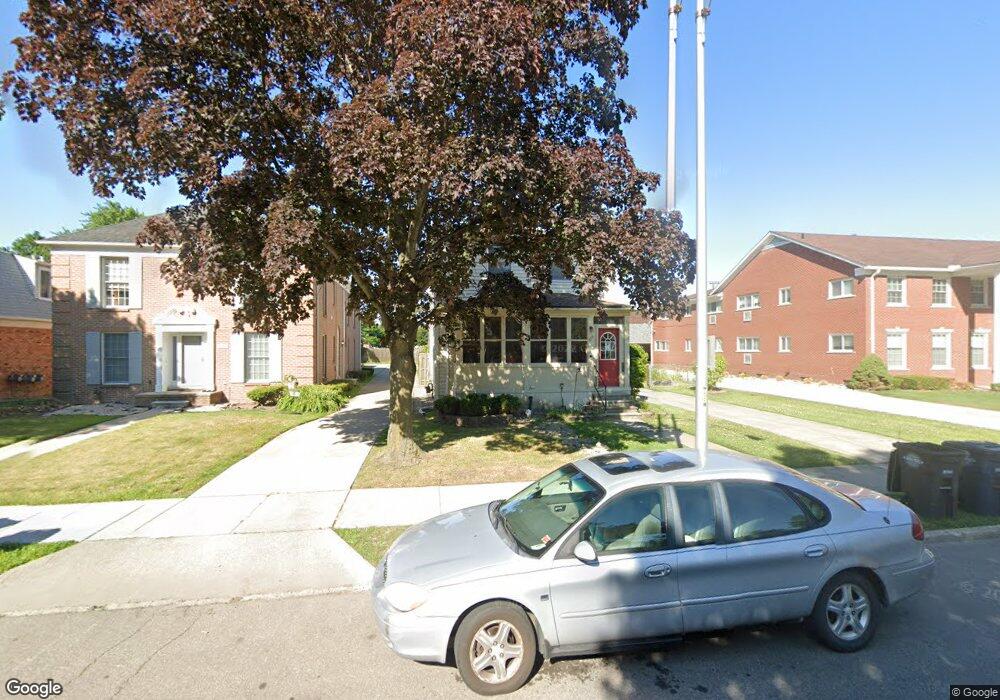
889 Neff Rd Unit 2 Grosse Pointe, MI 48230
Estimated Value: $308,000 - $395,000
3
Beds
2
Baths
1,904
Sq Ft
$189/Sq Ft
Est. Value
About This Home
This home is located at 889 Neff Rd Unit 2, Grosse Pointe, MI 48230 and is currently estimated at $359,645, approximately $188 per square foot. 889 Neff Rd Unit 2 is a home located in Wayne County with nearby schools including Lewis Maire Elementary School, Pierce Middle School, and Grosse Pointe South High School.
Ownership History
Date
Name
Owned For
Owner Type
Purchase Details
Closed on
Nov 4, 2025
Sold by
An Anthony David
Bought by
Driscoll Patrick
Current Estimated Value
Home Financials for this Owner
Home Financials are based on the most recent Mortgage that was taken out on this home.
Original Mortgage
$201,000
Outstanding Balance
$200,435
Interest Rate
6.34%
Mortgage Type
New Conventional
Estimated Equity
$159,210
Purchase Details
Closed on
Jul 24, 2018
Sold by
Deseranno Fayad Debra and Deseranno Debra
Bought by
David Anthony
Purchase Details
Closed on
May 8, 1998
Sold by
Peter Xena Catherine M and Peter Xena
Bought by
Fayad Paul
Create a Home Valuation Report for This Property
The Home Valuation Report is an in-depth analysis detailing your home's value as well as a comparison with similar homes in the area
Home Values in the Area
Average Home Value in this Area
Purchase History
| Date | Buyer | Sale Price | Title Company |
|---|---|---|---|
| Driscoll Patrick | $268,000 | Rocket Close | |
| David Anthony | $230,000 | None Available | |
| Fayad Paul | $240,000 | -- |
Source: Public Records
Mortgage History
| Date | Status | Borrower | Loan Amount |
|---|---|---|---|
| Open | Driscoll Patrick | $201,000 |
Source: Public Records
Tax History
| Year | Tax Paid | Tax Assessment Tax Assessment Total Assessment is a certain percentage of the fair market value that is determined by local assessors to be the total taxable value of land and additions on the property. | Land | Improvement |
|---|---|---|---|---|
| 2025 | $4,186 | $162,400 | $0 | $0 |
| 2024 | $4,045 | $154,500 | $0 | $0 |
| 2023 | $3,858 | $149,000 | $0 | $0 |
| 2022 | $5,583 | $133,400 | $0 | $0 |
| 2021 | $5,294 | $122,600 | $0 | $0 |
| 2019 | $5,498 | $101,100 | $0 | $0 |
| 2018 | $2,350 | $86,300 | $0 | $0 |
| 2017 | $4,082 | $85,300 | $0 | $0 |
| 2016 | $4,306 | $80,500 | $0 | $0 |
| 2015 | $6,706 | $76,200 | $0 | $0 |
| 2013 | $9,441 | $99,400 | $0 | $0 |
| 2012 | -- | $92,200 | $0 | $0 |
Source: Public Records
Map
Nearby Homes
- 17540 Mack Ave Unit 10
- 17590 Mack Ave Unit 8
- 3808 Cadieux Rd
- 4104 Woodhall St
- 3930 Cadieux Rd
- 3950 Cadieux Rd
- 775 Notre Dame St
- 781 Loraine St
- 3482 Grayton St
- 4082 Hereford St
- 17179 Detroit St
- 4121 Harvard Rd
- 3828 Bishop St
- 693 Saint Clair Ave
- 719 Fisher Rd
- 1425 Bishop Rd
- 4154 Grayton St
- 614 Rivard Blvd
- 4383 Neff Ave
- 17228 Munich St
Your Personal Tour Guide
Ask me questions while you tour the home.