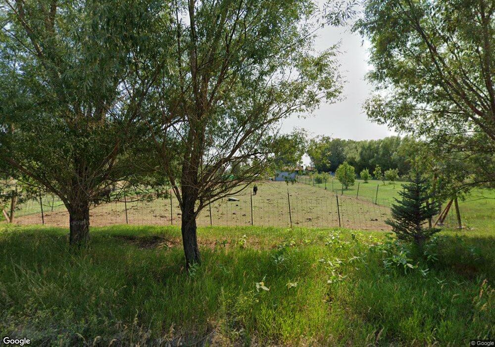
889 Riverside Ave Powell, WY 82435
Estimated Value: $471,000 - $1,119,000
5
Beds
3
Baths
2,468
Sq Ft
$272/Sq Ft
Est. Value
About This Home
This home is located at 889 Riverside Ave, Powell, WY 82435 and is currently estimated at $671,851, approximately $272 per square foot. 889 Riverside Ave is a home located in Park County with nearby schools including Southside Elementary School, Clark Elementary School, and Powell Middle School.
Ownership History
Date
Name
Owned For
Owner Type
Purchase Details
Closed on
Dec 6, 2005
Sold by
Nicholson Monty C and Nicholson Teresa R
Bought by
Asay Robert Howard and Asay Karyn L
Current Estimated Value
Home Financials for this Owner
Home Financials are based on the most recent Mortgage that was taken out on this home.
Original Mortgage
$212,000
Outstanding Balance
$116,989
Interest Rate
6.06%
Mortgage Type
New Conventional
Estimated Equity
$554,862
Create a Home Valuation Report for This Property
The Home Valuation Report is an in-depth analysis detailing your home's value as well as a comparison with similar homes in the area
Home Values in the Area
Average Home Value in this Area
Purchase History
| Date | Buyer | Sale Price | Title Company |
|---|---|---|---|
| Asay Robert Howard | -- | None Available |
Source: Public Records
Mortgage History
| Date | Status | Borrower | Loan Amount |
|---|---|---|---|
| Open | Asay Robert Howard | $212,000 |
Source: Public Records
Tax History Compared to Growth
Tax History
| Year | Tax Paid | Tax Assessment Tax Assessment Total Assessment is a certain percentage of the fair market value that is determined by local assessors to be the total taxable value of land and additions on the property. | Land | Improvement |
|---|---|---|---|---|
| 2025 | $2,557 | $36,120 | $7,858 | $28,262 |
| 2024 | $3,063 | $46,276 | $10,074 | $36,202 |
| 2023 | $2,925 | $44,927 | $10,074 | $34,853 |
| 2022 | $2,409 | $37,526 | $6,802 | $30,724 |
| 2021 | $2,028 | $31,657 | $6,313 | $25,344 |
| 2020 | $1,892 | $29,581 | $6,313 | $23,268 |
| 2019 | $1,855 | $28,950 | $6,584 | $22,366 |
| 2018 | $1,787 | $27,996 | $6,584 | $21,412 |
| 2017 | $1,698 | $26,825 | $6,584 | $20,241 |
| 2016 | $1,520 | $24,915 | $6,177 | $18,738 |
| 2015 | -- | $24,589 | $5,838 | $18,751 |
| 2014 | -- | $23,487 | $5,764 | $17,723 |
Source: Public Records
Map
Nearby Homes
- 877 Roney Ave
- 851 Riverside Ave
- TBD Lane 11 1 2
- 914 Lane 11 1 2
- 964 Lane 11
- TBD Cope Trail Unit 2
- 928 1/2 Lane 11
- TBD Wagon Box Ln Unit 16
- 1285 Road 9
- 1061 Vali Rd
- 1002 Lane 11 1 2
- TBD Country Valley Ln
- 1010 Lane 11
- 403 Fiddlers Ln
- 800 N Clark St
- TBD Road 11
- 565 S Bent St
- 506 S Day St
- 1165 Van Place
- 1142 E Madison St
- 889 Riverside Ave
- 885 Riverside Ave
- 879 Riverside Ave
- 894 Riverside Dr
- 1179 Road 9
- 883 Johnson Ave
- 881 Johnson Ave
- 891 Johnson Ave
- 884 Roney Ave
- 875 Riverside Dr
- 886 Roney Ave
- 893 Johnson Ave
- 1191 Road 9
- 895 Johnson Ave
- 876 Riverside Ave
- 876 Riverside Ave
- 873 Johnson Ave
- 881 Roney Ave
- 894 Roney Ave
- 892 Roney Ave
