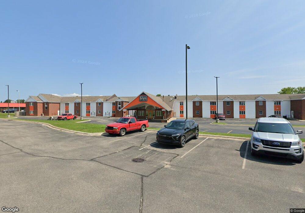
889 S Main St Cheboygan, MI 49721
Estimated Value: $1,504,053
--
Bed
--
Bath
--
Sq Ft
1.08
Acres
About This Home
This home is located at 889 S Main St, Cheboygan, MI 49721 and is currently estimated at $1,504,053. 889 S Main St is a home located in Cheboygan County with nearby schools including Cheboygan Intermediate School, East Elementary School, and Cheboygan Area High School.
Ownership History
Date
Name
Owned For
Owner Type
Purchase Details
Closed on
Jan 30, 2020
Sold by
Gspp Llc
Bought by
Raahi Investments Inc
Current Estimated Value
Home Financials for this Owner
Home Financials are based on the most recent Mortgage that was taken out on this home.
Original Mortgage
$1
Outstanding Balance
$1
Interest Rate
3.7%
Mortgage Type
New Conventional
Purchase Details
Closed on
Mar 15, 2019
Sold by
Oidiznot Llc
Bought by
Gspp Llc
Home Financials for this Owner
Home Financials are based on the most recent Mortgage that was taken out on this home.
Original Mortgage
$1
Interest Rate
4.3%
Mortgage Type
New Conventional
Purchase Details
Closed on
Jan 3, 2000
Sold by
Hunsaker Elmer and Karen Ttees
Bought by
Oidiznot, Llc
Create a Home Valuation Report for This Property
The Home Valuation Report is an in-depth analysis detailing your home's value as well as a comparison with similar homes in the area
Home Values in the Area
Average Home Value in this Area
Purchase History
| Date | Buyer | Sale Price | Title Company |
|---|---|---|---|
| Raahi Investments Inc | -- | -- | |
| Gspp Llc | -- | -- | |
| Oidiznot, Llc | $150,000 | -- |
Source: Public Records
Mortgage History
| Date | Status | Borrower | Loan Amount |
|---|---|---|---|
| Open | Raahi Investments Inc | $1 | |
| Previous Owner | Gspp Llc | $1 |
Source: Public Records
Tax History Compared to Growth
Tax History
| Year | Tax Paid | Tax Assessment Tax Assessment Total Assessment is a certain percentage of the fair market value that is determined by local assessors to be the total taxable value of land and additions on the property. | Land | Improvement |
|---|---|---|---|---|
| 2025 | $24,786 | $622,600 | $0 | $0 |
| 2024 | $20,345 | $568,900 | $0 | $0 |
| 2023 | $19,475 | $497,800 | $0 | $0 |
| 2022 | $18,719 | $452,500 | $0 | $0 |
| 2021 | $21,447 | $367,100 | $367,100 | $0 |
| 2020 | $22,211 | $379,000 | $379,000 | $0 |
| 2019 | $21,954 | $391,500 | $391,500 | $0 |
| 2018 | $27,616 | $380,600 | $0 | $0 |
| 2017 | $24,788 | $360,300 | $0 | $0 |
| 2016 | $29,232 | $360,300 | $0 | $0 |
| 2015 | -- | $370,800 | $0 | $0 |
| 2014 | -- | $381,100 | $0 | $0 |
| 2012 | -- | $397,200 | $0 | $0 |
Source: Public Records
Map
Nearby Homes
- 178 Riverside Dr
- 172 E Lincoln Ave
- 912 S Huron St
- 444 Riverside Dr
- 506 Stempky St
- 501 Obrien Dr
- 9840 N Straits Hwy
- 622 W Lincoln Ave
- 100 Woodland Ct
- V/L 2.70AC N Straits Hwy
- 354 Sammons St
- 303 S C St
- 0 Townline Rd Unit 201816742
- 208 S D St
- V/L 33AC Moonlight Bay Rd
- 115 S D St
- 1357 Sharon Ln
- 106 S B St
- Lot 9 U S 23
- W1/2 Lot 1 U S 23
- 39 Franklin St
- 0 Franklin St Unit PT GOVT LOT 2 298259
- 0 Franklin St
- 212 Riverside Dr
- 208 Riverside Dr
- 117 Franklin St
- 216 Riverside Dr
- 204 Riverside Dr
- 200 Riverside Dr
- 220 Riverside Dr
- 126 Franklin St
- 113 Franklin St
- 190 Riverside Dr
- 304 Riverside Dr
- 124 Franklin St Unit (LOT 9)
- 124 Franklin St
- 120 Franklin St
- 310 Riverside Dr
- 308 Riverside Dr
- 186 Riverside Dr