889 Stevensville Airport Rd Stevensville, MT 59870
Estimated Value: $297,749
--
Bed
--
Bath
800
Sq Ft
$372/Sq Ft
Est. Value
About This Home
This home is located at 889 Stevensville Airport Rd, Stevensville, MT 59870 and is currently priced at $297,749, approximately $372 per square foot. 889 Stevensville Airport Rd is a home located in Ravalli County with nearby schools including Stevensville Elementary School, Stevensville Junior High School, and Stevensville High School.
Ownership History
Date
Name
Owned For
Owner Type
Purchase Details
Closed on
Jun 28, 2019
Sold by
Hoover Steven E and Hoover Lisa M
Bought by
Park Valerie L
Current Estimated Value
Home Financials for this Owner
Home Financials are based on the most recent Mortgage that was taken out on this home.
Original Mortgage
$98,000
Outstanding Balance
$75,618
Interest Rate
4%
Mortgage Type
Seller Take Back
Create a Home Valuation Report for This Property
The Home Valuation Report is an in-depth analysis detailing your home's value as well as a comparison with similar homes in the area
Home Values in the Area
Average Home Value in this Area
Purchase History
| Date | Buyer | Sale Price | Title Company |
|---|---|---|---|
| Park Valerie L | $122,500 | Insured Title |
Source: Public Records
Mortgage History
| Date | Status | Borrower | Loan Amount |
|---|---|---|---|
| Open | Park Valerie L | $98,000 |
Source: Public Records
Tax History Compared to Growth
Tax History
| Year | Tax Paid | Tax Assessment Tax Assessment Total Assessment is a certain percentage of the fair market value that is determined by local assessors to be the total taxable value of land and additions on the property. | Land | Improvement |
|---|---|---|---|---|
| 2025 | $5,651 | $824,170 | $0 | $0 |
| 2024 | $7,736 | $1,036,500 | $0 | $0 |
| 2023 | $7,764 | $1,036,500 | $0 | $0 |
| 2022 | $2,852 | $318,260 | $0 | $0 |
| 2021 | $2,017 | $216,300 | $0 | $0 |
| 2020 | $1,901 | $188,470 | $0 | $0 |
| 2019 | $1,884 | $188,470 | $0 | $0 |
| 2018 | $1,752 | $176,250 | $0 | $0 |
| 2017 | $1,730 | $176,250 | $0 | $0 |
| 2016 | $1,125 | $119,520 | $0 | $0 |
| 2015 | $594 | $67,850 | $0 | $0 |
| 2014 | $848 | $68,589 | $0 | $0 |
Source: Public Records
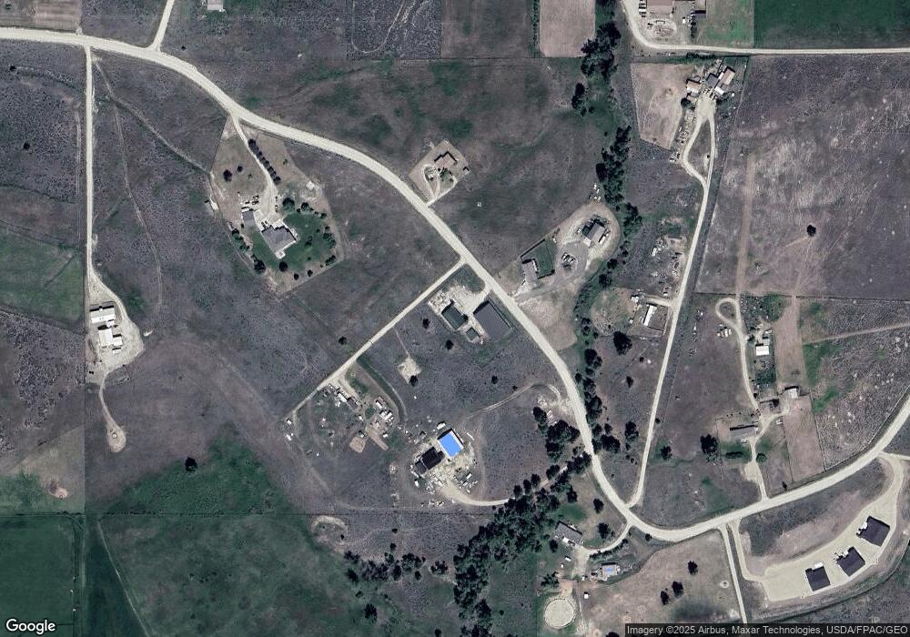
Map
Nearby Homes
- 724 Rising Sun Ln
- 982 Foxy Ln
- 902 Foxy Ln
- 4264 Odyssey Ct
- 999 Websters Way
- 1127 Park Ln
- 751 Lazy Heart Dr
- 4283 Burro Ln
- 4301 Burro Ln
- 522 Stevensville Airport Rd
- 1003 N Burnt Fork Rd
- 650 Hollibaugh Rd
- 4272 S Cougar Ln
- Nhn Sunnyside Cemetery Rd
- 1073 N Burnt Fork Rd
- Lot 4 Bessie Ln
- 4358 Charlotte Way
- 475 Echo Ridge
- NKN Cougar Ln
- Lot 2 Reed Butte Rd
- 902 Airport Rd
- 902 Stevensville Airport Rd
- 899 Stevensville Airport Rd
- 885 Stevensville Airport Rd
- Nhn Stevensville Airport Rd
- 870 Stevensville Airport Rd
- 870 Stevensville Airport Rd
- 853 Stevensville Airport Rd
- 921 Stevensville Airport Rd
- 921 Stevensville Airport Rd
- 936 Stevensville Airport Rd
- 918 Stevensville Airport Rd
- 827 Stevensville Airport Rd
- 827 Stevensville Airport Rd
- 952 Stevensville Airport Rd
- 4040 Sage Creek Rd
- Lot 4-B Stevensville Airport Rd
- Lot 4-A Stevensville Airport Rd
- 4088 Sage Creek Rd
- 4080 Sage Creek Rd