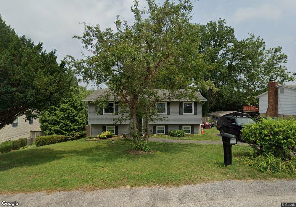
889 Wilson Rd Arnold, MD 21012
Estimated Value: $394,000 - $485,000
Studio
2
Baths
1,032
Sq Ft
$426/Sq Ft
Est. Value
About This Home
This home is located at 889 Wilson Rd, Arnold, MD 21012 and is currently estimated at $439,377, approximately $425 per square foot. 889 Wilson Rd is a home located in Anne Arundel County with nearby schools including Belvedere Elementary School, Severn River Middle School, and Broadneck High School.
Ownership History
Date
Name
Owned For
Owner Type
Purchase Details
Closed on
Jun 30, 2021
Sold by
Bigbie Samuel H and Bigbie Sheila M
Bought by
Hicks Timothy J
Current Estimated Value
Home Financials for this Owner
Home Financials are based on the most recent Mortgage that was taken out on this home.
Original Mortgage
$309,294
Interest Rate
2.9%
Mortgage Type
FHA
Create a Home Valuation Report for This Property
The Home Valuation Report is an in-depth analysis detailing your home's value as well as a comparison with similar homes in the area
Home Values in the Area
Average Home Value in this Area
Purchase History
| Date | Buyer | Sale Price | Title Company |
|---|---|---|---|
| Hicks Timothy J | $315,000 | Charter Title Llc |
Source: Public Records
Mortgage History
| Date | Status | Borrower | Loan Amount |
|---|---|---|---|
| Previous Owner | Hicks Timothy J | $309,294 | |
| Previous Owner | Hicks Timothy J | $9,278 |
Source: Public Records
Tax History
| Year | Tax Paid | Tax Assessment Tax Assessment Total Assessment is a certain percentage of the fair market value that is determined by local assessors to be the total taxable value of land and additions on the property. | Land | Improvement |
|---|---|---|---|---|
| 2025 | $4,511 | $382,367 | -- | -- |
| 2024 | $4,511 | $366,100 | $231,000 | $135,100 |
| 2023 | $3,817 | $349,567 | $0 | $0 |
| 2022 | $3,910 | $333,033 | $0 | $0 |
| 2020 | $3,604 | $307,533 | $0 | $0 |
| 2019 | $3,513 | $298,567 | $0 | $0 |
| 2018 | $2,937 | $289,600 | $162,000 | $127,600 |
| 2017 | $3,351 | $289,300 | $0 | $0 |
| 2016 | -- | $289,000 | $0 | $0 |
| 2015 | -- | $288,700 | $0 | $0 |
| 2014 | -- | $280,900 | $0 | $0 |
Source: Public Records
Map
Nearby Homes
- 852 Birchwood Ct
- 342 Buena Vista Ave
- 813 Mago Vista Rd
- 797 David Dr
- 404 Alameda Pkwy
- 243 and 245 Haverton Rd
- 836 Mill Creek Rd
- 303 Ternwing Dr
- 1078 Brightleaf Ct
- 889 Lynch Dr
- 276 Overleaf Dr
- 201 Mill Ct
- 1159 Greenhill Rd
- 539 Greenblades Ct
- 394 Kings College Dr
- 559 Melissa Ct
- 93 Jones Station Rd
- 903 Pine Trail
- 370 Magothy Rd
- 360 Magothy Rd Unit 8H
- 877 Wilson Rd
- 891 Wilson Rd
- 777 Harmony Ave
- 779 Harmony Ave
- 468 Century Vista Dr
- 878 Wilson Rd
- 893 Wilson Rd
- 876 Wilson Rd
- 466 Century Vista Dr
- 781 Harmony Ave
- 783 Harmony Ave
- 851 Wilson Rd
- 464 Century Vista Dr
- 880 Wilson Rd
- 874 Wilson Rd
- 470 Century Vista Dr
- 895 Wilson Rd
- 785 Harmony Ave
- 776 Harmony Ave
- 775 Harmony Ave
Your Personal Tour Guide
Ask me questions while you tour the home.