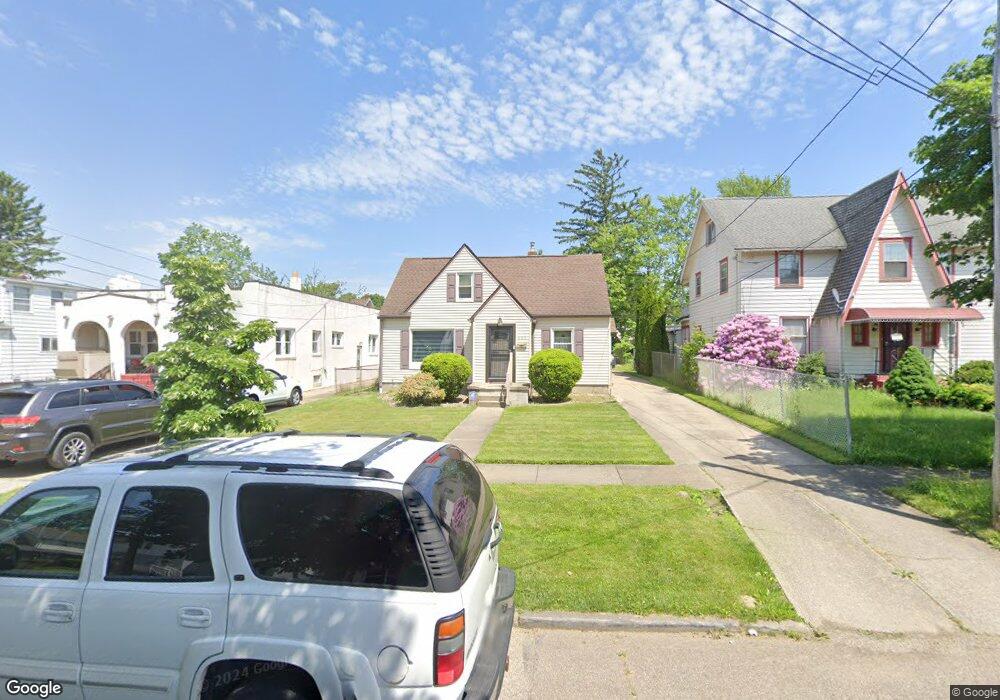
889 Winton Ave Akron, OH 44320
West Akron NeighborhoodEstimated Value: $96,979 - $132,000
2
Beds
1
Bath
796
Sq Ft
$145/Sq Ft
Est. Value
About This Home
This home is located at 889 Winton Ave, Akron, OH 44320 and is currently estimated at $115,495, approximately $145 per square foot. 889 Winton Ave is a home located in Summit County with nearby schools including Emmanuel Christian Academy and Julie Billiart School Akron.
Ownership History
Date
Name
Owned For
Owner Type
Purchase Details
Closed on
Jan 26, 2023
Sold by
Burney David L
Bought by
Burney Kimberly
Current Estimated Value
Home Financials for this Owner
Home Financials are based on the most recent Mortgage that was taken out on this home.
Original Mortgage
$112,917
Outstanding Balance
$108,859
Interest Rate
6.31%
Mortgage Type
Credit Line Revolving
Estimated Equity
$6,636
Purchase Details
Closed on
Jan 14, 2004
Sold by
Burney Lucile
Bought by
Burney David L
Home Financials for this Owner
Home Financials are based on the most recent Mortgage that was taken out on this home.
Original Mortgage
$62,400
Interest Rate
7.87%
Mortgage Type
Purchase Money Mortgage
Create a Home Valuation Report for This Property
The Home Valuation Report is an in-depth analysis detailing your home's value as well as a comparison with similar homes in the area
Home Values in the Area
Average Home Value in this Area
Purchase History
We collect this data history from publicly available records. To have your information removed, we recommend requesting removal directly through your county’s website.
| Date | Buyer | Sale Price | Title Company |
|---|---|---|---|
| Burney Kimberly | $80,000 | 2020 Title Co | |
| Burney David L | $78,000 | Cardinal Title Company |
Source: Public Records
Mortgage History
We collect this data history from publicly available records. To have your information removed, we recommend requesting removal directly through your county’s website.
| Date | Status | Borrower | Loan Amount |
|---|---|---|---|
| Open | Burney Kimberly | $112,917 | |
| Previous Owner | Burney David L | $62,400 |
Source: Public Records
Tax History
| Year | Tax Paid | Tax Assessment Tax Assessment Total Assessment is a certain percentage of the fair market value that is determined by local assessors to be the total taxable value of land and additions on the property. | Land | Improvement |
|---|---|---|---|---|
| 2025 | $1,365 | $24,829 | $6,874 | $17,955 |
| 2024 | $1,365 | $24,829 | $6,874 | $17,955 |
| 2023 | $1,365 | $24,829 | $6,874 | $17,955 |
| 2022 | $1,106 | $15,544 | $4,165 | $11,379 |
| 2021 | $1,107 | $15,544 | $4,165 | $11,379 |
| 2020 | $1,092 | $15,550 | $4,170 | $11,380 |
| 2019 | $1,161 | $15,110 | $5,390 | $9,720 |
| 2018 | $1,146 | $15,110 | $5,390 | $9,720 |
| 2017 | $1,176 | $15,110 | $5,390 | $9,720 |
| 2016 | $1,177 | $15,290 | $5,390 | $9,900 |
| 2015 | $1,176 | $15,290 | $5,390 | $9,900 |
| 2014 | $1,167 | $15,290 | $5,390 | $9,900 |
| 2013 | $1,333 | $18,040 | $5,390 | $12,650 |
Source: Public Records
Map
Nearby Homes
- 942 Winton Ave
- 934 Packard Dr
- 860 Mercer Ave
- 1043 Slosson St
- 826 Dover Ave
- 994 Peerless Ave
- 687 Moreley Ave
- 671 Moreley Ave
- 1090 Greenwood Ave
- 459 Noah Ave
- 600 Grace Ave
- 1088 Packard Dr
- 617 Moreley Ave
- 431 Noah Ave
- 549 Bacon Ave
- VL Mercer Ave
- 379 Noah Ave
- 1161 Diagonal Rd
- 593 Mineola Ave
- 338 Noah Ave
Your Personal Tour Guide
Ask me questions while you tour the home.