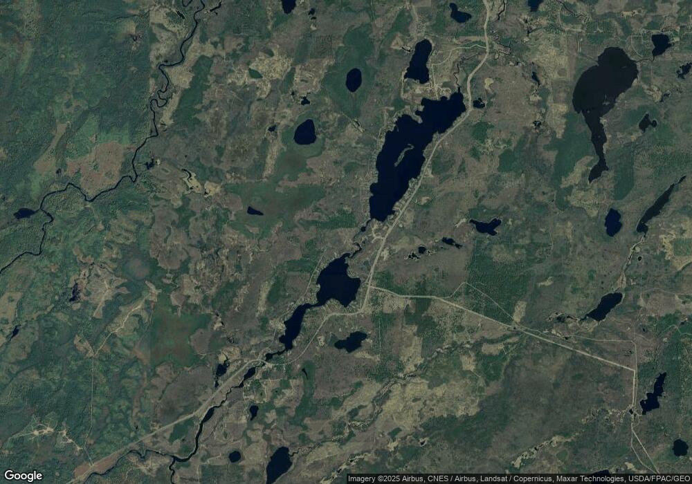
8894 W Branch Rd Duluth, MN 55803
Estimated Value: $365,000 - $437,000
2
Beds
1
Bath
1,028
Sq Ft
$388/Sq Ft
Est. Value
About This Home
This home is located at 8894 W Branch Rd, Duluth, MN 55803 and is currently estimated at $398,388, approximately $387 per square foot. 8894 W Branch Rd is a home located in St. Louis County with nearby schools including Minnehaha Elementary School and Two Harbors Secondary.
Ownership History
Date
Name
Owned For
Owner Type
Purchase Details
Closed on
Feb 2, 2007
Sold by
Johnson Warren W and Johnson Aileen M
Bought by
Johnson Mitchell W and Johnson Vicki L
Current Estimated Value
Purchase Details
Closed on
Jun 28, 2001
Sold by
Johnson Warren W and Johnson Aileen M
Bought by
Johnson Warren W and Johnson Aileen M
Create a Home Valuation Report for This Property
The Home Valuation Report is an in-depth analysis detailing your home's value as well as a comparison with similar homes in the area
Home Values in the Area
Average Home Value in this Area
Purchase History
| Date | Buyer | Sale Price | Title Company |
|---|---|---|---|
| Johnson Mitchell W | $225,000 | Pioneer Abstract & Title Of | |
| Johnson Mitchell W | $225,000 | Pioneer | |
| Johnson Warren W | -- | -- |
Source: Public Records
Mortgage History
| Date | Status | Borrower | Loan Amount |
|---|---|---|---|
| Closed | Johnson Mitchell W | $0 |
Source: Public Records
Tax History Compared to Growth
Tax History
| Year | Tax Paid | Tax Assessment Tax Assessment Total Assessment is a certain percentage of the fair market value that is determined by local assessors to be the total taxable value of land and additions on the property. | Land | Improvement |
|---|---|---|---|---|
| 2024 | $2,778 | $317,900 | $137,800 | $180,100 |
| 2023 | $2,778 | $289,600 | $125,800 | $163,800 |
| 2022 | $2,836 | $276,700 | $120,300 | $156,400 |
| 2021 | $2,600 | $257,600 | $116,000 | $141,600 |
| 2020 | $2,664 | $241,200 | $114,000 | $127,200 |
| 2019 | $2,572 | $241,200 | $114,000 | $127,200 |
| 2018 | $2,608 | $236,700 | $114,000 | $122,700 |
| 2017 | $2,608 | $236,800 | $114,100 | $122,700 |
| 2016 | $2,256 | $236,800 | $114,100 | $122,700 |
| 2015 | $2,256 | $215,000 | $116,400 | $98,600 |
| 2014 | $2,256 | $202,500 | $116,400 | $86,100 |
Source: Public Records
Map
Nearby Homes
- 904x Pequaywan Lake Rd Unit N2
- 904x Pequaywan Lake Rd Unit N3
- 904x Pequaywan Lake Rd
- 904x Pequaywan Lake Rd Unit N4
- 1581 Stone Lake Bridge Rd
- 3387 Drummond Grade
- 3451 Drummond Grade
- TBD E Briar Lake Dr
- 446 Stewart Lake Rd
- 3xxx Needle Ln Unit PARCEL C
- 3xxx Needle Ln Unit PARCEL A
- 3xxx Needle Ln Unit PARCEL D
- 4184 Bergstrom Rd
- 1080 Wales Rd Unit 120 Acres South Side
- 1025 Wales Rd Unit 80 Acres North Side
- XX Olson Rd
- 1229 W Knife River Rd
- 1735 Hwy 12
- 1735 Highway 12
- 2260 Highway 44
- 8890 W Branch Rd
- 8888 W Branch Rd
- 8898 W Branch Rd
- 2266 E Shore Rd
- 2260 E Shore Rd
- 2268 E Shore Rd
- 8886 W Branch Rd
- 8900 W Branch Rd
- 2256 E Shore Rd
- 2246 E Shore Rd
- 2252 E Shore Rd
- 2242 E Shore Rd
- 8884 W Branch Rd
- 2272 E Shore Rd
- 2276 E Shore Rd
- 2276 E Shore Rd
- 8910 W Branch Rd
- 8902 W Branch Rd
- 8874 W Branch
- 8874 W Branch Rd
