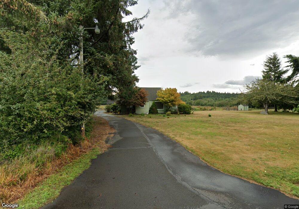
88987 Dellmoor Loop Warrenton, OR 97146
Estimated Value: $627,053 - $867,000
3
Beds
2
Baths
1,682
Sq Ft
$447/Sq Ft
Est. Value
About This Home
This home is located at 88987 Dellmoor Loop, Warrenton, OR 97146 and is currently estimated at $752,513, approximately $447 per square foot. 88987 Dellmoor Loop is a home located in Clatsop County with nearby schools including Seaside High School.
Ownership History
Date
Name
Owned For
Owner Type
Purchase Details
Closed on
Apr 28, 2015
Sold by
Whannell Robert B and Whannell Sally M
Bought by
Bogh Daniel J and Bogh Trinda L
Current Estimated Value
Home Financials for this Owner
Home Financials are based on the most recent Mortgage that was taken out on this home.
Original Mortgage
$250,000
Outstanding Balance
$192,940
Interest Rate
3.73%
Mortgage Type
New Conventional
Estimated Equity
$559,573
Create a Home Valuation Report for This Property
The Home Valuation Report is an in-depth analysis detailing your home's value as well as a comparison with similar homes in the area
Home Values in the Area
Average Home Value in this Area
Purchase History
| Date | Buyer | Sale Price | Title Company |
|---|---|---|---|
| Bogh Daniel J | $350,000 | Pacific Title Company |
Source: Public Records
Mortgage History
| Date | Status | Borrower | Loan Amount |
|---|---|---|---|
| Open | Bogh Daniel J | $250,000 |
Source: Public Records
Tax History Compared to Growth
Tax History
| Year | Tax Paid | Tax Assessment Tax Assessment Total Assessment is a certain percentage of the fair market value that is determined by local assessors to be the total taxable value of land and additions on the property. | Land | Improvement |
|---|---|---|---|---|
| 2024 | $3,618 | $283,801 | -- | -- |
| 2023 | $3,507 | $275,630 | $0 | $0 |
| 2022 | $3,419 | $267,732 | $0 | $0 |
| 2021 | $3,347 | $260,197 | $0 | $0 |
| 2020 | $3,267 | $252,763 | $0 | $0 |
| 2019 | $3,127 | $245,754 | $0 | $0 |
| 2018 | $3,050 | $236,938 | $0 | $0 |
| 2017 | $2,855 | $231,440 | $0 | $0 |
| 2016 | $2,247 | $204,576 | $39,728 | $164,848 |
| 2015 | $2,045 | $184,284 | $38,688 | $145,596 |
Source: Public Records
Map
Nearby Homes
- 80654 Polo Ridge Rd
- 0 Dellmoor Loop
- 000 Dellmoor Loop
- 80654 Polo Ridge Rd
- 88790 Dawson Rd
- 88769 Teal Rd
- 33467 SW Old Pine Dr
- 89062 Pinehurst Rd
- 89026 Ocean Dr
- 88902 Pinehurst Rd
- 89185 Pinehurst Rd
- 88724 Schroeder Rd
- 2998 Pine Ct
- 5399 Drummond Dr
- 88708 Surfsands Rd
- 568 Browning Ln
- 5270 High Ridge Rd
- 0 Seales Rd
- 88952 Dellmoor Loop
- 88953 Dellmoor Loop
- 89052 Dellmoor Loop
- 88857 Dellmoor Loop
- 88855 Dellmoor Loop
- 88855 Dellmoor Loop
- 88853 Dellmoor Loop
- 89111 Dellmoor Loop
- 88854 Dellmoor Loop
- 89123 Dellmoor Loop
- 89177 Highway 101
- 89103 Short Rd
- 33615 Carlson Rd
- 89163 Dellmoor Loop
- 89163 Dellmoor Loop
- 33613 Colcourt Ln
- 33587 Toyas Ln
- 89164 Dellmoor Loop
- 89473 Katie Ct
- 89473 Katie Ct