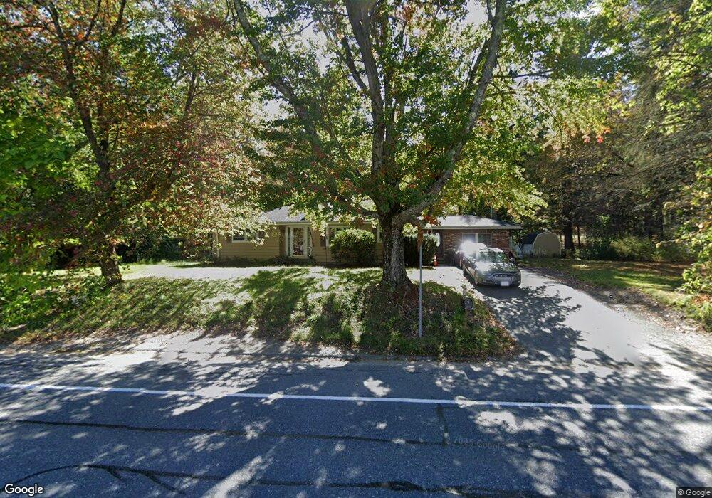
89 Clinton Rd Sterling, MA 01564
Estimated Value: $482,000 - $531,000
3
Beds
1
Bath
1,800
Sq Ft
$285/Sq Ft
Est. Value
About This Home
This home is located at 89 Clinton Rd, Sterling, MA 01564 and is currently estimated at $513,407, approximately $285 per square foot. 89 Clinton Rd is a home located in Worcester County with nearby schools including Wachusett Regional High School and South Lancaster Academy.
Ownership History
Date
Name
Owned For
Owner Type
Purchase Details
Closed on
Oct 20, 2006
Sold by
Leka Albert and Cacollari Eliamonda
Bought by
Canali Damien T
Current Estimated Value
Home Financials for this Owner
Home Financials are based on the most recent Mortgage that was taken out on this home.
Original Mortgage
$294,192
Outstanding Balance
$175,841
Interest Rate
6.49%
Mortgage Type
VA
Estimated Equity
$337,566
Purchase Details
Closed on
Jul 23, 2004
Sold by
Vanasse Cynthia J
Bought by
Leka Albert
Create a Home Valuation Report for This Property
The Home Valuation Report is an in-depth analysis detailing your home's value as well as a comparison with similar homes in the area
Home Values in the Area
Average Home Value in this Area
Purchase History
| Date | Buyer | Sale Price | Title Company |
|---|---|---|---|
| Canali Damien T | $288,000 | -- | |
| Leka Albert | $252,000 | -- |
Source: Public Records
Mortgage History
| Date | Status | Borrower | Loan Amount |
|---|---|---|---|
| Open | Canali Damien T | $294,192 |
Source: Public Records
Tax History
| Year | Tax Paid | Tax Assessment Tax Assessment Total Assessment is a certain percentage of the fair market value that is determined by local assessors to be the total taxable value of land and additions on the property. | Land | Improvement |
|---|---|---|---|---|
| 2025 | $5,462 | $424,100 | $136,500 | $287,600 |
| 2024 | $5,272 | $396,100 | $136,500 | $259,600 |
| 2023 | $5,097 | $356,400 | $138,500 | $217,900 |
| 2022 | $4,923 | $322,800 | $119,200 | $203,600 |
| 2021 | $698 | $272,600 | $116,900 | $155,700 |
| 2020 | $9,341 | $261,900 | $114,300 | $147,600 |
| 2019 | $4,390 | $254,200 | $114,300 | $139,900 |
| 2018 | $4,036 | $230,100 | $112,400 | $117,700 |
| 2017 | $3,986 | $221,100 | $107,800 | $113,300 |
| 2016 | $3,996 | $218,000 | $107,800 | $110,200 |
| 2015 | $3,835 | $221,800 | $119,700 | $102,100 |
| 2014 | $3,731 | $220,400 | $119,700 | $100,700 |
Source: Public Records
Map
Nearby Homes
- 96 Clinton Rd
- 6A Patriots Way Unit 37
- 134 Leominster Rd
- 121 &125 Flanagan Hill Rd
- 2 Turtle Ln Unit 2
- 5 Pine Woods Ln
- 1116 George Hill Rd
- 54 S Meadow Rd
- 15 N Cove Rd
- 37 Sterling St
- 4 Jewett Rd Unit B
- 4 Jewett Rd Unit A
- 18 Highfield Dr
- 11 Millie's Way Unit 11
- 20 Willow St
- 0 Parker Rd
- 73 Prescott St
- 51 Rigby St
- 5 Catherine St
- 76 Mill St Unit 3
- 95 Clinton Rd Unit B
- 95 Clinton Rd
- 95 Clinton Rd Unit 2
- 95 Clinton Rd
- 95 Clinton Rd Unit A
- 94 Clinton Rd
- 85 Clinton Rd
- 90 Clinton Rd
- 88 Clinton Rd
- 86 Clinton Rd
- 81 Clinton Rd
- 84 Clinton Rd
- 79 Clinton Rd
- 100 Clinton Rd
- 107 Clinton Rd
- 80 Clinton Rd
- 111 Clinton Rd Unit 111
- 109 Clinton Rd Unit 1
- 109 Clinton Rd
- 111 Clinton Rd
Your Personal Tour Guide
Ask me questions while you tour the home.