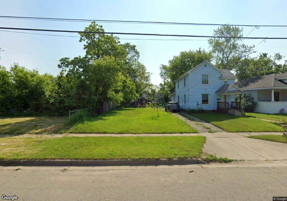
89 Euclid St Battle Creek, MI 49014
Post Franklin NeighborhoodEstimated Value: $85,000 - $121,000
4
Beds
2
Baths
2,352
Sq Ft
$42/Sq Ft
Est. Value
About This Home
This home is located at 89 Euclid St, Battle Creek, MI 49014 and is currently estimated at $99,333, approximately $42 per square foot. 89 Euclid St is a home located in Calhoun County with nearby schools including Post-Franklin Elementary School, Springfield Middle School, and Battle Creek Central High School.
Ownership History
Date
Name
Owned For
Owner Type
Purchase Details
Closed on
Jun 23, 2016
Sold by
Calhoun Country Land Bank Authority
Bought by
Hoxie Stan and Hoxie Mary
Current Estimated Value
Purchase Details
Closed on
Dec 16, 2014
Sold by
Calhoun County Treasurer
Bought by
Calhoun County Land Bank Authority
Purchase Details
Closed on
Jul 12, 2013
Sold by
Green Antonio
Bought by
Rengel Ramon
Purchase Details
Closed on
Nov 15, 2012
Sold by
Bule Aaron
Bought by
Green Antonio
Purchase Details
Closed on
Oct 26, 2011
Sold by
Calhoun County Treasurer
Bought by
Buie Aaron
Purchase Details
Closed on
Sep 23, 2002
Bought by
Gausman,Tony/Brownsea Island Llc
Purchase Details
Closed on
Jul 30, 2002
Sold by
Notice Judgment Foreclosure
Bought by
State Of Michigan
Create a Home Valuation Report for This Property
The Home Valuation Report is an in-depth analysis detailing your home's value as well as a comparison with similar homes in the area
Home Values in the Area
Average Home Value in this Area
Purchase History
| Date | Buyer | Sale Price | Title Company |
|---|---|---|---|
| Hoxie Stan | -- | None Available | |
| Calhoun County Land Bank Authority | -- | None Available | |
| Rengel Ramon | $2,500 | None Available | |
| Green Antonio | $500 | None Available | |
| Buie Aaron | $850 | None Available | |
| Gausman,Tony/Brownsea Island Llc | $26,700 | -- | |
| State Of Michigan | -- | -- |
Source: Public Records
Tax History Compared to Growth
Tax History
| Year | Tax Paid | Tax Assessment Tax Assessment Total Assessment is a certain percentage of the fair market value that is determined by local assessors to be the total taxable value of land and additions on the property. | Land | Improvement |
|---|---|---|---|---|
| 2025 | -- | $1,700 | $0 | $0 |
| 2024 | $12 | $1,275 | $0 | $0 |
| 2023 | $13 | $850 | $0 | $0 |
| 2022 | $11 | $595 | $0 | $0 |
| 2021 | $13 | $510 | $0 | $0 |
| 2020 | $12 | $425 | $0 | $0 |
| 2019 | $12 | $340 | $0 | $0 |
| 2018 | $12 | $340 | $340 | $0 |
| 2017 | -- | $255 | $0 | $0 |
| 2016 | -- | $1,638 | $0 | $0 |
| 2015 | $1,608 | $1,638 | $1,638 | $0 |
| 2014 | $1,608 | $22,337 | $1,638 | $20,699 |
Source: Public Records
Map
Nearby Homes