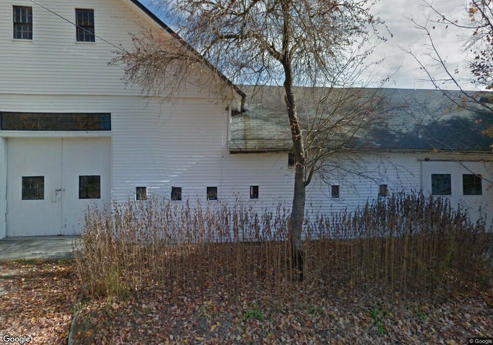
89 High St Hancock, NH 03449
Estimated Value: $337,000 - $448,000
1
Bed
1
Bath
874
Sq Ft
$455/Sq Ft
Est. Value
About This Home
This home is located at 89 High St, Hancock, NH 03449 and is currently estimated at $397,870, approximately $455 per square foot. 89 High St is a home with nearby schools including Hancock Elementary School, Great Brook School, and Conval Regional High School.
Create a Home Valuation Report for This Property
The Home Valuation Report is an in-depth analysis detailing your home's value as well as a comparison with similar homes in the area
Home Values in the Area
Average Home Value in this Area
Tax History
| Year | Tax Paid | Tax Assessment Tax Assessment Total Assessment is a certain percentage of the fair market value that is determined by local assessors to be the total taxable value of land and additions on the property. | Land | Improvement |
|---|---|---|---|---|
| 2024 | $7,188 | $286,242 | $158,842 | $127,400 |
| 2023 | $6,913 | $286,242 | $158,842 | $127,400 |
| 2022 | $6,300 | $288,863 | $161,463 | $127,400 |
| 2020 | $6,934 | $264,448 | $134,648 | $129,800 |
| 2019 | $6,505 | $264,448 | $134,648 | $129,800 |
| 2018 | $6,233 | $264,448 | $134,648 | $129,800 |
| 2016 | $6,190 | $267,863 | $135,263 | $132,600 |
| 2015 | $5,980 | $269,482 | $135,282 | $134,200 |
| 2014 | $6,042 | $269,740 | $135,540 | $134,200 |
| 2012 | $5,605 | $269,463 | $167,600 | $101,863 |
Source: Public Records
Map
Nearby Homes
- 31 Bible Hill Rd
- 10 Old Stagecoach Rd
- 8 Main St
- 31 Moose Brook Ln
- 44 Buttercup Ln
- 13 Elm St
- 25 Halcyon Place
- 237 N Bennington Rd
- 38 Main St
- 7 Spring Hill Rd
- 137 Muzzy Hill Rd
- 166 Prospect Hill Rd
- Lot R11-11-1 Forest Rd
- 0 Craig Rd Unit 3 5046605
- 29 Bonds Corner Rd
- 576 Francestown Rd Unit D5
- 0 Cavender Rd Unit 5
- 00 Middle Rd Unit 13, 13A, 13B
- 1388 Forest Rd
- 265 Smith Rd
Your Personal Tour Guide
Ask me questions while you tour the home.