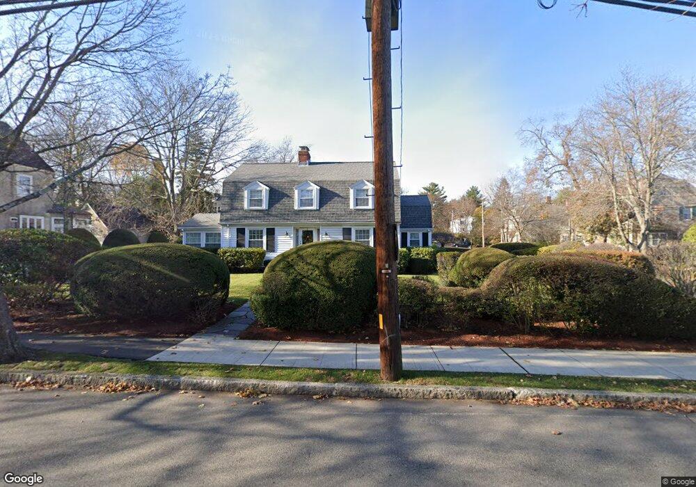
89 Jason St Arlington, MA 02476
Arlington Center NeighborhoodEstimated Value: $1,447,000 - $1,721,000
3
Beds
2
Baths
2,078
Sq Ft
$762/Sq Ft
Est. Value
About This Home
This home is located at 89 Jason St, Arlington, MA 02476 and is currently estimated at $1,584,256, approximately $762 per square foot. 89 Jason St is a home located in Middlesex County with nearby schools including Brackett Elementary School, Bishop Elementary School, and Ottoson Middle School.
Ownership History
Date
Name
Owned For
Owner Type
Purchase Details
Closed on
May 30, 2018
Sold by
Lally C Rita
Bought by
Catherine Rita Lally I and Catherine Lally
Current Estimated Value
Purchase Details
Closed on
Oct 27, 2000
Sold by
Morris Gertrude F Est and Sullivan
Bought by
Lally John H and Lally Rita C
Home Financials for this Owner
Home Financials are based on the most recent Mortgage that was taken out on this home.
Original Mortgage
$150,000
Interest Rate
7.83%
Mortgage Type
Purchase Money Mortgage
Create a Home Valuation Report for This Property
The Home Valuation Report is an in-depth analysis detailing your home's value as well as a comparison with similar homes in the area
Home Values in the Area
Average Home Value in this Area
Purchase History
| Date | Buyer | Sale Price | Title Company |
|---|---|---|---|
| Catherine Rita Lally I | -- | -- | |
| Lally John H | $500,000 | -- |
Source: Public Records
Mortgage History
| Date | Status | Borrower | Loan Amount |
|---|---|---|---|
| Previous Owner | Lally John H | $150,000 |
Source: Public Records
Tax History Compared to Growth
Tax History
| Year | Tax Paid | Tax Assessment Tax Assessment Total Assessment is a certain percentage of the fair market value that is determined by local assessors to be the total taxable value of land and additions on the property. | Land | Improvement |
|---|---|---|---|---|
| 2025 | $14,727 | $1,367,400 | $792,000 | $575,400 |
| 2024 | $13,799 | $1,303,000 | $763,200 | $539,800 |
| 2023 | $13,386 | $1,194,100 | $698,400 | $495,700 |
| 2022 | $12,555 | $1,099,400 | $648,000 | $451,400 |
| 2021 | $12,320 | $1,086,400 | $648,000 | $438,400 |
| 2020 | $12,011 | $1,086,000 | $648,000 | $438,000 |
| 2019 | $11,475 | $1,019,100 | $684,000 | $335,100 |
| 2018 | $10,178 | $839,100 | $504,000 | $335,100 |
| 2017 | $10,268 | $817,500 | $482,400 | $335,100 |
| 2016 | $10,003 | $781,500 | $446,400 | $335,100 |
| 2015 | $9,509 | $701,800 | $374,400 | $327,400 |
Source: Public Records
Map
Nearby Homes
- 36 Churchill Ave Unit 1
- 10 Plymouth St Unit 10
- 7 Mill St Unit 7
- 53 Highland Ave
- 39 Newport St
- 7 Court Street Place Unit 7
- 975 Mass Ave Unit 106
- 975 Massachusetts Ave Unit 307
- 995 Massachusetts Ave Unit 404
- 3 Victoria Rd Unit 3
- 3 Victoria Rd Unit 5
- 242 Claflin St
- 34 Hamilton Rd Unit 302
- 52-56 Dudley St
- 1025 Massachusetts Ave Unit 204
- 204 Plan at Majestic Mill Brook
- 1025 Massachusetts Ave Unit 404
- 1025 Massachusetts Ave Unit 506
- 1025 Massachusetts Ave Unit 401
- 1025 Massachusetts Ave Unit 210