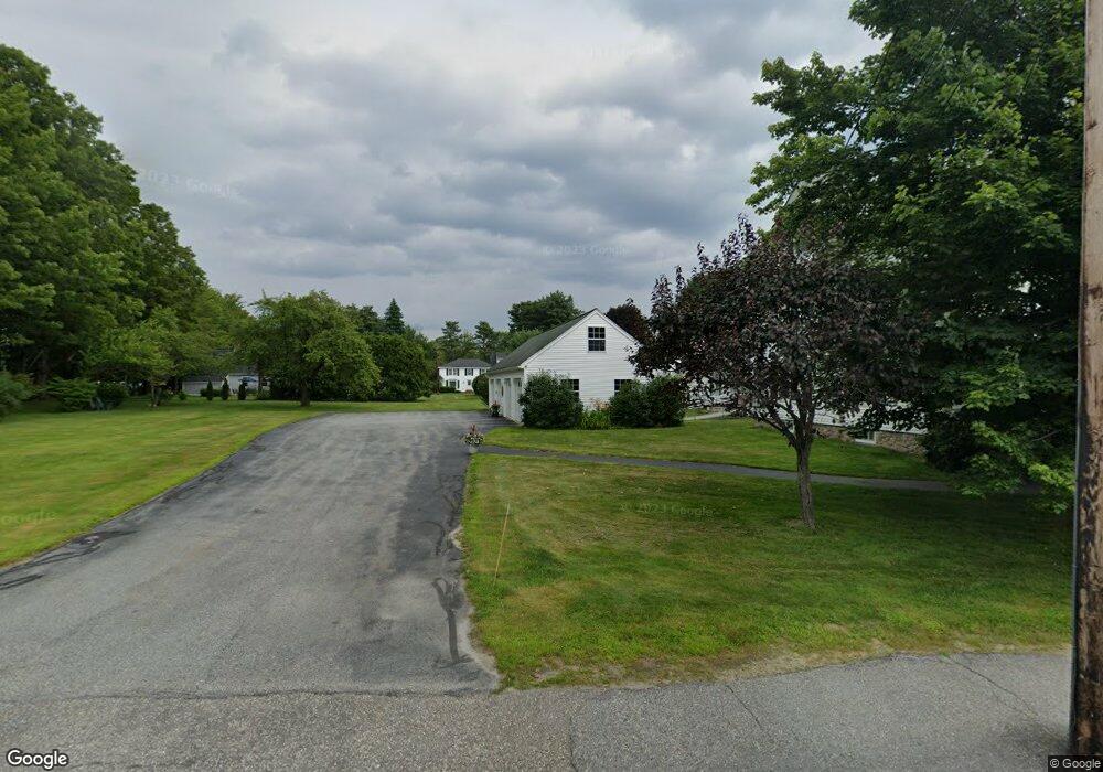
89 Main St Unit 4 New London, NH 03257
Estimated Value: $296,000 - $302,984
2
Beds
1
Bath
1,008
Sq Ft
$297/Sq Ft
Est. Value
About This Home
This home is located at 89 Main St Unit 4, New London, NH 03257 and is currently estimated at $299,246, approximately $296 per square foot. 89 Main St Unit 4 is a home located in Merrimack County with nearby schools including Kearsarge Elementary School - New London, Kearsarge Regional Middle School, and Kearsarge Regional High School.
Ownership History
Date
Name
Owned For
Owner Type
Purchase Details
Closed on
Aug 30, 2023
Sold by
Kuechenmeister Mary K and Weathers Niel F
Bought by
Gosselin Diane
Current Estimated Value
Home Financials for this Owner
Home Financials are based on the most recent Mortgage that was taken out on this home.
Original Mortgage
$247,000
Outstanding Balance
$241,097
Interest Rate
6.78%
Mortgage Type
Purchase Money Mortgage
Estimated Equity
$58,149
Purchase Details
Closed on
Aug 18, 2006
Sold by
Barton Condos Llc
Bought by
Weathers Niel F
Home Financials for this Owner
Home Financials are based on the most recent Mortgage that was taken out on this home.
Original Mortgage
$117,000
Interest Rate
6.88%
Mortgage Type
Purchase Money Mortgage
Create a Home Valuation Report for This Property
The Home Valuation Report is an in-depth analysis detailing your home's value as well as a comparison with similar homes in the area
Home Values in the Area
Average Home Value in this Area
Purchase History
| Date | Buyer | Sale Price | Title Company |
|---|---|---|---|
| Gosselin Diane | $260,000 | None Available | |
| Weathers Niel F | $160,000 | -- |
Source: Public Records
Mortgage History
| Date | Status | Borrower | Loan Amount |
|---|---|---|---|
| Open | Gosselin Diane | $247,000 | |
| Previous Owner | Weathers Niel F | $45,000 | |
| Previous Owner | Weathers Niel F | $117,000 |
Source: Public Records
Tax History Compared to Growth
Tax History
| Year | Tax Paid | Tax Assessment Tax Assessment Total Assessment is a certain percentage of the fair market value that is determined by local assessors to be the total taxable value of land and additions on the property. | Land | Improvement |
|---|---|---|---|---|
| 2024 | $3,064 | $263,900 | $0 | $263,900 |
| 2023 | $2,853 | $263,900 | $0 | $263,900 |
| 2022 | $2,263 | $142,700 | $0 | $142,700 |
| 2021 | $2,081 | $135,200 | $0 | $135,200 |
| 2020 | $2,020 | $135,200 | $0 | $135,200 |
| 2019 | $1,989 | $135,200 | $0 | $135,200 |
| 2018 | $2,047 | $130,300 | $0 | $130,300 |
| 2017 | $2,086 | $130,300 | $0 | $130,300 |
| 2016 | $2,042 | $130,300 | $0 | $130,300 |
| 2015 | $2,013 | $130,300 | $0 | $130,300 |
| 2014 | $1,995 | $130,300 | $0 | $130,300 |
| 2013 | $2,139 | $142,100 | $0 | $142,100 |
Source: Public Records
Map
Nearby Homes
- 0 Newport Rd Unit 10
- 27 Pipers Glen
- 10 Highland Ridge Rd
- 71 Hilltop Place
- 195 Pine Hill Rd
- 712 Sugarhouse Rd
- 106-23 Fieldstone Ln
- 385 Seamans Rd
- 158 Quail Run
- 58 Kearsarge Rd
- 000 Farwell Ln Unit 17
- 273 Forest Acres Rd
- 295 Andover Rd
- 0 Little Lake Sunapee Rd Unit 40 4989636
- 000 Shaker Rd Unit 288
- 26 Otterville Rd
- 617 & 619 Route 103a Map 91 Lot 37 38
- 0 Summit Rd Unit 431
- 0 Fairway Ln Unit 8
- 155 Wilder Ln