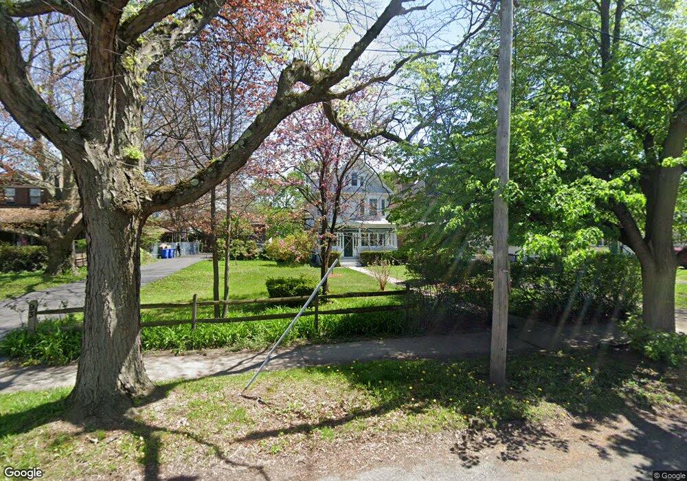
89 Manning Blvd Albany, NY 12203
Pine Hills NeighborhoodEstimated Value: $273,000 - $354,000
4
Beds
2
Baths
1,718
Sq Ft
$176/Sq Ft
Est. Value
About This Home
This home is located at 89 Manning Blvd, Albany, NY 12203 and is currently estimated at $303,075, approximately $176 per square foot. 89 Manning Blvd is a home located in Albany County with nearby schools including Pine Hills Elementary School, Stephen And Harriet Myers Middle School, and Albany High School.
Ownership History
Date
Name
Owned For
Owner Type
Purchase Details
Closed on
Dec 29, 2025
Sold by
Irving Richard D
Bought by
Kushner Ayal Avraham
Current Estimated Value
Home Financials for this Owner
Home Financials are based on the most recent Mortgage that was taken out on this home.
Original Mortgage
$197,600
Outstanding Balance
$197,413
Interest Rate
6.26%
Mortgage Type
New Conventional
Estimated Equity
$105,662
Purchase Details
Closed on
Nov 21, 2001
Create a Home Valuation Report for This Property
The Home Valuation Report is an in-depth analysis detailing your home's value as well as a comparison with similar homes in the area
Home Values in the Area
Average Home Value in this Area
Purchase History
| Date | Buyer | Sale Price | Title Company |
|---|---|---|---|
| Kushner Ayal Avraham | $247,000 | Pac Abstract And Title | |
| -- | -- | -- |
Source: Public Records
Mortgage History
| Date | Status | Borrower | Loan Amount |
|---|---|---|---|
| Open | Kushner Ayal Avraham | $197,600 |
Source: Public Records
Tax History
| Year | Tax Paid | Tax Assessment Tax Assessment Total Assessment is a certain percentage of the fair market value that is determined by local assessors to be the total taxable value of land and additions on the property. | Land | Improvement |
|---|---|---|---|---|
| 2024 | $3,741 | $245,000 | $49,000 | $196,000 |
| 2023 | $4,739 | $189,000 | $37,800 | $151,200 |
| 2022 | $4,486 | $189,000 | $37,800 | $151,200 |
| 2021 | $4,434 | $189,000 | $37,800 | $151,200 |
| 2020 | $4,768 | $189,000 | $37,800 | $151,200 |
| 2019 | $5,878 | $189,000 | $37,800 | $151,200 |
| 2018 | $4,900 | $189,000 | $37,800 | $151,200 |
| 2017 | $2,687 | $189,000 | $37,800 | $151,200 |
| 2016 | $4,745 | $189,000 | $37,800 | $151,200 |
| 2015 | $4,439 | $179,900 | $36,000 | $143,900 |
| 2014 | -- | $179,900 | $36,000 | $143,900 |
Source: Public Records
Map
Nearby Homes
- 884 Lancaster St
- 84 Winthrop Ave
- 115 Homestead Ave
- 93 Homestead Ave
- 948 Washington Ave
- 950 Washington Ave
- 118 N Allen St
- 6 Manning Blvd
- 860 Washington Ave
- 959 Washington Ave
- 17 Winthrop Ave
- 13 Cleveland St
- 282 Manning Blvd
- 15 Buchanan St
- 29 S Pine Ave
- 314 Manning Blvd
- 29 Buchanan St
- 4 Marion Ave
- 75 Lincoln Ave
- 349 Manning Blvd
- 85 Manning Blvd
- 93 Manning Blvd
- 81 Manning Blvd
- 97 Manning Blvd
- 898 Lancaster St
- 77 Manning Blvd
- 896 Lancaster St
- 75 Manning Blvd
- 894 Lancaster St
- 79 Manning Blvd
- 71 Manning Blvd Unit 73
- 101 Manning Blvd
- 890 Lancaster St Unit 1
- 890 Lancaster St
- 105 Manning Blvd Unit 1
- 105 Manning Blvd
- 67 Manning Blvd
- 888 Lancaster St
- 901 Lancaster St
- 888 Lancaster St Unit Lower level
Your Personal Tour Guide
Ask me questions while you tour the home.