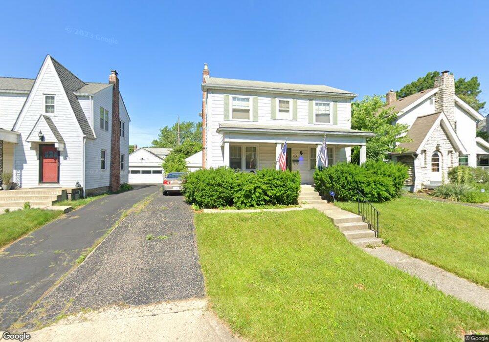
89 Powhatan Ave Columbus, OH 43204
Westgate NeighborhoodEstimated Value: $281,568 - $325,000
3
Beds
3
Baths
1,748
Sq Ft
$176/Sq Ft
Est. Value
About This Home
This home is located at 89 Powhatan Ave, Columbus, OH 43204 and is currently estimated at $307,642, approximately $175 per square foot. 89 Powhatan Ave is a home located in Franklin County with nearby schools including Westgate Alternative Elementary School, Westmoor Middle School, and West High School.
Ownership History
Date
Name
Owned For
Owner Type
Purchase Details
Closed on
Nov 27, 2006
Sold by
Wilson George F and Estate Of Howard F Wilson
Bought by
Anderson Bart R and Anderson Christine M
Current Estimated Value
Home Financials for this Owner
Home Financials are based on the most recent Mortgage that was taken out on this home.
Original Mortgage
$144,900
Outstanding Balance
$87,398
Interest Rate
6.47%
Mortgage Type
Purchase Money Mortgage
Estimated Equity
$220,244
Purchase Details
Closed on
Jul 20, 2005
Sold by
Estate Of Frances Peters Wilson
Bought by
Wilson Howard F
Create a Home Valuation Report for This Property
The Home Valuation Report is an in-depth analysis detailing your home's value as well as a comparison with similar homes in the area
Home Values in the Area
Average Home Value in this Area
Purchase History
| Date | Buyer | Sale Price | Title Company |
|---|---|---|---|
| Anderson Bart R | $144,900 | Attorney | |
| Wilson Howard F | -- | -- |
Source: Public Records
Mortgage History
| Date | Status | Borrower | Loan Amount |
|---|---|---|---|
| Open | Anderson Bart R | $144,900 |
Source: Public Records
Tax History Compared to Growth
Tax History
| Year | Tax Paid | Tax Assessment Tax Assessment Total Assessment is a certain percentage of the fair market value that is determined by local assessors to be the total taxable value of land and additions on the property. | Land | Improvement |
|---|---|---|---|---|
| 2024 | $3,858 | $85,960 | $21,630 | $64,330 |
| 2023 | $3,809 | $85,960 | $21,630 | $64,330 |
| 2022 | $3,181 | $61,330 | $8,160 | $53,170 |
| 2021 | $3,187 | $61,330 | $8,160 | $53,170 |
| 2020 | $3,191 | $61,330 | $8,160 | $53,170 |
| 2019 | $3,108 | $51,240 | $6,790 | $44,450 |
| 2018 | $2,773 | $51,240 | $6,790 | $44,450 |
| 2017 | $3,107 | $51,240 | $6,790 | $44,450 |
| 2016 | $2,692 | $40,640 | $7,740 | $32,900 |
| 2015 | $2,444 | $40,640 | $7,740 | $32,900 |
| 2014 | $2,450 | $40,640 | $7,740 | $32,900 |
| 2013 | $1,272 | $42,770 | $8,155 | $34,615 |
Source: Public Records
Map
Nearby Homes
- 79 S Southampton Ave
- 133 S Brinker Ave
- 195 S Sylvan Ave
- 43 Letchworth Ave
- 32 Orel Ave
- 36-38 Orel Ave
- 30 Demorest Rd
- 3096 Ellis Place
- 253 Powhatan Ave
- 66 N Brinker Ave
- 0 S Brinker Ave
- 267 S Westgate Ave
- 113 N Brinker Ave Unit 115
- 328 S Southampton Ave
- 119 N Westgate Ave
- 160 N Sylvan Ave
- 3100 Steele Ave
- 58 Binns Blvd
- 75 N Huron Ave
- 180 N Sylvan Ave
- 83 Powhatan Ave
- 97 Powhatan Ave
- 374/75 Powhatan Ave
- 75 Powhatan Ave
- 103 Powhatan Ave
- 98 S Sylvan Ave
- 82 S Sylvan Ave
- 69 Powhatan Ave
- 109 Powhatan Ave
- 102 S Sylvan Ave
- 76 S Sylvan Ave
- 92 Powhatan Ave
- 86 Powhatan Ave
- 98 Powhatan Ave
- 80 Powhatan Ave
- 110 S Sylvan Ave
- 70 S Sylvan Ave
- 104 Powhatan Ave
- 63 Powhatan Ave
- 72 Powhatan Ave