89 Rathbun Rd Williamstown, MA 01267
Estimated Value: $475,000 - $574,000
3
Beds
2
Baths
2,000
Sq Ft
$258/Sq Ft
Est. Value
About This Home
This home is located at 89 Rathbun Rd, Williamstown, MA 01267 and is currently estimated at $515,080, approximately $257 per square foot. 89 Rathbun Rd is a home located in Berkshire County with nearby schools including Hancock Elementary School.
Ownership History
Date
Name
Owned For
Owner Type
Purchase Details
Closed on
Jun 15, 1998
Sold by
Lytle Robert J and Lytle Christine
Bought by
Mason Toby A and Mason Shelia
Current Estimated Value
Home Financials for this Owner
Home Financials are based on the most recent Mortgage that was taken out on this home.
Original Mortgage
$111,900
Interest Rate
7.11%
Mortgage Type
Purchase Money Mortgage
Create a Home Valuation Report for This Property
The Home Valuation Report is an in-depth analysis detailing your home's value as well as a comparison with similar homes in the area
Home Values in the Area
Average Home Value in this Area
Purchase History
| Date | Buyer | Sale Price | Title Company |
|---|---|---|---|
| Mason Toby A | $139,900 | -- |
Source: Public Records
Mortgage History
| Date | Status | Borrower | Loan Amount |
|---|---|---|---|
| Open | Mason Toby A | $145,000 | |
| Closed | Mason Toby A | $111,900 |
Source: Public Records
Tax History Compared to Growth
Tax History
| Year | Tax Paid | Tax Assessment Tax Assessment Total Assessment is a certain percentage of the fair market value that is determined by local assessors to be the total taxable value of land and additions on the property. | Land | Improvement |
|---|---|---|---|---|
| 2025 | $1,152 | $428,400 | $84,200 | $344,200 |
| 2024 | $1,021 | $366,100 | $79,900 | $286,200 |
| 2023 | $855 | $319,000 | $78,300 | $240,700 |
| 2022 | $893 | $297,600 | $78,300 | $219,300 |
| 2021 | $811 | $272,100 | $78,300 | $193,800 |
| 2020 | $758 | $272,500 | $78,300 | $194,200 |
| 2019 | $865 | $259,700 | $78,300 | $181,400 |
| 2018 | $1,087 | $242,700 | $78,300 | $164,400 |
| 2017 | $715 | $243,100 | $78,300 | $164,800 |
| 2016 | $607 | $253,100 | $78,300 | $174,800 |
| 2015 | $721 | $253,800 | $80,500 | $173,300 |
Source: Public Records
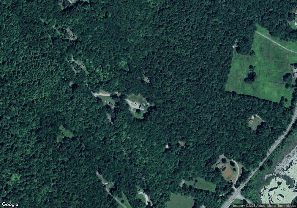
Map
Nearby Homes
- 1052 Beaver Pond Meadows
- 1044 Beaver Pond Meadows
- 271 Brodie Mountain Rd
- 213 Brodie Mountain Rd
- 11 Corey Rd
- 9201 Mountainside Dr
- 9074 Mountainside Dr
- 37 Corey Rd Unit 623
- 37 Corey Rd Unit 518
- 37 Corey Rd Unit 843
- 37 Corey Rd Unit 866
- 37 Corey Rd Unit 63
- 37 Corey Rd Unit 634
- 37 Corey Rd Unit 9061
- 37 Corey Rd Unit 73
- 37 Corey Rd Unit 526
- 37 Corey Rd Unit 862
- 37 Corey Rd Unit 212
- 775 Williamstown Rd
- L20.45 Robinson Hollow Way
- 77 Rathbun Rd
- 77 Rathbun Rd
- 33 Rathbun Rd
- 113 Rathbun Rd
- 113 Rathbun Rd
- 3105 Hancock Rd
- 28 Rathbun Rd
- 3053 Hancock Rd
- 127 Rathbun Rd
- 0 Rathbun Rd Unit 72131704
- 3047 Hancock Rd
- 3023 Hancock Rd
- 21 Rathbun Rd
- 3061 Hancock Rd
- 3095 Hancock Rd
- 135 Rathbun Rd
- 2993 Hancock Rd
- 5 Rathbun Rd
- 2993 Hancock Rd
- 2965 Hancock Rd