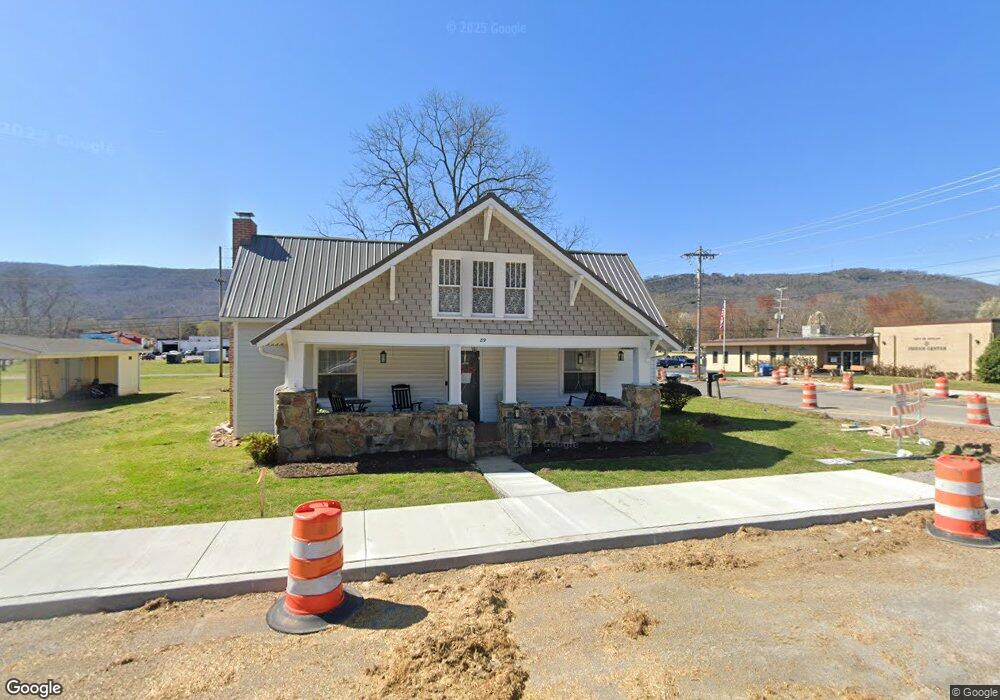
89 Spring St Dunlap, TN 37327
Estimated Value: $204,465 - $239,000
2
Beds
2
Baths
1,622
Sq Ft
$134/Sq Ft
Est. Value
About This Home
This home is located at 89 Spring St, Dunlap, TN 37327 and is currently estimated at $217,616, approximately $134 per square foot. 89 Spring St is a home located in Sequatchie County with nearby schools including Griffith Elementary School, Sequatchie County Middle School, and Sequatchie County High School.
Ownership History
Date
Name
Owned For
Owner Type
Purchase Details
Closed on
Apr 14, 2021
Sold by
Jones Allen W and Jones Laura C
Bought by
Johnson Philip O and Johnson Lisa D
Current Estimated Value
Purchase Details
Closed on
Apr 5, 2021
Sold by
Johnson Philip O and Johnson Lisa D
Bought by
City Of Dunlap
Purchase Details
Closed on
Apr 11, 2013
Sold by
Lovelace Claire Josephine
Bought by
Jones Allen W and Jones Laura
Home Financials for this Owner
Home Financials are based on the most recent Mortgage that was taken out on this home.
Original Mortgage
$68,000
Interest Rate
3.65%
Mortgage Type
Commercial
Purchase Details
Closed on
Mar 16, 2011
Sold by
Johnson Lennie Louise Bare
Bought by
Lovelace Claire Josephine John
Purchase Details
Closed on
Jun 26, 1995
Bought by
Johnson Overton M
Create a Home Valuation Report for This Property
The Home Valuation Report is an in-depth analysis detailing your home's value as well as a comparison with similar homes in the area
Home Values in the Area
Average Home Value in this Area
Purchase History
| Date | Buyer | Sale Price | Title Company |
|---|---|---|---|
| Johnson Philip O | -- | None Available | |
| City Of Dunlap | -- | None Available | |
| Jones Allen W | $85,000 | -- | |
| Lovelace Claire Josephine John | -- | -- | |
| Johnson Overton M | $2,000 | -- |
Source: Public Records
Mortgage History
| Date | Status | Borrower | Loan Amount |
|---|---|---|---|
| Previous Owner | Jones Allen W | $68,000 |
Source: Public Records
Tax History
| Year | Tax Paid | Tax Assessment Tax Assessment Total Assessment is a certain percentage of the fair market value that is determined by local assessors to be the total taxable value of land and additions on the property. | Land | Improvement |
|---|---|---|---|---|
| 2025 | $753 | $31,175 | $4,000 | $27,175 |
| 2024 | $753 | $31,175 | $4,000 | $27,175 |
| 2023 | $753 | $31,175 | $4,000 | $27,175 |
| 2022 | $671 | $20,225 | $3,000 | $17,225 |
| 2021 | $661 | $20,225 | $3,000 | $17,225 |
| 2020 | $661 | $20,225 | $3,000 | $17,225 |
| 2019 | $661 | $20,225 | $3,000 | $17,225 |
| 2018 | $654 | $20,225 | $3,000 | $17,225 |
| 2017 | $646 | $20,225 | $3,000 | $17,225 |
| 2016 | $668 | $20,050 | $3,000 | $17,050 |
| 2015 | $668 | $20,050 | $3,000 | $17,050 |
| 2014 | $668 | $20,050 | $3,000 | $17,050 |
Source: Public Records
Map
Nearby Homes
- 0 SE US Hwy 127 Unit 1519993
- 0 SE US Hwy 127 Unit 1519990
- 0 SE US Hwy 127 Unit 1519988
- 0 SE US Hwy 127 Unit 1314389
- 0 SE US Hwy 127 Unit 1519979
- 0 SE US Hwy 127 Unit 1519991
- 0 SE US Hwy 127 Unit 1519984
- 21550 U S 127
- 21552 U S 127
- 0 State Rt 399 Lot 13
- 95 A Main St
- Lot 13 B Greenfields Way
- 410 Cherry St
- 254 Cdl Trail
- 95 Blue Sky Rd Rd
- 2 Fredonia Rd
- 1 Fredonia Rd
- 3 Fredonia Rd
- 407 Standifer Cir
- Lot 36 River Ridge Dr
- 738 Cedar St
- 741 Cedar St
- 71 Spring St
- 95 Acres Side Cumberland Mountain
- 100 Buck Run Estates Rd
- 127 Spring St
- 32 Spring St
- 0 Spring St
- 55 Spring St
- 0 Cedar St
- 12 Cherry St
- 1529 Main St
- 153 Spring St
- 63 Spring St
- 309 Church St
- 84 Cherry St
- 167 Spring St
- 111 Walnut St
- 0 Rock Creek Estates
- 0 Lewis Village Fredonia
Your Personal Tour Guide
Ask me questions while you tour the home.