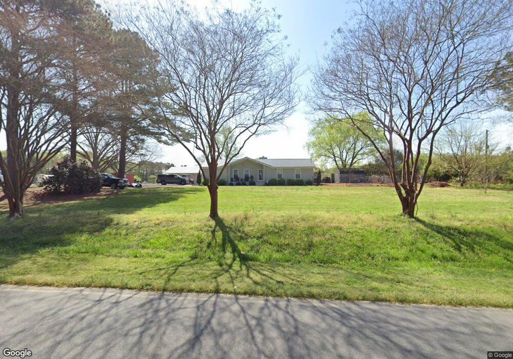
89 W Watson Rd Benson, NC 27504
Pleasant Grove NeighborhoodEstimated Value: $318,000 - $333,933
3
Beds
2
Baths
1,750
Sq Ft
$185/Sq Ft
Est. Value
About This Home
This home is located at 89 W Watson Rd, Benson, NC 27504 and is currently estimated at $323,483, approximately $184 per square foot. 89 W Watson Rd is a home located in Johnston County with nearby schools including McGee's Crossroads Elementary School, McGee's Crossroads Middle School, and West Johnston High School.
Ownership History
Date
Name
Owned For
Owner Type
Purchase Details
Closed on
Mar 31, 2017
Sold by
Wahler Cynthia
Bought by
Norris Charles Anthony and Norris Laura
Current Estimated Value
Purchase Details
Closed on
Mar 29, 2017
Sold by
Wall Patricia Lasater
Bought by
Wahler Cynthia
Purchase Details
Closed on
Apr 10, 2015
Sold by
Stephenson Cheryl Brooks
Bought by
Wahler Cynthla and Wall Patricia Lasater
Purchase Details
Closed on
May 31, 2006
Sold by
Talton Bobby D and Talton Brenda W
Bought by
Stephenson Cheryl B
Purchase Details
Closed on
Sep 30, 2004
Sold by
Talton Bobby D
Bought by
Talton Bobby D
Create a Home Valuation Report for This Property
The Home Valuation Report is an in-depth analysis detailing your home's value as well as a comparison with similar homes in the area
Home Values in the Area
Average Home Value in this Area
Purchase History
| Date | Buyer | Sale Price | Title Company |
|---|---|---|---|
| Norris Charles Anthony | $150,000 | -- | |
| Wahler Cynthia | -- | -- | |
| Wahler Cynthla | $144,000 | None Available | |
| Stephenson Cheryl B | $142,000 | None Available | |
| Talton Bobby D | -- | -- |
Source: Public Records
Tax History
| Year | Tax Paid | Tax Assessment Tax Assessment Total Assessment is a certain percentage of the fair market value that is determined by local assessors to be the total taxable value of land and additions on the property. | Land | Improvement |
|---|---|---|---|---|
| 2025 | $1,865 | $293,100 | $78,200 | $214,900 |
| 2024 | $1,331 | $163,720 | $44,690 | $119,030 |
| 2023 | $1,290 | $163,720 | $44,690 | $119,030 |
| 2022 | $1,326 | $163,720 | $44,690 | $119,030 |
| 2021 | $1,326 | $163,720 | $44,690 | $119,030 |
| 2020 | $1,375 | $163,720 | $44,690 | $119,030 |
| 2019 | $1,266 | $154,340 | $44,690 | $109,650 |
| 2018 | $1,094 | $130,290 | $30,160 | $100,130 |
| 2017 | $1,094 | $130,290 | $30,160 | $100,130 |
| 2016 | $1,094 | $130,290 | $30,160 | $100,130 |
| 2015 | $1,094 | $130,290 | $30,160 | $100,130 |
| 2014 | $1,094 | $130,290 | $30,160 | $100,130 |
Source: Public Records
Map
Nearby Homes
- 370 Sanders Rd
- 118 Willard Wood Run
- 108 Eddy Ct
- 101 White Water Ct
- 182 Pleasant Ridge Ct
- 1190 Sanders Rd
- 358 Coats Ridge Dr
- 125 Bay Meadow Ln
- 154 Winter Red Way
- 387 N Pleasant Coates Rd
- 32 Hot Springs Way
- 93 Hot Springs Way
- 59 Mineral Springs Way
- 360 Snowbell St
- 95 Mineral Springs Way
- 16 Saddle Ridge Dr
- 405 La Vista Ct
- 701 Highview Dr
- 691 Highview Dr
- 130 Daniel Farm Dr
- 89 West Watson Rd
- 0 Watson
- 113 West Watson Rd
- 41 West Watson Rd
- 155 West Watson Rd
- 355 Sanders Rd
- 86 Creekstone Dr
- 92 Creekstone Dr
- 94 Creekstone Dr
- 61 W Watson Rd
- 161 West Watson Rd
- 495 Sanders Rd
- 101 Creekstone Dr
- LOT J Sanders Rd
- LOT K Sanders Rd
- 93 Creekstone Dr
- 301 Sanders Rd
- 303 Sanders Rd
- 310 Sanders Rd
- 625 Meander Way
Your Personal Tour Guide
Ask me questions while you tour the home.