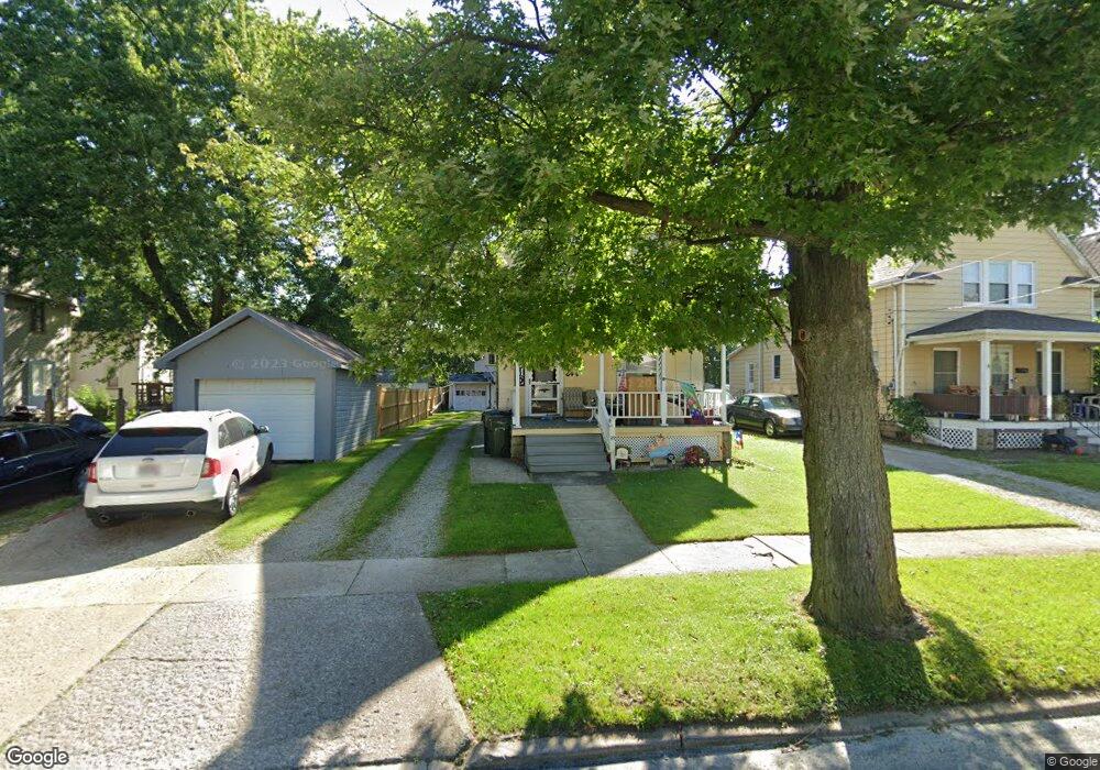
89 Williams St Elyria, OH 44035
Estimated Value: $136,000 - $152,000
4
Beds
1
Bath
1,464
Sq Ft
$97/Sq Ft
Est. Value
About This Home
This home is located at 89 Williams St, Elyria, OH 44035 and is currently estimated at $141,565, approximately $96 per square foot. 89 Williams St is a home located in Lorain County with nearby schools including Eastern Heights Middle School, Elyria High School, and Constellation Schools: Elyria Community Elementary.
Ownership History
Date
Name
Owned For
Owner Type
Purchase Details
Closed on
Jun 28, 2007
Sold by
Baker Laura K and Brown Richard E
Bought by
Moran Arthur S and Kotlan Robin K
Current Estimated Value
Home Financials for this Owner
Home Financials are based on the most recent Mortgage that was taken out on this home.
Original Mortgage
$72,500
Interest Rate
6.42%
Mortgage Type
Purchase Money Mortgage
Purchase Details
Closed on
Apr 5, 2004
Sold by
Brown Richard E and Brown Phyllis J
Bought by
Brown Richard E and The Richard E Brown Trust
Create a Home Valuation Report for This Property
The Home Valuation Report is an in-depth analysis detailing your home's value as well as a comparison with similar homes in the area
Home Values in the Area
Average Home Value in this Area
Purchase History
| Date | Buyer | Sale Price | Title Company |
|---|---|---|---|
| Moran Arthur S | $72,500 | Liberty Title Inc | |
| Brown Richard E | -- | -- |
Source: Public Records
Mortgage History
| Date | Status | Borrower | Loan Amount |
|---|---|---|---|
| Closed | Moran Arthur S | $72,500 |
Source: Public Records
Tax History
| Year | Tax Paid | Tax Assessment Tax Assessment Total Assessment is a certain percentage of the fair market value that is determined by local assessors to be the total taxable value of land and additions on the property. | Land | Improvement |
|---|---|---|---|---|
| 2024 | $1,874 | $39,592 | $4,897 | $34,696 |
| 2023 | $1,875 | $34,409 | $4,389 | $30,020 |
| 2022 | $1,868 | $34,409 | $4,389 | $30,020 |
| 2021 | $1,873 | $34,409 | $4,389 | $30,020 |
| 2020 | $1,801 | $29,440 | $3,760 | $25,680 |
| 2019 | $1,790 | $29,440 | $3,760 | $25,680 |
| 2018 | $1,567 | $29,440 | $3,760 | $25,680 |
| 2017 | $1,341 | $21,100 | $4,120 | $16,980 |
| 2016 | $1,323 | $21,100 | $4,120 | $16,980 |
| 2015 | $1,240 | $21,100 | $4,120 | $16,980 |
| 2014 | $1,212 | $20,890 | $4,080 | $16,810 |
| 2013 | $1,201 | $20,890 | $4,080 | $16,810 |
Source: Public Records
Map
Nearby Homes
Your Personal Tour Guide
Ask me questions while you tour the home.