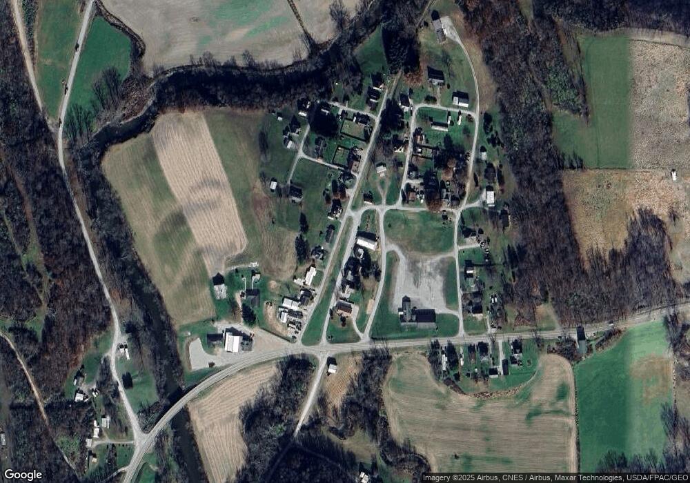
890 Becker Rd Whipple, OH 45788
Estimated Value: $181,752 - $455,000
3
Beds
2
Baths
1,478
Sq Ft
$179/Sq Ft
Est. Value
About This Home
This home is located at 890 Becker Rd, Whipple, OH 45788 and is currently estimated at $263,938, approximately $178 per square foot. 890 Becker Rd is a home with nearby schools including Fort Frye High School.
Ownership History
Date
Name
Owned For
Owner Type
Purchase Details
Closed on
Dec 14, 2015
Sold by
Erb Danielle E and Erb Gregory
Bought by
Anderson Penny J
Current Estimated Value
Home Financials for this Owner
Home Financials are based on the most recent Mortgage that was taken out on this home.
Original Mortgage
$61,750
Outstanding Balance
$48,850
Interest Rate
3.88%
Mortgage Type
New Conventional
Estimated Equity
$215,088
Purchase Details
Closed on
Mar 29, 2004
Bought by
Sayre Danielle E
Purchase Details
Closed on
Jan 2, 2001
Purchase Details
Closed on
Jul 9, 1997
Bought by
Carroll Brenda L
Create a Home Valuation Report for This Property
The Home Valuation Report is an in-depth analysis detailing your home's value as well as a comparison with similar homes in the area
Home Values in the Area
Average Home Value in this Area
Purchase History
| Date | Buyer | Sale Price | Title Company |
|---|---|---|---|
| Anderson Penny J | $65,000 | Attorney | |
| Sayre Danielle E | $36,000 | -- | |
| -- | $28,000 | -- | |
| Carroll Brenda L | $20,000 | -- |
Source: Public Records
Mortgage History
| Date | Status | Borrower | Loan Amount |
|---|---|---|---|
| Open | Anderson Penny J | $61,750 |
Source: Public Records
Tax History Compared to Growth
Tax History
| Year | Tax Paid | Tax Assessment Tax Assessment Total Assessment is a certain percentage of the fair market value that is determined by local assessors to be the total taxable value of land and additions on the property. | Land | Improvement |
|---|---|---|---|---|
| 2024 | $1,344 | $41,300 | $3,080 | $38,220 |
| 2023 | $1,344 | $41,300 | $3,080 | $38,220 |
| 2022 | $1,280 | $41,300 | $3,080 | $38,220 |
| 2021 | $1,081 | $33,520 | $3,840 | $29,680 |
| 2020 | $1,077 | $33,520 | $3,840 | $29,680 |
| 2019 | $1,080 | $33,520 | $3,840 | $29,680 |
| 2018 | $979 | $30,250 | $3,200 | $27,050 |
| 2017 | $982 | $30,250 | $3,200 | $27,050 |
| 2016 | $1,900 | $30,250 | $3,200 | $27,050 |
| 2015 | $968 | $28,600 | $3,280 | $25,320 |
| 2014 | $1,787 | $28,600 | $3,280 | $25,320 |
| 2013 | $485 | $28,600 | $3,280 | $25,320 |
Source: Public Records
Map
Nearby Homes
- 50 & 60 Railroad St
- 9865 State Route 821
- 0 Stanleyville Rd
- 65 Warner Second St
- 3275 Highland Ridge Rd
- 2800 Tick Ridge Rd
- 0 Highland Ridge Rd
- Lot 4 Moss Run Rd
- 2115 Goss Fork Rd
- 200 Frakes Rd
- 1 Brooks Ln
- 2585 Glendale Rd
- 101 Winters Dr
- 4 Moss Run Rd
- 4595 Ohio 530
- 0 Moss Run Rd
- 0 Highland Ridge Rd
- 123 Deerwalk Cir
- 107 Country Meadow Dr
- 126 Sylvan Way
