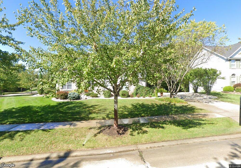
890 Cypress Trail O Fallon, MO 63368
Estimated Value: $546,000 - $658,000
4
Beds
5
Baths
2,866
Sq Ft
$207/Sq Ft
Est. Value
About This Home
This home is located at 890 Cypress Trail, O Fallon, MO 63368 and is currently estimated at $594,020, approximately $207 per square foot. 890 Cypress Trail is a home located in St. Charles County with nearby schools including Crossroads Elementary School, Frontier Middle School, and Liberty High School.
Ownership History
Date
Name
Owned For
Owner Type
Purchase Details
Closed on
Jul 26, 2013
Sold by
Burke Linda K
Bought by
Bahr Joshua G and Bahr Karry L
Current Estimated Value
Home Financials for this Owner
Home Financials are based on the most recent Mortgage that was taken out on this home.
Original Mortgage
$265,050
Outstanding Balance
$192,678
Interest Rate
3.99%
Mortgage Type
New Conventional
Estimated Equity
$401,342
Purchase Details
Closed on
Dec 6, 1999
Sold by
The Jones Company Custom Homes Inc
Bought by
Burke Michael C and Burke Linda A
Create a Home Valuation Report for This Property
The Home Valuation Report is an in-depth analysis detailing your home's value as well as a comparison with similar homes in the area
Home Values in the Area
Average Home Value in this Area
Purchase History
| Date | Buyer | Sale Price | Title Company |
|---|---|---|---|
| Bahr Joshua G | $342,000 | Ust | |
| Burke Michael C | -- | -- | |
| Burke Michael C | -- | -- |
Source: Public Records
Mortgage History
| Date | Status | Borrower | Loan Amount |
|---|---|---|---|
| Open | Bahr Joshua G | $265,050 |
Source: Public Records
Tax History
| Year | Tax Paid | Tax Assessment Tax Assessment Total Assessment is a certain percentage of the fair market value that is determined by local assessors to be the total taxable value of land and additions on the property. | Land | Improvement |
|---|---|---|---|---|
| 2025 | $6,188 | $100,122 | -- | -- |
| 2023 | $6,194 | $90,661 | $0 | $0 |
| 2022 | $6,237 | $85,175 | $0 | $0 |
| 2021 | $6,251 | $85,175 | $0 | $0 |
| 2020 | $5,587 | $73,069 | $0 | $0 |
| 2019 | $5,244 | $73,069 | $0 | $0 |
| 2018 | $5,131 | $68,031 | $0 | $0 |
| 2017 | $5,104 | $68,031 | $0 | $0 |
| 2016 | $4,930 | $63,039 | $0 | $0 |
| 2015 | $4,857 | $63,039 | $0 | $0 |
| 2014 | $4,451 | $61,954 | $0 | $0 |
Source: Public Records
Map
Nearby Homes
- 769 Cypress Knoll Dr
- 112 Wake Forest Place
- 624 Hawk Run Dr
- 131 Wake Forest Place
- 702 Balcarra Dr
- 350 Falcon Hill Dr
- 149 Bayhill Village Dr
- 158 Bayhill Village Dr
- 161 Bayhill Village Dr
- 2132 Bates Rd
- 7839 Town Square Ave
- 7817 Town Square Ave
- 344 Royal Dornoch Ct
- 139 Alta Mira Ct
- 961 Promenade Ct
- 0 Braxton @ Cedarstone Unit MAR24063663
- 0 Lancaster @ Cedarstone Unit MAR24063683
- 0 Universal Design @ Cedarstone Unit MAR24063686
- 0 Chesapeake @ Cedarstone Unit MAR24063701
- 0 Bridgeport @ Cedarstone Unit MAR24063669
- 892 Cypress Trail
- 785 Cypress Knoll Dr
- 891 Cypress Trail
- 889 Cypress Trail
- 778 Cypress Knoll Dr
- 893 Cypress Trail
- 894 Cypress Trail
- 793 Cypress Knoll Dr
- 776 Cypress Knoll Dr
- 407 Cypress Knoll Ct
- 787 Cypress Knoll Dr
- 895 Cypress Trail
- 783 Cypress Knoll Dr
- 896 Cypress Trail
- 405 Cypress Knoll Ct
- 781 Cypress Knoll Dr
- 897 Cypress Trail
- 403 Cypress Knoll Ct
- 789 Cypress Knoll Dr
- 779 Cypress Knoll Dr
Your Personal Tour Guide
Ask me questions while you tour the home.