890 Highway 42 S Unit B5 Jackson, GA 30233
Estimated Value: $115,000 - $216,000
2
Beds
3
Baths
1,260
Sq Ft
$119/Sq Ft
Est. Value
About This Home
This home is located at 890 Highway 42 S Unit B5, Jackson, GA 30233 and is currently estimated at $150,269, approximately $119 per square foot. 890 Highway 42 S Unit B5 is a home located in Butts County with nearby schools including Jackson High School.
Ownership History
Date
Name
Owned For
Owner Type
Purchase Details
Closed on
May 7, 2021
Sold by
Sparks Wilson Lls
Bought by
Frisbie Rachel
Current Estimated Value
Home Financials for this Owner
Home Financials are based on the most recent Mortgage that was taken out on this home.
Original Mortgage
$81,000
Outstanding Balance
$73,406
Interest Rate
3.1%
Mortgage Type
New Conventional
Estimated Equity
$76,863
Purchase Details
Closed on
Aug 7, 2018
Sold by
Roberson Larry E
Bought by
Sparks Wilson Llc
Purchase Details
Closed on
Aug 21, 2014
Sold by
Nationstar Mtg Llc
Bought by
Roberson Larry E and Chad Roberson J
Purchase Details
Closed on
Jun 3, 2014
Sold by
Reeves William
Bought by
Nationstar Mtg Llc
Create a Home Valuation Report for This Property
The Home Valuation Report is an in-depth analysis detailing your home's value as well as a comparison with similar homes in the area
Home Values in the Area
Average Home Value in this Area
Purchase History
| Date | Buyer | Sale Price | Title Company |
|---|---|---|---|
| Frisbie Rachel | $90,000 | -- | |
| Sparks Wilson Llc | $60,000 | -- | |
| Roberson Larry E | $27,500 | -- | |
| Nationstar Mtg Llc | -- | -- |
Source: Public Records
Mortgage History
| Date | Status | Borrower | Loan Amount |
|---|---|---|---|
| Open | Frisbie Rachel | $81,000 |
Source: Public Records
Tax History Compared to Growth
Tax History
| Year | Tax Paid | Tax Assessment Tax Assessment Total Assessment is a certain percentage of the fair market value that is determined by local assessors to be the total taxable value of land and additions on the property. | Land | Improvement |
|---|---|---|---|---|
| 2024 | $1,190 | $53,848 | $2,000 | $51,848 |
| 2023 | $1,251 | $51,885 | $2,000 | $49,885 |
| 2022 | $923 | $43,617 | $2,000 | $41,617 |
| 2021 | $834 | $28,715 | $2,000 | $26,715 |
| 2020 | $866 | $28,716 | $2,000 | $26,716 |
| 2019 | $878 | $30,088 | $2,000 | $28,088 |
| 2018 | $881 | $28,953 | $2,000 | $26,953 |
| 2017 | $880 | $28,411 | $4,000 | $24,411 |
| 2016 | $903 | $28,411 | $4,000 | $24,411 |
| 2015 | $366 | $28,411 | $4,000 | $24,411 |
| 2014 | $908 | $11,000 | $1,642 | $9,358 |
Source: Public Records
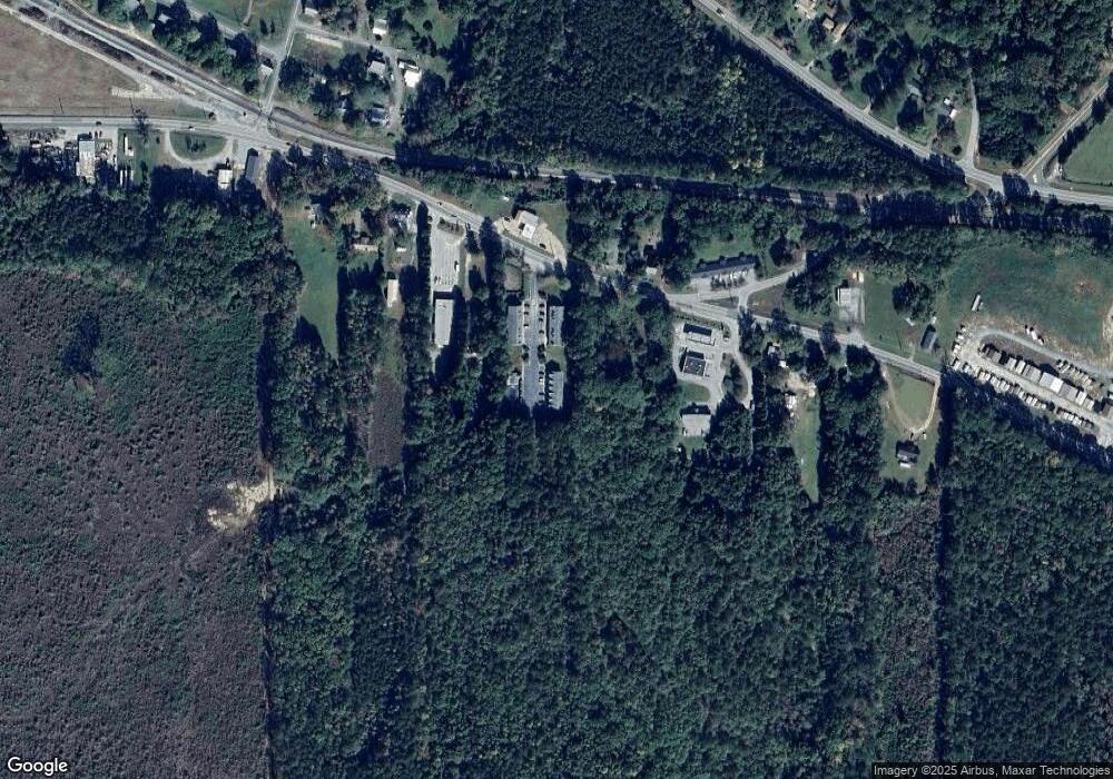
Map
Nearby Homes
- 14 Weaver St
- 119 Taylor Rd
- 1375 Highway 42 S
- 0 Morningside Ct Unit 10557547
- 347 Ww Carr Ave
- 285 Taylor Rd
- 908 Nelson St
- 321 Kirts Ridge
- 480 Hickory Ridge Rd
- 544 Franklin St
- 330 James Moore Cir
- 596 Kay St
- 125 Pineview Rd
- 529 E College St
- 742 Joy St
- 771 Regal Rd
- 376 Covington St
- 244 Queens Ct
- 415 White Pine Dr
- 209 Regal Rd
- 890 Highway 42 S Unit C3
- 890 Highway 42 S Unit 6C
- 890 Highway 42 S Unit 4-C
- 890 Highway 42 S Unit B2
- 890 Highway 42 S
- 890 Highway 42 S
- 890 Highway 42 S
- 890 Highway 42 S
- 890 Highway 42 S
- 890 Highway 42 S
- 890 Highway 42 S
- 890 Highway 42 S
- 890 Highway 42 S Unit C2
- 890 Highway 42 S
- 890 Highway 42 S
- 890 Highway 42 S
- 890 Highway 42 S
- 890 Highway 42 S
- 890 Highway 42 S
- 890 Highway 42 S Unit A3