890 Highway 42 S Jackson, GA 30233
Estimated Value: $122,000 - $137,011
--
Bed
4
Baths
1,260
Sq Ft
$106/Sq Ft
Est. Value
About This Home
This home is located at 890 Highway 42 S, Jackson, GA 30233 and is currently estimated at $133,003, approximately $105 per square foot. 890 Highway 42 S is a home located in Butts County with nearby schools including Jackson High School.
Ownership History
Date
Name
Owned For
Owner Type
Purchase Details
Closed on
Jun 2, 2021
Sold by
Sparks Wilson Llc
Bought by
Gilchrist Jesse and Gilchrist James T
Current Estimated Value
Purchase Details
Closed on
Jul 16, 2018
Sold by
Weeter Fred
Bought by
Sparks Wilson Llc
Purchase Details
Closed on
Mar 9, 2011
Sold by
Greene Calvin W
Bought by
Weeter Fred
Purchase Details
Closed on
Aug 6, 2010
Sold by
Weeter Fred
Bought by
Greene Calvin W
Purchase Details
Closed on
Nov 26, 2007
Sold by
Not Provided
Bought by
Weeter Fred and Weeter Cindy
Purchase Details
Closed on
Jan 18, 2005
Sold by
Millennium Developers Llc
Bought by
Used Furniture Barn Llc
Create a Home Valuation Report for This Property
The Home Valuation Report is an in-depth analysis detailing your home's value as well as a comparison with similar homes in the area
Home Values in the Area
Average Home Value in this Area
Purchase History
| Date | Buyer | Sale Price | Title Company |
|---|---|---|---|
| Gilchrist Jesse | $85,000 | -- | |
| Sparks Wilson Llc | $60,000 | -- | |
| Weeter Fred | -- | -- | |
| Greene Calvin W | $64,900 | -- | |
| Weeter Fred | -- | -- | |
| Used Furniture Barn Llc | $53,000 | -- |
Source: Public Records
Tax History Compared to Growth
Tax History
| Year | Tax Paid | Tax Assessment Tax Assessment Total Assessment is a certain percentage of the fair market value that is determined by local assessors to be the total taxable value of land and additions on the property. | Land | Improvement |
|---|---|---|---|---|
| 2024 | $1,286 | $54,612 | $2,000 | $52,612 |
| 2023 | $1,318 | $52,739 | $2,000 | $50,739 |
| 2022 | $923 | $44,171 | $2,000 | $42,171 |
| 2021 | $864 | $29,760 | $2,000 | $27,760 |
| 2020 | $898 | $29,760 | $2,000 | $27,760 |
| 2019 | $913 | $31,296 | $2,000 | $29,296 |
| 2018 | $916 | $30,112 | $2,000 | $28,112 |
| 2017 | $777 | $25,088 | $4,000 | $21,088 |
| 2016 | $921 | $28,992 | $4,000 | $24,992 |
| 2015 | $832 | $25,053 | $3,600 | $21,453 |
| 2014 | $836 | $25,053 | $3,600 | $21,453 |
Source: Public Records
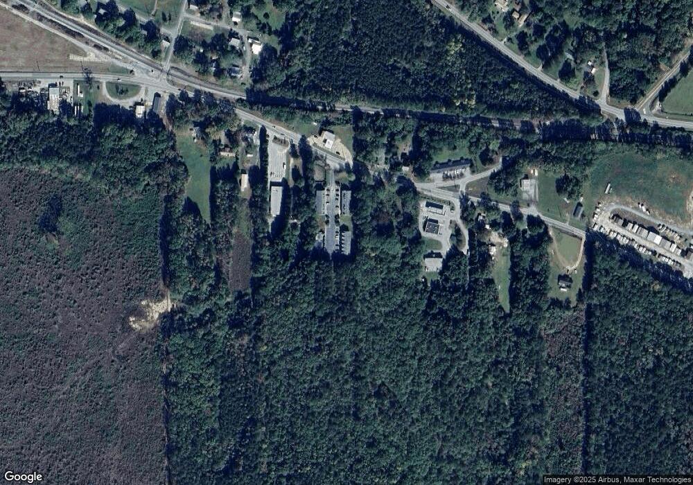
Map
Nearby Homes
- 14 Weaver St
- 119 Taylor Rd
- 0 Macon Ave Unit 179549
- 0 Macon Ave Unit 10514173
- 1263 Highway 16 E
- 131 Taylor Rd
- 1375 Highway 42 S
- 0 Morningside Ct Unit 10557547
- 347 Ww Carr Ave
- 285 Taylor Rd
- 143 Valley Hills Rd
- 1065 Nelson St
- 375 Saint Andrews Dr
- 965 Nelson St
- 908 Nelson St
- 321 Kirts Ridge
- 544 Franklin St
- 591 Freeman St
- 330 James Moore Cir
- 742 Joy St
- 890 Highway 42 S Unit C3
- 890 Highway 42 S Unit 6C
- 890 Highway 42 S Unit 4-C
- 890 Highway 42 S Unit B2
- 890 Highway 42 S Unit B5
- 890 Highway 42 S
- 890 Highway 42 S
- 890 Highway 42 S
- 890 Highway 42 S
- 890 Highway 42 S
- 890 Highway 42 S
- 890 Highway 42 S
- 890 Highway 42 S Unit C2
- 890 Highway 42 S
- 890 Highway 42 S
- 890 Highway 42 S
- 890 Highway 42 S
- 890 Highway 42 S
- 890 Highway 42 S
- 890 Highway 42 S Unit A3