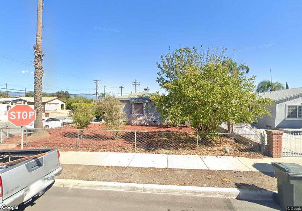
890 Sperry Dr Colton, CA 92324
Estimated Value: $365,000 - $418,000
2
Beds
1
Bath
790
Sq Ft
$489/Sq Ft
Est. Value
About This Home
This home is located at 890 Sperry Dr, Colton, CA 92324 and is currently estimated at $386,169, approximately $488 per square foot. 890 Sperry Dr is a home located in San Bernardino County with nearby schools including Alice Birney Elementary School, Colton Middle School, and Colton High School.
Ownership History
Date
Name
Owned For
Owner Type
Purchase Details
Closed on
Aug 5, 2013
Sold by
Brar Balpheet S and Kaur Pushpinder Paul
Bought by
Mbp Investments Llc
Current Estimated Value
Purchase Details
Closed on
Mar 14, 2012
Sold by
Salgado Irma
Bought by
Brar Balpreet S and Brar Pushpinder Paul K
Purchase Details
Closed on
Mar 20, 2004
Sold by
Salgado Alfredo and Salgado Irma
Bought by
Salgado Irma
Create a Home Valuation Report for This Property
The Home Valuation Report is an in-depth analysis detailing your home's value as well as a comparison with similar homes in the area
Home Values in the Area
Average Home Value in this Area
Purchase History
| Date | Buyer | Sale Price | Title Company |
|---|---|---|---|
| Mbp Investments Llc | -- | None Available | |
| Brar Balpreet S | $62,100 | None Available | |
| Salgado Irma | -- | -- |
Source: Public Records
Tax History
| Year | Tax Paid | Tax Assessment Tax Assessment Total Assessment is a certain percentage of the fair market value that is determined by local assessors to be the total taxable value of land and additions on the property. | Land | Improvement |
|---|---|---|---|---|
| 2025 | $1,058 | $82,899 | $26,378 | $56,521 |
| 2024 | $1,010 | $81,274 | $25,861 | $55,413 |
| 2023 | $1,013 | $79,680 | $25,354 | $54,326 |
| 2022 | $999 | $78,118 | $24,857 | $53,261 |
| 2021 | $1,019 | $76,587 | $24,370 | $52,217 |
| 2020 | $1,023 | $75,802 | $24,120 | $51,682 |
| 2019 | $996 | $74,316 | $23,647 | $50,669 |
| 2018 | $980 | $72,858 | $23,183 | $49,675 |
| 2017 | $947 | $71,429 | $22,728 | $48,701 |
| 2016 | $970 | $70,028 | $22,282 | $47,746 |
| 2015 | $940 | $68,976 | $21,947 | $47,029 |
| 2014 | $908 | $67,625 | $21,517 | $46,108 |
Source: Public Records
Map
Nearby Homes
- 974 Sperry Dr
- 1002 N Florence Ave
- 1021 N Western Ave
- 845 E H St
- 841 E H St
- 472 E E St
- 0 N Wheeler Ln Unit PW25226133
- 584 E H St Unit 1-11
- 955 Inland Center Dr Unit 29
- 507 Villa Way
- 845 N 9th St
- 1452 Fairview Ave
- 0 W Fairway Dr
- 1077 N La Cadena Dr
- 0 N 8th St Unit RS26030888
- 410 E Citrus St
- 242 E M St
- 1953 N 8th St
- 165 E O St
- 125 E O St
- 874 Sperry Dr
- 810 Sperry Dr
- 904 Sperry Dr
- 851 Illinois Ave
- 939 Shasta Dr
- 845 Illinois Ave
- 839 Illinois Ave
- 903 Illinois Ave
- 908 Sperry Dr
- 930 Shasta Dr
- 833 Illinois Ave
- 806 Sperry Dr
- 827 Illinois Ave
- 907 Illinois Ave
- 912 Sperry Dr
- 927 Shasta Dr
- 924 Shasta Dr
- 911 Illinois Ave
- 802 Sperry Dr
- 925 Shasta Dr
Your Personal Tour Guide
Ask me questions while you tour the home.