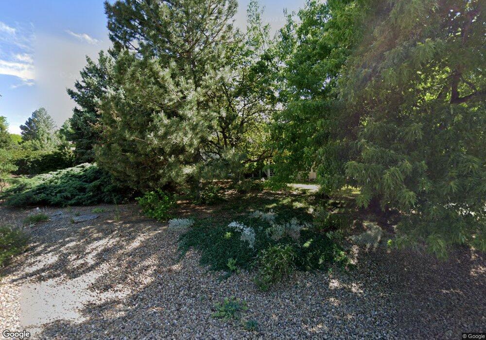
8902 Comanche Rd Niwot, CO 80503
Niwot NeighborhoodEstimated Value: $923,209 - $1,385,000
4
Beds
4
Baths
2,911
Sq Ft
$396/Sq Ft
Est. Value
About This Home
This home is located at 8902 Comanche Rd, Niwot, CO 80503 and is currently estimated at $1,151,302, approximately $395 per square foot. 8902 Comanche Rd is a home located in Boulder County with nearby schools including Niwot Elementary School, Sunset Middle School, and Niwot High School.
Ownership History
Date
Name
Owned For
Owner Type
Purchase Details
Closed on
Jan 3, 2026
Sold by
Toensing Carol A
Bought by
Carol Toensing Estate Llc
Current Estimated Value
Purchase Details
Closed on
Mar 1, 2002
Sold by
Rutherford Jeffrey B and Rutherford Debra C
Bought by
Toensing Richard E
Purchase Details
Closed on
Aug 2, 1990
Bought by
Toensing Richard E and Toensing Carol A
Purchase Details
Closed on
Feb 4, 1981
Bought by
Toensing Richard E and Toensing Carol A
Purchase Details
Closed on
Jan 12, 1973
Bought by
Toensing Richard E and Toensing Carol A
Create a Home Valuation Report for This Property
The Home Valuation Report is an in-depth analysis detailing your home's value as well as a comparison with similar homes in the area
Home Values in the Area
Average Home Value in this Area
Purchase History
| Date | Buyer | Sale Price | Title Company |
|---|---|---|---|
| Carol Toensing Estate Llc | -- | None Listed On Document | |
| Toensing Richard E | $489,000 | -- | |
| Toensing Richard E | $125,000 | -- | |
| Toensing Richard E | -- | -- | |
| Toensing Richard E | $46,500 | -- |
Source: Public Records
Tax History
| Year | Tax Paid | Tax Assessment Tax Assessment Total Assessment is a certain percentage of the fair market value that is determined by local assessors to be the total taxable value of land and additions on the property. | Land | Improvement |
|---|---|---|---|---|
| 2025 | $4,846 | $56,351 | $25,163 | $31,188 |
| 2024 | $4,846 | $56,351 | $25,163 | $31,188 |
| 2023 | $4,782 | $55,824 | $23,309 | $36,200 |
| 2022 | $3,975 | $45,877 | $21,003 | $24,874 |
| 2021 | $4,028 | $47,197 | $21,607 | $25,590 |
| 2020 | $3,849 | $45,517 | $16,159 | $29,358 |
| 2019 | $3,835 | $45,517 | $16,159 | $29,358 |
| 2018 | $3,104 | $38,441 | $12,168 | $26,273 |
| 2017 | $2,916 | $42,498 | $13,452 | $29,046 |
| 2016 | $3,211 | $41,679 | $14,965 | $26,714 |
| 2015 | $3,059 | $36,202 | $10,268 | $25,934 |
| 2014 | $3,094 | $36,202 | $10,268 | $25,934 |
Source: Public Records
Map
Nearby Homes
- 8748 Skyland Dr
- 6541 Legend Ridge Trail
- 6557 Legend Ridge Trail
- 6771 Niwot Hills Dr
- 6703 Asher Ct
- 9261 Blue Spruce Ln
- 6851 6860 Goldbranch Dr
- 9258 Niwot Hills Dr
- 6695 Jacqueline Ct
- 6696 Jacqueline Ct
- 6692 Jacqueline Ct
- 8906 Little Raven Trail
- 8528 Skyland Dr
- 8568 Foxhaven Ct
- 8461 Pawnee Ln
- 7187 Longview Dr
- 8576 Niwot Meadow Farm Rd
- 8179 Dry Creek Cir
- 7012 Johnson Cir
- 8060 Niwot Rd Unit 66E
- 8903 Walker Rd
- 8882 Comanche Rd
- 8922 Comanche Rd
- 8883 Walker Rd
- 8911 Comanche Rd
- 8923 Walker Rd
- 8931 Comanche Rd
- 8862 Comanche Rd
- 8942 Comanche Rd
- 6763 Comanche Ct
- 8863 Walker Rd
- 8943 Walker Rd
- 8904 Walker Rd
- 6774 Comanche Ct
- 8951 Comanche Rd
- 6686 Apache Ct
- 8871 Comanche Rd
- 8962 Comanche Rd
- 8842 Comanche Rd
- 8934 Walker Rd
Your Personal Tour Guide
Ask me questions while you tour the home.
