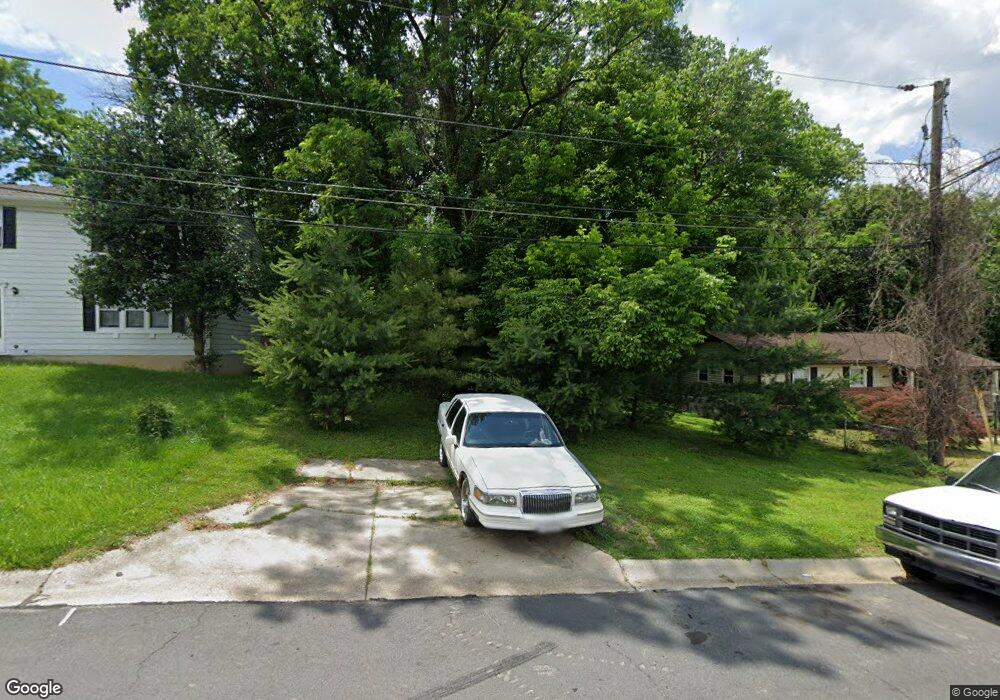
8904 Albert Stewart Ln Silver Spring, MD 20910
Estimated Value: $430,000 - $2,285,000
Studio
--
Bath
--
Sq Ft
5,401
Sq Ft
About This Home
This home is located at 8904 Albert Stewart Ln, Silver Spring, MD 20910 and is currently estimated at $1,562,000. 8904 Albert Stewart Ln is a home located in Montgomery County with nearby schools including Rosemary Hills Elementary School, North Chevy Chase Elementary School, and Silver Creek Middle School.
Ownership History
Date
Name
Owned For
Owner Type
Purchase Details
Closed on
May 31, 2011
Sold by
Cb Albert Stewart Lane Llc
Bought by
Lyttonsville Land Company Llc
Current Estimated Value
Purchase Details
Closed on
Oct 25, 2004
Sold by
Triad Development Corp
Bought by
Cb Albert Stewart Lane Llc
Purchase Details
Closed on
Mar 15, 2000
Sold by
Scott Fred E
Bought by
Scott Belva K
Create a Home Valuation Report for This Property
The Home Valuation Report is an in-depth analysis detailing your home's value as well as a comparison with similar homes in the area
Home Values in the Area
Average Home Value in this Area
Purchase History
| Date | Buyer | Sale Price | Title Company |
|---|---|---|---|
| Lyttonsville Land Company Llc | $650,000 | None Available | |
| Cb Albert Stewart Lane Llc | $1,350,000 | -- | |
| Scott Belva K | -- | -- | |
| Triad Development Corp | $45,000 | -- |
Source: Public Records
Tax History
| Year | Tax Paid | Tax Assessment Tax Assessment Total Assessment is a certain percentage of the fair market value that is determined by local assessors to be the total taxable value of land and additions on the property. | Land | Improvement |
|---|---|---|---|---|
| 2025 | $2,709 | $235,300 | $235,300 | -- |
| 2024 | $2,709 | $235,300 | $235,300 | $0 |
| 2023 | $2,711 | $235,300 | $235,300 | $0 |
| 2022 | $2,597 | $235,300 | $235,300 | $0 |
| 2021 | $5,188 | $235,300 | $235,300 | $0 |
| 2020 | $5,189 | $235,300 | $235,300 | $0 |
| 2019 | $2,595 | $235,300 | $235,300 | $0 |
| 2018 | $2,599 | $235,300 | $235,300 | $0 |
| 2017 | $2,647 | $235,300 | $0 | $0 |
| 2016 | -- | $235,300 | $0 | $0 |
| 2015 | $2,520 | $235,300 | $0 | $0 |
| 2014 | $2,520 | $235,300 | $0 | $0 |
Source: Public Records
Map
Nearby Homes
- 2106 Ross Rd
- 8502 Donnybrook Dr
- 1900 Lyttonsville Rd
- 1900 Lyttonsville Rd
- 1900 Lyttonsville Rd
- 1900 Lyttonsville Rd Unit 602
- 1900 Lyttonsville Rd Unit 1003
- 1900 Lyttonsville Rd
- 1900 Lyttonsville Rd
- 1900 Lyttonsville Rd Unit P96
- 1900 Lyttonsville Rd
- 1911 Lyttonsville Rd
- 9403 Warren St
- 2312 Colston Dr Unit 201
- 2100 Washington Ave Unit 4C
- 2100 Washington Ave
- 8335 Grubb Rd Unit 203
- 2205 Washington Ave Unit 102
- 2248 Washington Ave Unit 101
- 2408 Seminary Rd
- 8902 Albert Stewart Ln
- 8906 Albert Stewart Ln
- 8900 Albert Stewart Ln
- 2413 Kansas Ave
- 8908 Albert Stewart Ln
- 8905 Albert Stewart Ln
- 8910 Albert Stewart Ln
- 2409 Kansas Ave
- 8909 Albert Stewart Ln
- 8911 Albert Stewart Ln
- 8918 Maine Ave
- 2405 Kansas Ave
- 8916 Maine Ave
- 8914 Maine Ave
- 8912 Maine Ave
- 2310 Stewart Ave
- 2401 Kansas Ave
- 8910 Maine Ave
- 2401 Lyttonsville Rd
- 2316 Kansas Ave
Your Personal Tour Guide
Ask me questions while you tour the home.