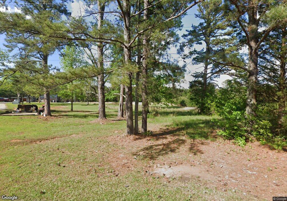
891 Buchanan Rd Griffin, GA 30224
Estimated Value: $207,000 - $409,319
3
Beds
1
Bath
1,148
Sq Ft
$303/Sq Ft
Est. Value
About This Home
This home is located at 891 Buchanan Rd, Griffin, GA 30224 and is currently estimated at $347,580, approximately $302 per square foot. 891 Buchanan Rd is a home located in Pike County with nearby schools including Pike County Primary School, Pike County Elementary School, and Pike County Middle School.
Ownership History
Date
Name
Owned For
Owner Type
Purchase Details
Closed on
Aug 11, 2023
Sold by
Thomas Pamela Mills
Bought by
Thomas Calvin Todd
Current Estimated Value
Purchase Details
Closed on
May 27, 2021
Sold by
Thomas Pam Mills
Bought by
Thomas Todd and Brooks Dena
Purchase Details
Closed on
Nov 10, 2010
Bought by
Mills Thomas Pam
Purchase Details
Closed on
Apr 25, 1981
Bought by
Thomas Pam Mills
Create a Home Valuation Report for This Property
The Home Valuation Report is an in-depth analysis detailing your home's value as well as a comparison with similar homes in the area
Home Values in the Area
Average Home Value in this Area
Purchase History
| Date | Buyer | Sale Price | Title Company |
|---|---|---|---|
| Thomas Calvin Todd | -- | -- | |
| Thomas Todd | -- | -- | |
| Mills Thomas Pam | -- | -- | |
| Thomas Pam Mills | -- | -- |
Source: Public Records
Tax History Compared to Growth
Tax History
| Year | Tax Paid | Tax Assessment Tax Assessment Total Assessment is a certain percentage of the fair market value that is determined by local assessors to be the total taxable value of land and additions on the property. | Land | Improvement |
|---|---|---|---|---|
| 2024 | $1,609 | $127,369 | $76,019 | $51,350 |
| 2023 | $1,890 | $127,369 | $76,019 | $51,350 |
| 2022 | $1,339 | $92,193 | $58,476 | $33,717 |
| 2021 | $1,426 | $119,710 | $85,993 | $33,717 |
| 2020 | $1,235 | $119,137 | $85,992 | $33,145 |
| 2019 | $1,121 | $75,737 | $50,584 | $25,153 |
| 2018 | $1,114 | $75,737 | $50,584 | $25,153 |
| 2017 | $1,098 | $75,737 | $50,584 | $25,153 |
| 2016 | $1,013 | $75,736 | $50,584 | $25,153 |
| 2015 | $959 | $75,736 | $50,584 | $25,153 |
| 2014 | $967 | $75,736 | $50,584 | $25,153 |
| 2013 | -- | $75,736 | $50,583 | $25,152 |
Source: Public Records
Map
Nearby Homes
- 98 Stone Mill Walk
- 105 Quarry Cir
- 107 Slate Dr
- 109 Garnet Ln
- 14375 U S 19
- 111 Huntington Terrace
- 120 Huntington Terrace
- 210 Hidden Falls Walk
- 534 Deer Lake Dr
- 500 Lakeside Rd
- 219 Timber Wolf Trail
- 15390 U S Highway 19 Hwy
- 121 Cambridge Dr S
- 207 Dixon Cir
- 1407 Patton Rd
- 158 Merrybrook Rd
- 116 Southbrook Dr
- 1595 Moreland Rd
- 394 Hunter Rd
- 237 Raventree Ln
- 979 Buchanan Rd
- 824 Buchanan Rd
- 733 Carter Rd
- 807 Buchanan Rd
- 385 Harrington Walk
- 1070 Buchanan Rd
- 1099 Buchanan Rd
- 1112 Buchanan Rd
- 333 Harrington Walk
- 788 Buchanan Rd
- 386 Harrington Walk
- 320 Harrington Walk
- 41 Stone Mill Walk
- 786 Buchanan Rd
- 607 Buchanan Rd
- 551 Carter Rd
- 282 Harrington Walk
- 1210 Buchanan Rd
- 133 Stone Mill Walk
- 293 Harrington Walk
