891 Summit Dr Gallatin Gateway, MT 59730
Estimated Value: $1,661,000 - $1,963,806
1
Bed
4
Baths
2,180
Sq Ft
$809/Sq Ft
Est. Value
About This Home
This home is located at 891 Summit Dr, Gallatin Gateway, MT 59730 and is currently estimated at $1,764,702, approximately $809 per square foot. 891 Summit Dr is a home located in Gallatin County with nearby schools including Gallatin Gateway Elementary School, Gallatin Gateway School, and Gallatin High School.
Ownership History
Date
Name
Owned For
Owner Type
Purchase Details
Closed on
Feb 17, 2021
Sold by
Losinski Edward James and Losinski Jane Ellen
Bought by
Losinski Edward James and Losinski Jane Ellen
Current Estimated Value
Purchase Details
Closed on
Aug 2, 2016
Sold by
Connor Thomas R O and Connor Celia L O
Bought by
Losinski Edward J and Losinski Jane E
Home Financials for this Owner
Home Financials are based on the most recent Mortgage that was taken out on this home.
Original Mortgage
$335,000
Outstanding Balance
$153,627
Interest Rate
3.54%
Mortgage Type
New Conventional
Estimated Equity
$1,611,075
Create a Home Valuation Report for This Property
The Home Valuation Report is an in-depth analysis detailing your home's value as well as a comparison with similar homes in the area
Purchase History
We collect this data history from publicly available records. To have your information removed, we recommend requesting removal directly through your county’s website.
| Date | Buyer | Sale Price | Title Company |
|---|---|---|---|
| Losinski Edward James | -- | None Available | |
| Losinski Edward J | -- | Security Title Company |
Source: Public Records
Mortgage History
We collect this data history from publicly available records. To have your information removed, we recommend requesting removal directly through your county’s website.
| Date | Status | Borrower | Loan Amount |
|---|---|---|---|
| Open | Losinski Edward J | $335,000 |
Source: Public Records
Tax History
| Year | Tax Paid | Tax Assessment Tax Assessment Total Assessment is a certain percentage of the fair market value that is determined by local assessors to be the total taxable value of land and additions on the property. | Land | Improvement |
|---|---|---|---|---|
| 2025 | $6,554 | $1,639,785 | $0 | $0 |
| 2024 | $7,460 | $1,540,050 | $0 | $0 |
| 2023 | $7,146 | $1,540,050 | $0 | $0 |
| 2022 | $5,447 | $875,249 | $0 | $0 |
| 2021 | $6,305 | $875,249 | $0 | $0 |
| 2020 | $5,507 | $755,693 | $0 | $0 |
| 2019 | $5,388 | $755,693 | $0 | $0 |
| 2018 | $4,675 | $604,118 | $0 | $0 |
| 2017 | $4,283 | $604,118 | $0 | $0 |
| 2016 | $4,158 | $553,239 | $0 | $0 |
| 2015 | $4,187 | $553,239 | $0 | $0 |
| 2014 | $3,220 | $236,623 | $0 | $0 |
Source: Public Records
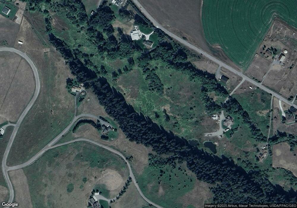
Map
Nearby Homes
- Lot 41 Upper Tom Burke Rd
- 1111 Upper Tom Burke Rd
- 1080 Upper Tom Burke Rd
- TBD Hawk Hill Rd
- 37329 Gallatin Rd
- S Whistleberry Rd
- 15815 Portnell Rd
- 303 S Big Elk Meadow Rd
- 56 & 70 E Williams Rd
- TBD S Whistleberry Rd
- TBD S Cottonwood Rd
- 1021 Gateway South Rd
- 20 Rabel Ln
- 1981 Gateway South Rd
- 209 Bozeman St
- 11400 Gooch Hill Rd
- 511 Table Mountain Dr
- TBD Stampede Trail
- 413 N Garnet Mountain Way
- 77300 Gallatin Rd
- 867 Summit Dr
- 1060 Summit Dr Unit A
- 1060 Summit Dr
- 700 Little Bear Rd
- TBA Summit Dr
- tract 6 Summit Dr
- Lot 9 Summit Dr
- Lot 7 Summit Dr
- 600 Little Bear Rd
- 550 Little Bear Rd
- 638 Lower Tom Burke Rd (To Be Moved From Site)
- 1350 Lower Tom Burke Rd
- 945 Upper Tom Burke Rd
- 909 Little Bear Rd
- 1335 Lower Tom Burke Rd
- 980 Little Bear Rd
- 1035 Upper Tom Burke Rd
- 277 Moose Crossing Rd
- 1375 Lower Tom Burke Rd
- 984 Lower Tom Burke Rd
Your Personal Tour Guide
Ask me questions while you tour the home.