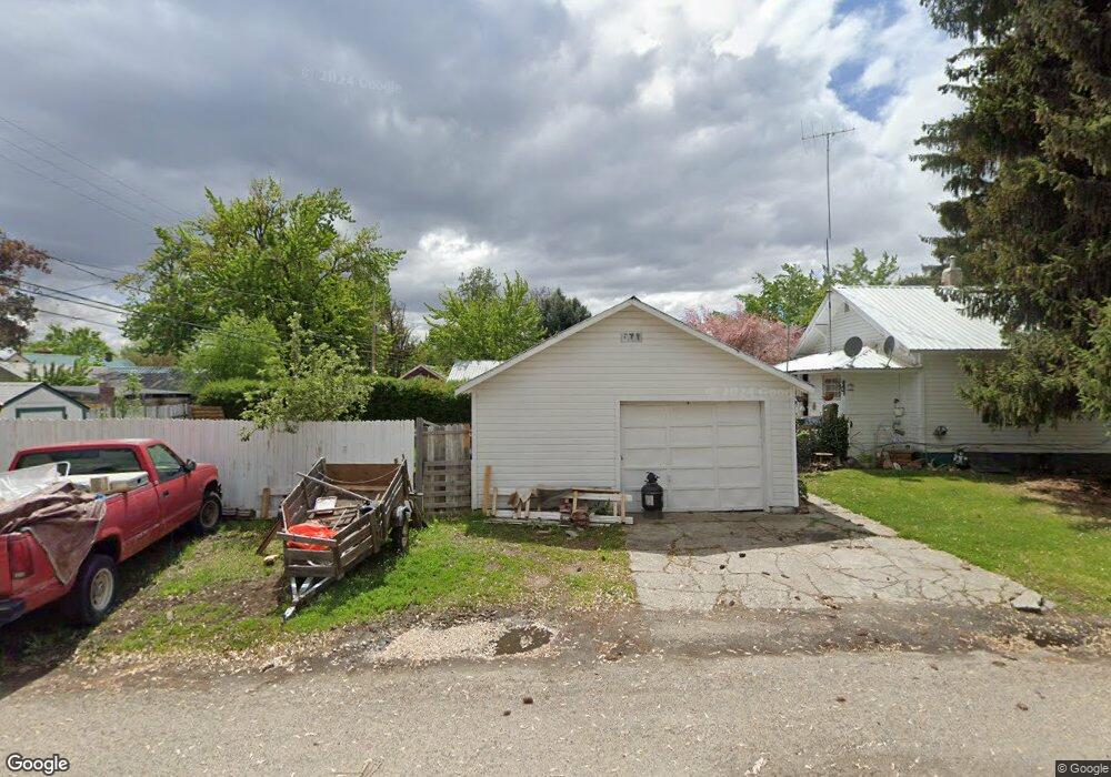
891 W Weiser, ID 83672
6
Beds
2
Baths
1,976
Sq Ft
--
Built
About This Home
This home is located at 891 W, Weiser, ID 83672. 891 W is a home located in Washington County with nearby schools including Pioneer Primary School, Park Intermediate School, and Weiser Middle School.
Create a Home Valuation Report for This Property
The Home Valuation Report is an in-depth analysis detailing your home's value as well as a comparison with similar homes in the area
Home Values in the Area
Average Home Value in this Area
Tax History
| Year | Tax Paid | Tax Assessment Tax Assessment Total Assessment is a certain percentage of the fair market value that is determined by local assessors to be the total taxable value of land and additions on the property. | Land | Improvement |
|---|---|---|---|---|
| 2025 | $2,920 | $320,536 | $45,961 | $274,575 |
| 2024 | $2,994 | $318,124 | $45,961 | $272,163 |
| 2023 | $2,729 | $300,706 | $45,961 | $254,745 |
| 2022 | $2,939 | $289,351 | $45,961 | $243,390 |
| 2021 | $2,684 | $216,981 | $38,297 | $178,684 |
| 2020 | $2,125 | $160,469 | $30,633 | $129,836 |
| 2019 | $2,252 | $118,718 | $30,633 | $88,085 |
| 2018 | $2,070 | $136,514 | $30,633 | $105,881 |
| 2017 | $1,873 | $118,718 | $30,633 | $88,085 |
| 2013 | $2,000 | $0 | $0 | $0 |
| 2011 | $2,010 | $0 | $0 | $0 |
Source: Public Records
Map
Nearby Homes
- TBD .39 Acres W Galloway Ave
- 951 W 6th St
- 1073 W 5th St
- 914 W 3rd St
- 253 W Court St
- 622 W Commercial St
- 116 Pioneer Rd
- 30 Maple Dr
- 1500 W 7th St Unit 50
- 1500 W 7th St
- 1500 W 7th St Unit 65
- TBD Cove Rd
- 1090 W 10th St
- 1137 E 2nd St
- 695 Totem Dr
- 945 Twilight
- 955 Twilight
- 308 E Park St
- TBD Fairmont
- 975 Twilight
Your Personal Tour Guide
Ask me questions while you tour the home.