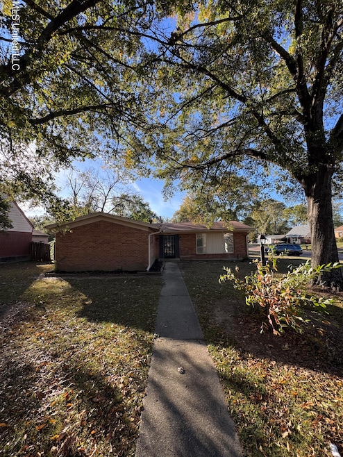
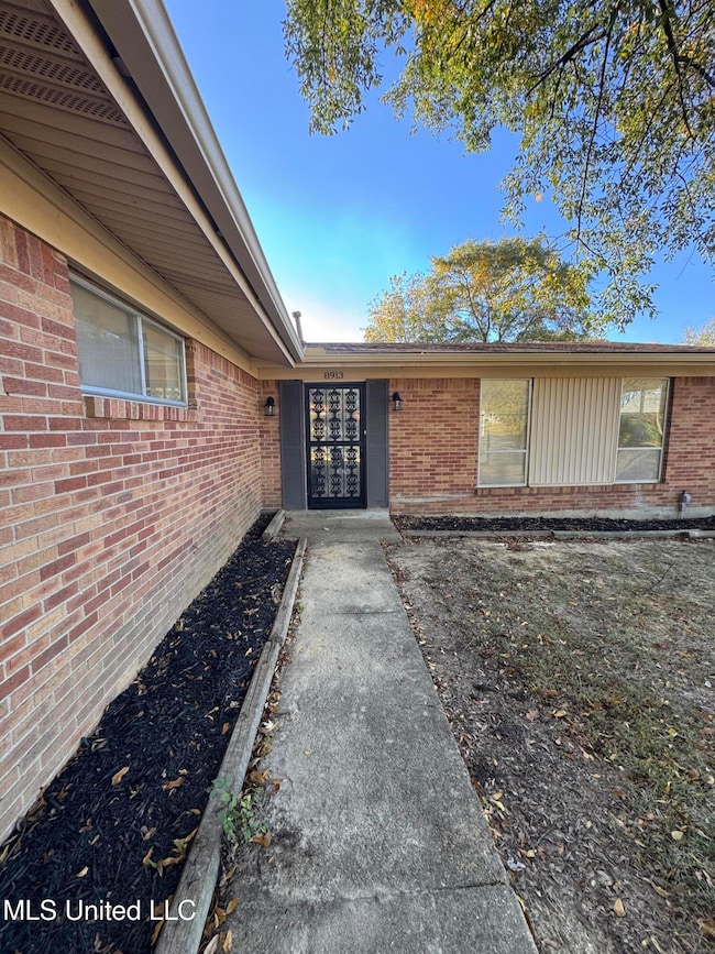
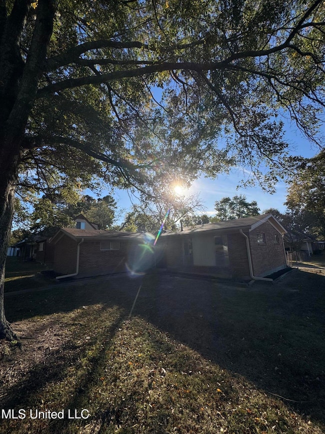
8913 Whitworth St Southaven, MS 38671
Estimated payment $1,214/month
Highlights
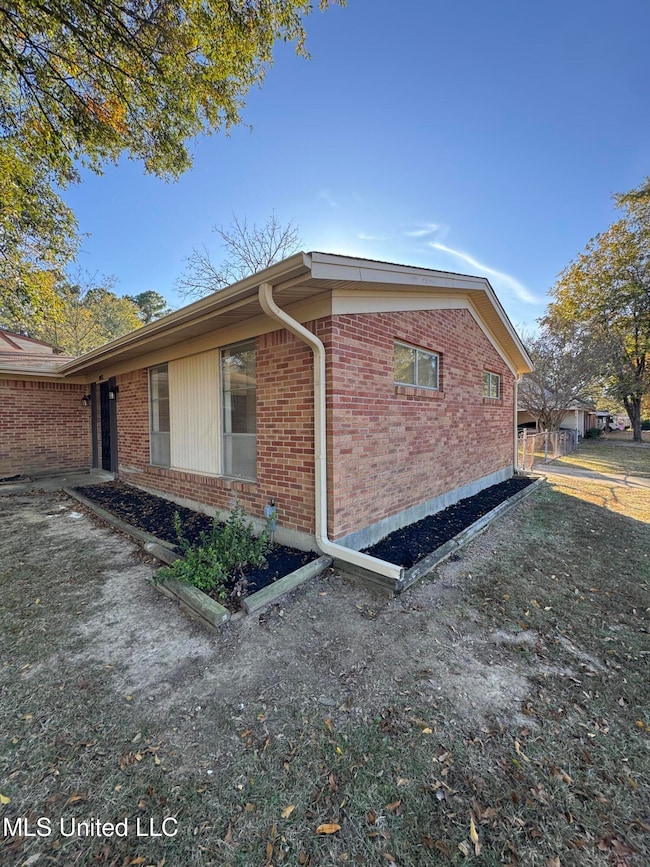
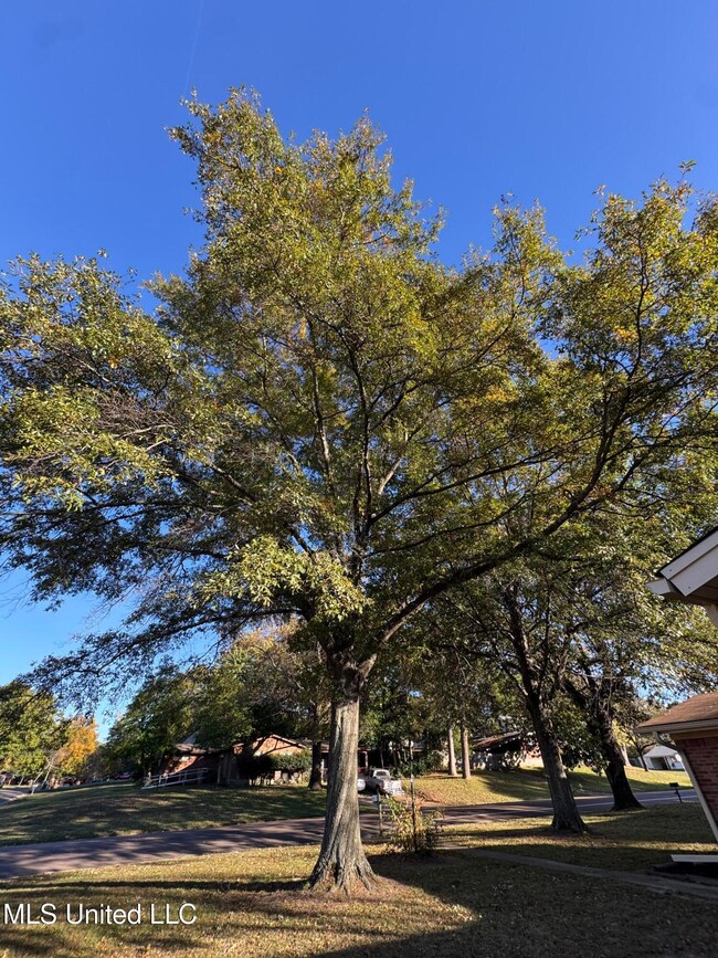
- Private Yard
- 1-Story Property
- Central Heating and Cooling System
- No HOA
About This Home
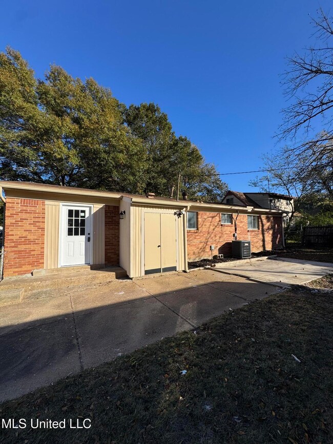
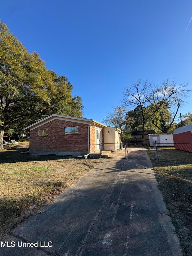
Remodeled 3 bedroom 2 bath. Home has fresh paint, new laminate flooring, updated lighting and hardware, new tile showers in both baths, new quartz countertops and new stainless appliances. It also has a fenced backyard with two storage sheds.
Home Details
Home Type
- Single Family
Est. Annual Taxes
- $1,046
Year Built
- Built in 1962
Lot Details
- 0.29 Acre Lot
- Private Yard
Parking
- Driveway
Home Design
- Brick Exterior Construction
- Slab Foundation
- Asphalt Shingled Roof
Interior Spaces
- 1,573 Sq Ft Home
- 1-Story Property
Kitchen
- Free-Standing Electric Range
- Range Hood
- Dishwasher
Bedrooms and Bathrooms
- 3 Bedrooms
- 2 Full Bathrooms
Schools
- Southaven Elementary School
- Southaven Middle School
- Southaven High School
Utilities
- Central Heating and Cooling System
- Natural Gas Connected
Community Details
- No Home Owners Association
- Southaven Subdivision
Listing and Financial Details
- Assessor Parcel Number 108623090 0036300
Map
Home Values in the Area
Average Home Value in this Area
Tax History
| Year | Tax Paid | Tax Assessment Tax Assessment Total Assessment is a certain percentage of the fair market value that is determined by local assessors to be the total taxable value of land and additions on the property. | Land | Improvement |
|---|---|---|---|---|
| 2024 | $948 | $6,498 | $1,500 | $4,998 |
| 2023 | $948 | $6,498 | $0 | $0 |
| 2022 | $872 | $6,099 | $1,500 | $4,599 |
| 2021 | $8 | $6,099 | $1,500 | $4,599 |
| 2020 | $8 | $6,099 | $1,500 | $4,599 |
| 2019 | $8 | $6,099 | $1,500 | $4,599 |
| 2017 | $8 | $10,302 | $5,901 | $4,401 |
| 2016 | $8 | $5,774 | $1,500 | $4,274 |
| 2015 | $822 | $10,048 | $5,774 | $4,274 |
| 2014 | $8 | $5,774 | $0 | $0 |
| 2013 | $8 | $5,774 | $0 | $0 |
Property History
| Date | Event | Price | List to Sale | Price per Sq Ft |
|---|---|---|---|---|
| 11/18/2025 11/18/25 | For Sale | $214,900 | -- | $137 / Sq Ft |
Purchase History
| Date | Type | Sale Price | Title Company |
|---|---|---|---|
| Trustee Deed | $135,100 | None Listed On Document | |
| Interfamily Deed Transfer | -- | None Available |
Mortgage History
| Date | Status | Loan Amount | Loan Type |
|---|---|---|---|
| Previous Owner | $1 | No Value Available | |
| Previous Owner | $96,000 | Reverse Mortgage Home Equity Conversion Mortgage |
Source: MLS United
MLS Number: 4131843
APN: 1086230900036300
Disclaimer: Certain information contained herein is derived from information provided by parties other than Homes.com. All information provided is deemed reliable, but is not guaranteed to be accurate and should be independently verified.
![]() Information is deemed to be reliable but not guaranteed. Copyright 2025 MLS United, LLC.
Information is deemed to be reliable but not guaranteed. Copyright 2025 MLS United, LLC.
- 1582 Vicksburg Dr
- 8694 Bunker Hill Dr
- 1383 Ranger Dr
- 9172 Forrest Dr
- 1728 Forrest Dr
- 1242 Brandywine Dr
- 8590 Cedar Cir W
- 1690 Desoto Cove
- 1896 Southaven Cir N
- 8628 Kinard Cove
- 1596 Hickory Dr
- 8699 Chesterfield Dr
- 8667 Chesterfield Dr
- 1821 Tad Cove
- 5573 Millbranch Rd
- 1456 Eason Ave
- 8505 Southaven Cir W
- 1591 Brookhaven Dr
- 1639 Kilarney Ave
- 8524 Farmington Cove
- 1731 Carla Cove
- 8614 Bunker Hill Dr
- 1821 Vaught Cir
- 8605 Kinard Cove
- 8398 Hickory Cove
- 8377 Whitehead Cove
- 8509 Farmington Cove
- 1645 Kilarney Ave
- 1265 Winfield Rd
- 1561 Winfield Rd
- 1722 Northfield Dr
- 1582 Custer Dr
- 7764 Auburn Cove
- 7650 Coral Meadows Dr
- 1329 Annesdale Dr
- 1594 E Holmes Rd
- 5167 Haleville Rd
- 7689 Ragland Place
- 7590 Amhurst Cove
- 1083 Richland Dr
