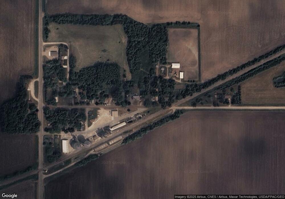
89188 220th St Albert Lea, MN 56007
Estimated Value: $132,000 - $168,982
2
Beds
1
Bath
2,112
Sq Ft
$72/Sq Ft
Est. Value
About This Home
This home is located at 89188 220th St, Albert Lea, MN 56007 and is currently estimated at $151,246, approximately $71 per square foot. 89188 220th St is a home located in Freeborn County with nearby schools including Banfield Elementary School, Ellis Middle School, and I.J. Holton Intermediate School.
Ownership History
Date
Name
Owned For
Owner Type
Purchase Details
Closed on
Oct 17, 2019
Sold by
Oldenkamp Jobb J and Oldenkamp Lisa
Bought by
Pitz Melissa and Larson Aaron
Current Estimated Value
Home Financials for this Owner
Home Financials are based on the most recent Mortgage that was taken out on this home.
Original Mortgage
$90,909
Outstanding Balance
$79,964
Interest Rate
3.7%
Mortgage Type
New Conventional
Estimated Equity
$71,282
Create a Home Valuation Report for This Property
The Home Valuation Report is an in-depth analysis detailing your home's value as well as a comparison with similar homes in the area
Home Values in the Area
Average Home Value in this Area
Purchase History
| Date | Buyer | Sale Price | Title Company |
|---|---|---|---|
| Pitz Melissa | $90,000 | None Available |
Source: Public Records
Mortgage History
| Date | Status | Borrower | Loan Amount |
|---|---|---|---|
| Open | Pitz Melissa | $90,909 |
Source: Public Records
Tax History Compared to Growth
Tax History
| Year | Tax Paid | Tax Assessment Tax Assessment Total Assessment is a certain percentage of the fair market value that is determined by local assessors to be the total taxable value of land and additions on the property. | Land | Improvement |
|---|---|---|---|---|
| 2025 | $1,108 | $132,000 | $2,300 | $129,700 |
| 2024 | $1,098 | $127,200 | $2,300 | $124,900 |
| 2023 | $1,194 | $121,700 | $2,300 | $119,400 |
| 2022 | $890 | $124,900 | $2,300 | $122,600 |
| 2021 | $922 | $94,100 | $2,300 | $91,800 |
| 2020 | $910 | $94,500 | $2,300 | $92,200 |
| 2019 | $774 | $88,800 | $2,300 | $86,500 |
| 2018 | $620 | $0 | $0 | $0 |
| 2016 | $512 | $0 | $0 | $0 |
| 2015 | $264 | $0 | $0 | $0 |
| 2014 | $854 | $0 | $0 | $0 |
| 2012 | $1,052 | $0 | $0 | $0 |
Source: Public Records
Map
Nearby Homes
- TBD 902 Avenue
- 23520 902nd Ave
- 86571 County Road 46
- 650 33rd St NW
- 24975 Mower Freeborn Rd
- xxx 900th Ave Bridge
- 1706 31st St SW
- 405 27th Dr NW
- 602 27th Dr NW
- 403 27th Dr NW
- 705 27th Dr NW
- 504 27th Dr NW
- 703 27th Dr NW
- 603 27th Dr NW
- 600 27th Dr NW
- 501 27th Dr NW
- 701 27th Dr NW
- 503 27th Dr NW
- 601 27th Dr NW
- 2701 4th Ave NW
- 89168 220th St
- 89158 220th St
- 89242 220th St
- 89165 Oakland Ave
- 89132 220th St
- 89128 220th St
- 89112 220th St
- 89220 220th St
- XXXX Oakland Ave
- 89092 220th St
- 89088 220th St
- 89074 220th St
- 21975 William St
- 21975 William St
- 89070 220th St
- 89066 Oakland Ave
- 22428 890th Ave
- 89060 220th St
- 89052 Oakland Ave
- 89052 Oakland Ave
