8919 Freeport Way Bakersfield, CA 93313
Panama NeighborhoodEstimated Value: $434,000 - $465,000
About This Home
This home is located at 8919 Freeport Way, Bakersfield, CA 93313 and is currently estimated at $450,754, approximately $238 per square foot. 8919 Freeport Way is a home with nearby schools including Bill L. Williams Elementary School, Stonecreek Junior High School, and Ridgeview High School.
Ownership History
We collect this data history from publicly available records. To have your information removed, we recommend requesting removal directly through your county’s website.
Purchase Details
Home Financials for this Owner
Home Financials are based on the most recent Mortgage that was taken out on this home.Home Values in the Area
Average Home Value in this Area
Purchase History
We collect this data history from publicly available records. To have your information removed, we recommend requesting removal directly through your county’s website.
| Date | Buyer | Sale Price | Title Company |
|---|---|---|---|
| $280,000 | First American Title Company |
Mortgage History
We collect this data history from publicly available records. To have your information removed, we recommend requesting removal directly through your county’s website.
| Date | Status | Borrower | Loan Amount |
|---|---|---|---|
| Open | $274,928 |
Tax History
We collect this data history from publicly available records. To have your information removed, we recommend requesting removal directly through your county’s website.
| Year | Tax Paid | Tax Assessment Tax Assessment Total Assessment is a certain percentage of the fair market value that is determined by local assessors to be the total taxable value of land and additions on the property. | Land | Improvement |
|---|---|---|---|---|
| 2025 | $4,457 | $318,588 | $68,267 | $250,321 |
| 2024 | $4,379 | $312,342 | $66,929 | $245,413 |
| 2023 | $4,379 | $306,218 | $65,617 | $240,601 |
| 2022 | $4,201 | $300,215 | $64,331 | $235,884 |
| 2021 | $4,070 | $294,329 | $63,070 | $231,259 |
| 2020 | $4,012 | $291,312 | $62,424 | $228,888 |
| 2019 | $3,941 | $291,312 | $62,424 | $228,888 |
| 2018 | $3,751 | $280,000 | $60,000 | $220,000 |
| 2017 | $690 | $54,552 | $54,552 | $0 |
| 2016 | $722 | $53,483 | $53,483 | $0 |
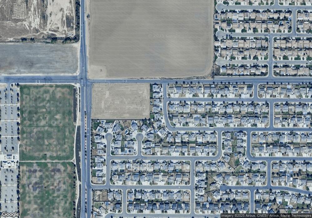
Map
- 6014 Samuelson St
- 6225 Thorton Ave
- 6009 Moonstone Peak Dr
- 6018 Woodard Ridge Dr
- 5612 Mckee Rd
- 9605 Surfside St
- 5809 Fernside Ct
- 5414 Red Wheat Ave
- 5918 Esmerelda Ave
- 5808 Esmerelda Ave
- 5513 Narrow Ridge Ct
- 6112 Commonwealth Ave
- 5831 Mardal Ave
- 6003 Vespucci Ave
- 10000 Fitchburg Dr
- 5917 Vespucci Ave
- 5803 Vespucci Ave
- 6203 Caruso Ave
- 6202 Caruso Ave
- 6208 Caruso Ave
- 9003 Freeport Way
- 8913 Freeport Way
- 6701 Maine Ave
- 6229 Maine Ave
- 9009 Freeport Way
- 8907 Freeport Way
- 6040 Samuelson St
- 6223 Maine Ave
- 9002 Rangeley Ct
- 8901 Freeport Way
- 6230 Maine Ave
- 9015 Freeport Way
- 6032 Samuelson St
- 6043 Samuelson St
- 6224 Maine Ave
- 6217 Maine Ave
- 9003 Rangeley Ct
- 6026 Samuelson St
- 6218 Maine Ave
- 6035 Samuelson St
Ask me questions while you tour the home.