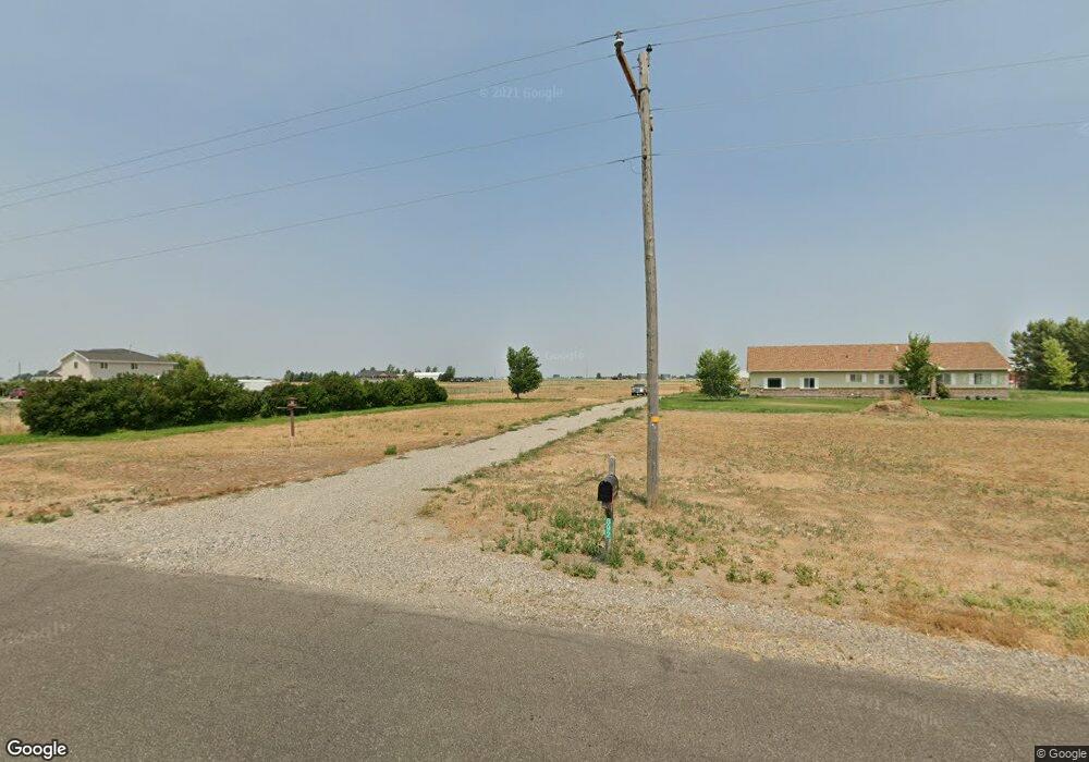
892 E 1000 N Shelley, ID 83274
Estimated Value: $520,000 - $609,000
2
Beds
2
Baths
1,828
Sq Ft
$316/Sq Ft
Est. Value
About This Home
This home is located at 892 E 1000 N, Shelley, ID 83274 and is currently estimated at $577,096, approximately $315 per square foot. 892 E 1000 N is a home with nearby schools including A.W. Johnson Elementary School, Firth Middle School, and Firth High School.
Ownership History
Date
Name
Owned For
Owner Type
Purchase Details
Closed on
Jul 28, 2005
Sold by
Cox Byard A and Cox Shirley A
Bought by
Fried David and Fried Deanna G
Current Estimated Value
Home Financials for this Owner
Home Financials are based on the most recent Mortgage that was taken out on this home.
Original Mortgage
$211,500
Outstanding Balance
$94,190
Interest Rate
2.75%
Mortgage Type
Adjustable Rate Mortgage/ARM
Estimated Equity
$482,906
Create a Home Valuation Report for This Property
The Home Valuation Report is an in-depth analysis detailing your home's value as well as a comparison with similar homes in the area
Purchase History
| Date | Buyer | Sale Price | Title Company |
|---|---|---|---|
| Fried David | -- | Alliance Title & Escrow Corp | |
| Cox Byard A | -- | Alliance Title & Escrow Corp |
Source: Public Records
Mortgage History
| Date | Status | Borrower | Loan Amount |
|---|---|---|---|
| Open | Fried David | $211,500 |
Source: Public Records
Tax History
| Year | Tax Paid | Tax Assessment Tax Assessment Total Assessment is a certain percentage of the fair market value that is determined by local assessors to be the total taxable value of land and additions on the property. | Land | Improvement |
|---|---|---|---|---|
| 2025 | $1,295 | $448,449 | $105,001 | $343,448 |
| 2024 | $1,365 | $448,449 | $105,001 | $343,448 |
| 2023 | $1,543 | $448,449 | $105,001 | $343,448 |
| 2022 | $3,174 | $448,449 | $105,001 | $343,448 |
| 2021 | $1,498 | $289,601 | $95,001 | $194,600 |
| 2020 | $1,373 | $250,601 | $0 | $0 |
| 2019 | $1,528 | $250,601 | $0 | $0 |
| 2018 | $1,083 | $194,701 | $45,001 | $149,700 |
| 2017 | $1,014 | $194,701 | $45,001 | $149,700 |
| 2016 | $1,010 | $194,701 | $0 | $0 |
| 2015 | -- | $194,701 | $0 | $0 |
| 2014 | -- | $194,701 | $45,001 | $149,700 |
Source: Public Records
Map
Nearby Homes
- TBD Sugar Factory Rd
- 1044 N 1000 E
- 285 Moonlight Dr
- 864 E 1200 N
- L11 B4 E Meadow Mist Ave
- L5 B6 E Meadow Walk Dr
- TBD 1200 N
- L4B1 Baseline Rd
- L6 B6 E Meadow Walk Dr
- L1 B6 E Meadow Mist Ave
- L7 B6 E Meadow Walk Dr
- 808 N 825 E
- 1225 N 885 E
- 965 October Cove
- 434 S Park Ave
- 136 W Elm St
- 428 Edwards Ave
- 161 E Elm St
- 285 E Elm St
- 1111 October Cove
Your Personal Tour Guide
Ask me questions while you tour the home.