Estimated Value: $520,000 - $609,000
3
Beds
2
Baths
1,956
Sq Ft
$285/Sq Ft
Est. Value
About This Home
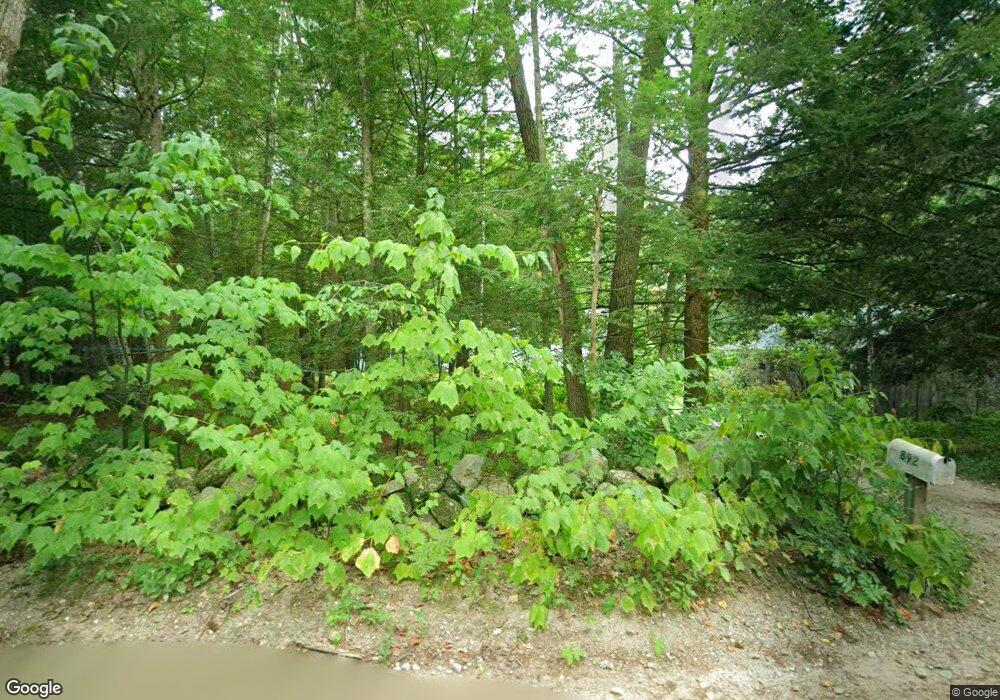
This home is located at 892 Hurricane Hill Rd, Mason, NH 03048 and is currently estimated at $557,801, approximately $285 per square foot. 892 Hurricane Hill Rd is a home located in Hillsborough County.
Ownership History
Date
Name
Owned For
Owner Type
Purchase Details
Closed on
May 2, 2003
Sold by
Poland Robert Edward and Poland Jill Ann
Bought by
Allen David C and Allen Laura G
Current Estimated Value
Home Financials for this Owner
Home Financials are based on the most recent Mortgage that was taken out on this home.
Original Mortgage
$254,250
Outstanding Balance
$110,743
Interest Rate
5.82%
Estimated Equity
$447,058
Create a Home Valuation Report for This Property
The Home Valuation Report is an in-depth analysis detailing your home's value as well as a comparison with similar homes in the area
Home Values in the Area
Average Home Value in this Area
Purchase History
| Date | Buyer | Sale Price | Title Company |
|---|---|---|---|
| Allen David C | $282,500 | -- |
Source: Public Records
Mortgage History
| Date | Status | Borrower | Loan Amount |
|---|---|---|---|
| Open | Allen David C | $27,000 | |
| Closed | Allen David C | $35,000 | |
| Open | Allen David C | $254,250 |
Source: Public Records
Tax History Compared to Growth
Tax History
| Year | Tax Paid | Tax Assessment Tax Assessment Total Assessment is a certain percentage of the fair market value that is determined by local assessors to be the total taxable value of land and additions on the property. | Land | Improvement |
|---|---|---|---|---|
| 2024 | $9,183 | $359,400 | $124,400 | $235,000 |
| 2023 | $8,525 | $359,400 | $124,400 | $235,000 |
| 2022 | $7,307 | $359,400 | $124,400 | $235,000 |
| 2021 | $7,130 | $359,400 | $124,400 | $235,000 |
| 2020 | $7,141 | $264,400 | $96,100 | $168,300 |
| 2019 | $6,935 | $264,300 | $96,100 | $168,200 |
| 2018 | $6,655 | $264,300 | $96,100 | $168,200 |
| 2017 | $6,647 | $264,300 | $96,100 | $168,200 |
| 2016 | $6,663 | $264,300 | $96,100 | $168,200 |
| 2015 | $6,929 | $291,400 | $80,500 | $210,900 |
| 2014 | $6,938 | $291,400 | $80,500 | $210,900 |
| 2013 | $7,256 | $291,400 | $80,500 | $210,900 |
Source: Public Records
Map
Nearby Homes
- 1235 Townsend Rd
- 1275 Valley Rd
- 9 Winterberry Rd
- 7 Winterberry Rd
- 59 Cleveland Hill Rd
- 75 Merriam Hill Rd
- 38 Countryside Dr
- 183 New Hillcrest Dr
- 3 Ben Farnsworth Rd
- 104 N Mason Rd
- 39 Old Ashby Rd
- 87 Laurel Dr
- 1-65-C Barrett Rd
- 18 Bridle Path
- 11 Fox Run
- 6 Laurelcrest Dr
- 0 Brookline St
- 15 N End Rd
- 53 W Meadow Rd
- 0 Davis Rd
- 903 Hurricane Hill Rd
- 931 Hurricane Hill Rd
- 966 Hurricane Hill Rd
- 841 Hurricane Hill Rd
- 814 Hurricane Hill Rd
- 815 Hurricane Hill Rd
- 1010 Hurricane Hill Rd
- 295 Hurricane Hill Rd Unit 1
- 295 Hurricane Hill Rd
- 1041 Hurricane Hill Rd
- 784 Hurricane Hill Rd
- 775 Hurricane Hill Rd
- 0 Hurricane Hill Rd
- 1042 Hurricane Hill Rd
- 748 Hurricane Hill Rd
- 717 Hurricane Hill Rd
- 712 Hurricane Hill Rd
- 650 Hurricane Hill Rd
- 24 Campbell Mill Rd
- 50 Campbell Mill Rd