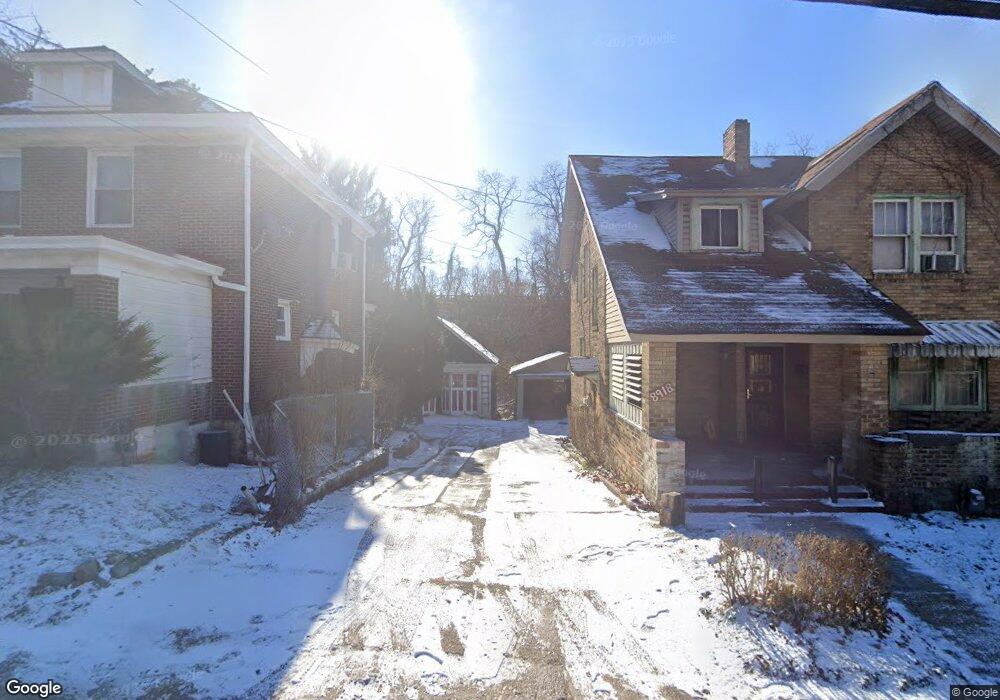
8920 Frankstown Rd Pittsburgh, PA 15235
Penn Hills Township NeighborhoodEstimated Value: $83,607 - $128,000
3
Beds
1
Bath
1,344
Sq Ft
$86/Sq Ft
Est. Value
About This Home
This home is located at 8920 Frankstown Rd, Pittsburgh, PA 15235 and is currently estimated at $115,402, approximately $85 per square foot. 8920 Frankstown Rd is a home located in Allegheny County with nearby schools including Penn Hills Elementary School, Linton Middle School, and Penn Hills Senior High School.
Ownership History
Date
Name
Owned For
Owner Type
Purchase Details
Closed on
Dec 22, 2006
Sold by
Bethel James
Bought by
Crite Sharnette
Current Estimated Value
Home Financials for this Owner
Home Financials are based on the most recent Mortgage that was taken out on this home.
Original Mortgage
$61,000
Outstanding Balance
$36,430
Interest Rate
6.29%
Mortgage Type
New Conventional
Estimated Equity
$78,972
Create a Home Valuation Report for This Property
The Home Valuation Report is an in-depth analysis detailing your home's value as well as a comparison with similar homes in the area
Home Values in the Area
Average Home Value in this Area
Purchase History
| Date | Buyer | Sale Price | Title Company |
|---|---|---|---|
| Crite Sharnette | $61,000 | -- |
Source: Public Records
Mortgage History
| Date | Status | Borrower | Loan Amount |
|---|---|---|---|
| Open | Crite Sharnette | $61,000 |
Source: Public Records
Tax History Compared to Growth
Tax History
| Year | Tax Paid | Tax Assessment Tax Assessment Total Assessment is a certain percentage of the fair market value that is determined by local assessors to be the total taxable value of land and additions on the property. | Land | Improvement |
|---|---|---|---|---|
| 2025 | $409 | $9,800 | $6,100 | $3,700 |
| 2024 | $409 | $9,800 | $6,100 | $3,700 |
| 2023 | $409 | $9,800 | $6,100 | $3,700 |
| 2022 | $404 | $9,800 | $6,100 | $3,700 |
| 2021 | $109 | $9,800 | $6,100 | $3,700 |
| 2020 | $390 | $9,800 | $6,100 | $3,700 |
| 2019 | $390 | $9,800 | $6,100 | $3,700 |
| 2018 | $46 | $9,800 | $6,100 | $3,700 |
| 2017 | $358 | $9,800 | $6,100 | $3,700 |
| 2016 | $46 | $9,800 | $6,100 | $3,700 |
| 2015 | $46 | $9,800 | $6,100 | $3,700 |
| 2014 | $336 | $9,800 | $6,100 | $3,700 |
Source: Public Records
Map
Nearby Homes
- 8952 Eastwood Rd
- 8609 Westwood Rd
- 23 Frankwood Rd
- 8624 Oakcrest Rd
- 8527 Westwood Rd
- 2413 Park Hill Dr
- 7740 Pershing St
- 7872 Mount Carmel Rd
- 2173 Sampson St
- 111 Clinton Dr
- 8425 Dersam St
- 9216 Florida Ave Unit 9218
- 200 Champa St
- 9600 Frankstown Rd
- 2317 Park Hill Dr
- 9215 Vantine St
- 7841 Mark Dr
- 108 Lavern St
- 7901 Orlan Place
- 216 Calmar Dr
- 8918 Frankstown Rd
- 8916 Frankstown Rd
- 8926 Frankstown Rd
- 8914 Frankstown Rd
- 8928 Frankstown Rd
- 8921 Frankstown Rd
- 8919 Frankstown Rd
- 8925 Frankstown Rd
- 8917 Frankstown Rd
- 8927 Frankstown Rd
- 8915 Frankstown Rd
- 8913 Frankstown Rd
- 8935 Frankstown Rd
- 8900 Frankstown Rd
- 8907 Frankstown Rd
- 8920 Upland Terrace
- 8918 Upland Terrace
- 8922 Upland Terrace
- 8914 Upland Terrace
- 20 Overbrook Rd