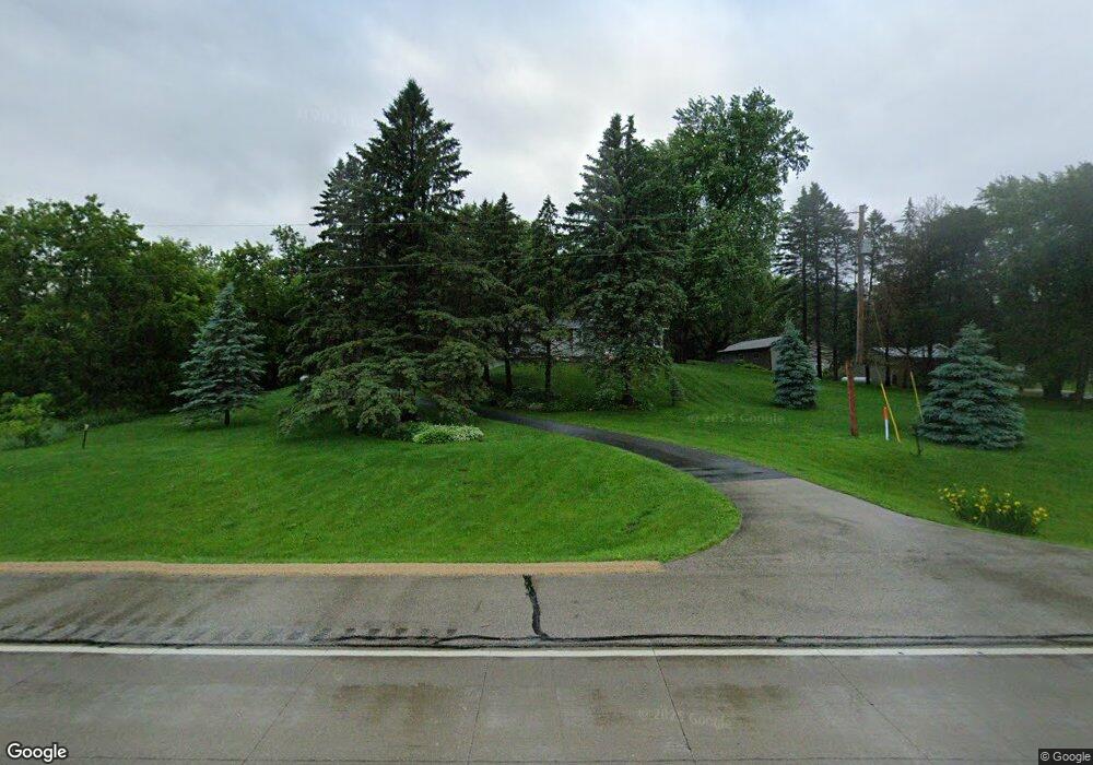
8921 Highway 63 N Rochester, MN 55906
Estimated Value: $255,000 - $362,541
2
Beds
2
Baths
1,304
Sq Ft
$246/Sq Ft
Est. Value
About This Home
This home is located at 8921 Highway 63 N, Rochester, MN 55906 and is currently estimated at $320,385, approximately $245 per square foot. 8921 Highway 63 N is a home located in Olmsted County with nearby schools including Gage Elementary School, Century Senior High School, and Greene Valley School.
Ownership History
Date
Name
Owned For
Owner Type
Purchase Details
Closed on
Jun 24, 2024
Sold by
Benson Nancy Gail and Decker Jeffrey Andrew
Bought by
Benson Nancy Gail and Decker Jeffrey Andrew
Current Estimated Value
Purchase Details
Closed on
Mar 28, 2017
Sold by
Benson Matthew James
Bought by
Benson Nancy Gall
Create a Home Valuation Report for This Property
The Home Valuation Report is an in-depth analysis detailing your home's value as well as a comparison with similar homes in the area
Home Values in the Area
Average Home Value in this Area
Purchase History
| Date | Buyer | Sale Price | Title Company |
|---|---|---|---|
| Benson Nancy Gail | $500 | None Listed On Document | |
| Benson Nancy Gall | -- | None Available |
Source: Public Records
Tax History Compared to Growth
Tax History
| Year | Tax Paid | Tax Assessment Tax Assessment Total Assessment is a certain percentage of the fair market value that is determined by local assessors to be the total taxable value of land and additions on the property. | Land | Improvement |
|---|---|---|---|---|
| 2024 | $2,820 | $304,500 | $50,000 | $254,500 |
| 2023 | $2,596 | $307,900 | $50,000 | $257,900 |
| 2022 | $2,038 | $241,500 | $50,000 | $191,500 |
| 2021 | $1,934 | $218,500 | $50,000 | $168,500 |
| 2020 | $1,872 | $209,800 | $50,000 | $159,800 |
| 2019 | $1,798 | $193,400 | $50,000 | $143,400 |
| 2018 | $1,805 | $189,100 | $50,000 | $139,100 |
| 2017 | $1,806 | $187,300 | $50,000 | $137,300 |
| 2016 | $1,652 | $162,500 | $44,300 | $118,200 |
| 2015 | $1,542 | $142,800 | $43,200 | $99,600 |
| 2014 | $1,558 | $142,800 | $43,200 | $99,600 |
| 2012 | -- | $146,100 | $43,430 | $102,670 |
Source: Public Records
Map
Nearby Homes
- TBD County Road 121 NE
- 10482 11th Ave NE
- TBD Salley Ridge (L4b1 Phase 2) Ln NE
- TBD Salley Ridge (L2b1 Phase 2) Ln NE
- xxxx (Parcel 3) White Bridge Rd NE
- xxxx (Parcel 2) White Bridge Rd NE
- xxx White Bridge Rd NE
- 499 73rd St NW
- 1057 Ridge Crest Ln NW
- 8426 11th Ave NW
- TBD Tennis Ln NW
- L3B1 Miller Place NW
- L5B1 Miller Place NW
- L2B2 Miller Place NW
- L6B1 Miller Place NW
- L8B1 Miller Place NW
- L3B2 Miller Place NW
- L2B1 Miller Place NW
- L1B1 Miller Place NW
- L4B1 Miller Place NW
- 8945 Us Highway 63
- 8945 8945 Highway 63 N
- 8945 Us Highway 63
- 8945 Highway 63 N
- 8945 Highway 63 N
- 9013 30th Ave NE
- 9048 30th Ave NE
- 8641 Highway 63 N
- 8623 Highway 63 N
- 8623 Highway 63 N
- 9231 Highway 63 N
- 9309 Highway 63 N
- 2708 County 121 Rd NE
- 8450 Highway 63 N
- 2632 County Road 121 NE
- 8427 Highway 63 N
- 2650 First Born Rd NE
- 3300 County Road 21 NE
- 2915 County 121 Rd NE
- 2420 First Born Rd NE