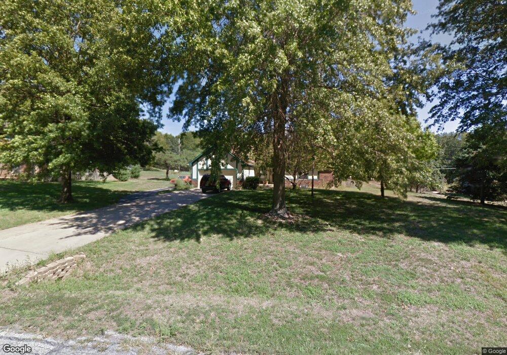
8927 Millstone Dr Lenexa, KS 66220
Estimated Value: $466,000 - $554,000
About This Home
This home is located at 8927 Millstone Dr, Lenexa, KS 66220 and is currently estimated at $507,213, approximately $319 per square foot. 8927 Millstone Dr is a home located in Johnson County with nearby schools including Manchester Park Elementary School, Prairie Trail Middle School, and Olathe Northwest High School.
Ownership History
We collect this data history from publicly available records. To have your information removed, we recommend requesting removal directly through your county’s website.
Purchase Details
Home Financials for this Owner
Home Financials are based on the most recent Mortgage that was taken out on this home.Home Values in the Area
Average Home Value in this Area
Purchase History
We collect this data history from publicly available records. To have your information removed, we recommend requesting removal directly through your county’s website.
| Date | Buyer | Sale Price | Title Company |
|---|---|---|---|
| -- | Security Land Title Company |
Mortgage History
We collect this data history from publicly available records. To have your information removed, we recommend requesting removal directly through your county’s website.
| Date | Status | Borrower | Loan Amount |
|---|---|---|---|
| Open | $160,800 | ||
| Closed | $30,150 |
Tax History
We collect this data history from publicly available records. To have your information removed, we recommend requesting removal directly through your county’s website.
| Year | Tax Paid | Tax Assessment Tax Assessment Total Assessment is a certain percentage of the fair market value that is determined by local assessors to be the total taxable value of land and additions on the property. | Land | Improvement |
|---|---|---|---|---|
| 2025 | $5,881 | $48,840 | $14,783 | $34,057 |
| 2023 | $5,294 | $42,263 | $10,263 | $32,000 |
| 2022 | $5,090 | $39,618 | $10,263 | $29,355 |
| 2021 | $5,118 | $37,835 | $9,318 | $28,517 |
| 2020 | $5,591 | $36,489 | $9,318 | $27,171 |
| 2019 | $5,637 | $35,524 | $7,742 | $27,782 |
| 2018 | $5,734 | $35,846 | $7,742 | $28,104 |
| 2017 | $5,556 | $33,810 | $7,033 | $26,777 |
| 2016 | $5,258 | $32,419 | $6,401 | $26,018 |
| 2015 | $4,923 | $29,992 | $6,401 | $23,591 |
| 2013 | -- | $26,231 | $4,694 | $21,537 |
Map
- 8906 Millstone Dr
- 19430 W 87th Ln
- 19220 W 87th Ln
- 19718 W 94th Terrace
- 8831 Vista Dr
- 0 W 95th St
- 20215 W 89th Terrace
- 17751 W 97th St
- 17749 W 97th St
- 20405 W 88th St
- 9363 Lind Rd
- 8709 Pine St
- 9162 Cottonwood Canyon Dr
- 19821 W 97th St
- 9517 Falcon Ridge Dr
- 22076 W 93rd Terrace
- 20413 Crickett Ln
- 9129 Redbud Ln
- 20805 W 91st Terrace
- 9605 Red Oak Dr
- 8925 Millstone Dr
- 8923 Millstone Dr
- 8926 Millstone Dr
- 8929 Millstone Dr
- 8922 Millstone Dr
- 8921 Millstone Dr
- 8930 Millstone Dr
- 8931 Millstone Dr
- 8920 Millstone Dr
- 8942 Hirning Rd
- 8943 Hirning Rd
- 8919 Millstone Dr
- 8933 Millstone Dr
- 8931 Millstone Cir
- 8923 Millstone Cir
- 8938 Hirning Rd
- 8937 Millstone Dr
- 8917 Millstone Dr
- 8928 Hirning Rd
- 8916 Millstone Dr
Ask me questions while you tour the home.