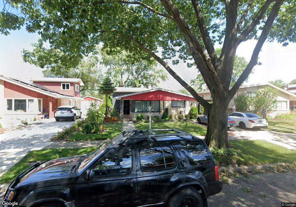
8929 Birch Ave Unit 2 Morton Grove, IL 60053
Estimated Value: $422,000 - $492,000
3
Beds
2
Baths
1,430
Sq Ft
$316/Sq Ft
Est. Value
About This Home
This home is located at 8929 Birch Ave Unit 2, Morton Grove, IL 60053 and is currently estimated at $452,345, approximately $316 per square foot. 8929 Birch Ave Unit 2 is a home located in Cook County with nearby schools including Hynes Elementary School, Golf Middle School, and Niles North High School.
Ownership History
Date
Name
Owned For
Owner Type
Purchase Details
Closed on
Jun 28, 1996
Sold by
Berger Alfred J and Berger Shirlee
Bought by
Altonaga George S and Altonaga Alma P
Current Estimated Value
Home Financials for this Owner
Home Financials are based on the most recent Mortgage that was taken out on this home.
Original Mortgage
$141,300
Interest Rate
8.27%
Create a Home Valuation Report for This Property
The Home Valuation Report is an in-depth analysis detailing your home's value as well as a comparison with similar homes in the area
Home Values in the Area
Average Home Value in this Area
Purchase History
| Date | Buyer | Sale Price | Title Company |
|---|---|---|---|
| Altonaga George S | $188,500 | Attorneys Natl Title Network |
Source: Public Records
Mortgage History
| Date | Status | Borrower | Loan Amount |
|---|---|---|---|
| Previous Owner | Altonaga George S | $141,300 |
Source: Public Records
Tax History
| Year | Tax Paid | Tax Assessment Tax Assessment Total Assessment is a certain percentage of the fair market value that is determined by local assessors to be the total taxable value of land and additions on the property. | Land | Improvement |
|---|---|---|---|---|
| 2025 | $8,713 | $43,000 | $8,951 | $34,049 |
| 2024 | $8,713 | $38,001 | $7,508 | $30,493 |
| 2023 | $8,275 | $38,001 | $7,508 | $30,493 |
| 2022 | $8,275 | $38,001 | $7,508 | $30,493 |
| 2021 | $6,479 | $27,873 | $4,620 | $23,253 |
| 2020 | $6,482 | $27,873 | $4,620 | $23,253 |
| 2019 | $6,569 | $31,318 | $4,620 | $26,698 |
| 2018 | $6,819 | $29,628 | $4,186 | $25,442 |
| 2017 | $6,876 | $29,628 | $4,186 | $25,442 |
| 2016 | $6,999 | $29,628 | $4,186 | $25,442 |
| 2015 | $6,641 | $24,559 | $3,609 | $20,950 |
| 2014 | $6,842 | $25,613 | $3,609 | $22,004 |
| 2013 | $6,707 | $25,613 | $3,609 | $22,004 |
Source: Public Records
Map
Nearby Homes
- 6628 Davis St
- 9133 Oak Park Ave
- 9131 Newcastle Ave
- 6901 Church St
- 8927 Belleforte Ave
- 6909 Beckwith Rd
- 6838 Beckwith Rd
- 8640 Waukegan Rd Unit 123
- 7002 W Carol Ave
- 6727 Beckwith Rd
- 8548 Grove St
- 6336 Hennings Ct
- 6338 Hennings Ct
- 6334 Hennings Ct
- 6332 Hennings Ct
- 6330 Hennings Ct
- 8723 Callie Ave
- 8650 N Shermer Rd Unit 306
- 7046 Beckwith Rd
- 6330 Lincoln Ave Unit 2A
- 8933 Birch Ave
- 8925 Birch Ave Unit 2
- 8930 Cherry Ave
- 8937 Birch Ave
- 8921 Birch Ave
- 8926 Cherry Ave Unit 2
- 8934 Cherry Ave
- 8922 Cherry Ave
- 8938 Cherry Ave
- 8917 Birch Ave
- 8930 Birch Ave
- 8934 Birch Ave
- 8926 Birch Ave
- 8918 Cherry Ave
- 8938 Birch Ave Unit 2
- 8942 Cherry Ave Unit 2
- 8922 Birch Ave
- 8947 Birch Ave Unit 2
- 8942 Birch Ave
- 8948 Cherry Ave
Your Personal Tour Guide
Ask me questions while you tour the home.