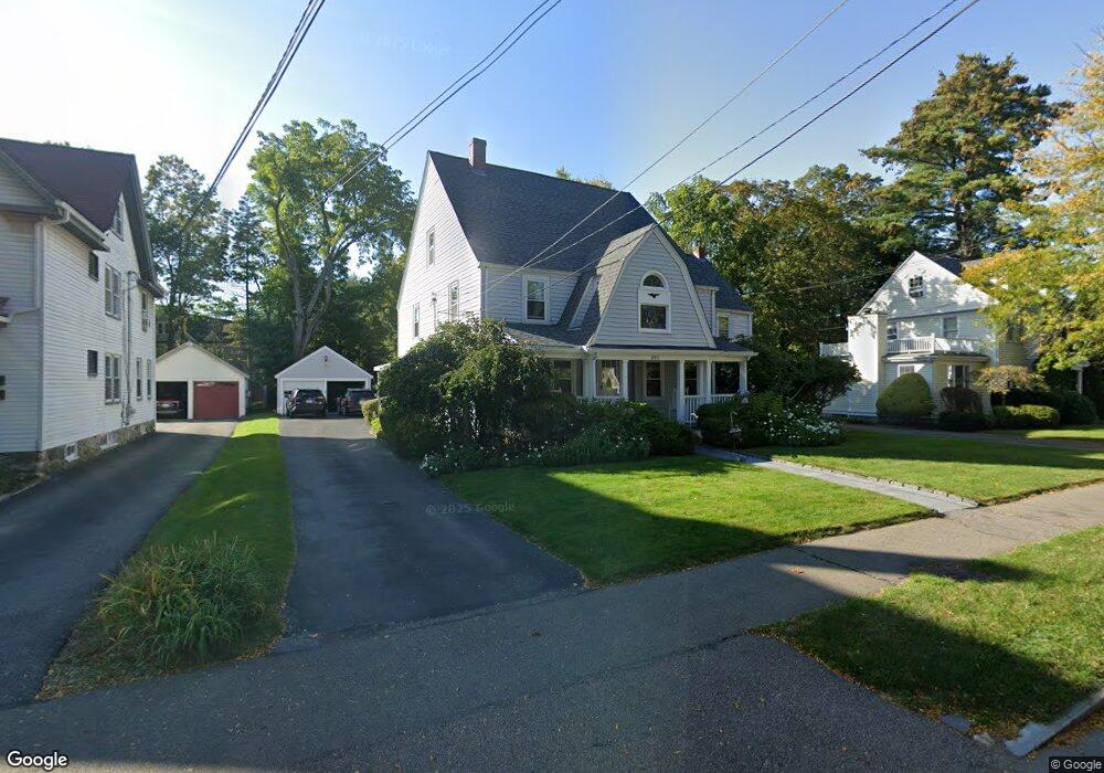
893 Webster St Needham, MA 02492
Estimated Value: $1,270,000 - $1,999,000
6
Beds
4
Baths
3,620
Sq Ft
$426/Sq Ft
Est. Value
About This Home
This home is located at 893 Webster St, Needham, MA 02492 and is currently estimated at $1,543,773, approximately $426 per square foot. 893 Webster St is a home located in Norfolk County with nearby schools including Newman Elementary School, High Rock Middle School, and Pollard Middle School.
Ownership History
Date
Name
Owned For
Owner Type
Purchase Details
Closed on
Oct 29, 1992
Sold by
Podolski Jay S
Bought by
Lambert Karen A and Lambert Paul T
Current Estimated Value
Purchase Details
Closed on
Dec 23, 1987
Sold by
Rashap Ira
Bought by
Podolski Jay
Purchase Details
Closed on
Mar 12, 1987
Sold by
Webster David A
Bought by
Rashap Ira
Create a Home Valuation Report for This Property
The Home Valuation Report is an in-depth analysis detailing your home's value as well as a comparison with similar homes in the area
Home Values in the Area
Average Home Value in this Area
Purchase History
| Date | Buyer | Sale Price | Title Company |
|---|---|---|---|
| Lambert Karen A | $293,500 | -- | |
| Lambert Karen A | $293,500 | -- | |
| Podolski Jay | $307,500 | -- | |
| Rashap Ira | $288,600 | -- |
Source: Public Records
Mortgage History
| Date | Status | Borrower | Loan Amount |
|---|---|---|---|
| Open | Rashap Ira | $192,000 | |
| Closed | Rashap Ira | $193,000 | |
| Closed | Rashap Ira | $29,700 |
Source: Public Records
Tax History Compared to Growth
Tax History
| Year | Tax Paid | Tax Assessment Tax Assessment Total Assessment is a certain percentage of the fair market value that is determined by local assessors to be the total taxable value of land and additions on the property. | Land | Improvement |
|---|---|---|---|---|
| 2025 | $13,704 | $1,292,800 | $800,200 | $492,600 |
| 2024 | $12,391 | $989,700 | $645,100 | $344,600 |
| 2023 | $12,580 | $964,700 | $645,100 | $319,600 |
| 2022 | $12,345 | $899,100 | $591,900 | $307,200 |
| 2021 | $11,715 | $899,100 | $591,900 | $307,200 |
| 2020 | $11,246 | $900,400 | $591,800 | $308,600 |
| 2019 | $10,387 | $838,300 | $538,000 | $300,300 |
| 2018 | $9,959 | $838,300 | $538,000 | $300,300 |
| 2017 | $9,522 | $800,800 | $538,000 | $262,800 |
| 2016 | $9,241 | $800,800 | $538,000 | $262,800 |
| 2015 | $9,041 | $800,800 | $538,000 | $262,800 |
| 2014 | $8,573 | $736,500 | $485,300 | $251,200 |
Source: Public Records
Map
Nearby Homes
- 154 Warren St
- 233 Warren St
- 71 School St
- 1011 Webster St
- 42 Otis St Unit R
- 40 Otis St Unit L
- 26 Pinewood Rd
- 193 Garden St
- 62 Washington Ave
- 8 Wilshire Park
- 47 Emerson Rd
- 556 Webster St
- 120 Wildwood Dr
- 287 High Rock St
- 30 Richardson Dr
- 247 Broad Meadow Rd
- 332 Hillcrest Rd
- 24 Deerfield Rd
- 53 Heather Ln
- 100 Rosemary Way Unit 129
- 893 Webster St Unit 1
- 897 Webster St
- 897 Webster St Unit 2
- 897 Webster St Unit 1
- 885 Webster St
- 903 Webster St
- 310 Harris Ave
- 180 Dedham Ave
- 290 Harris Ave
- 172 Dedham Ave
- 31 Gordon Rd
- 909 Webster St
- 210 Fair Oaks Park
- 204 Fair Oaks Park
- 32 Gordon Rd
- 198 Fair Oaks Park
- 284 Harris Ave
- 871 Webster St
- 181 Dedham Ave
- 23 Gordon Rd