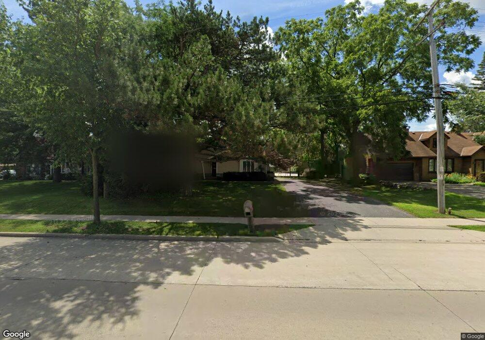
8931 W Layton Ave Milwaukee, WI 53228
Estimated Value: $372,949 - $436,000
3
Beds
2
Baths
1,690
Sq Ft
$240/Sq Ft
Est. Value
About This Home
This home is located at 8931 W Layton Ave, Milwaukee, WI 53228 and is currently estimated at $405,987, approximately $240 per square foot. 8931 W Layton Ave is a home located in Milwaukee County with nearby schools including Hales Corners Elementary School, Whitnall Middle School, and Whitnall High School.
Ownership History
Date
Name
Owned For
Owner Type
Purchase Details
Closed on
Mar 15, 2016
Sold by
Donovan Michael E and Donovan Sandra J
Bought by
Cudzewicz Lawrence and Cudzewicz Kristin
Current Estimated Value
Home Financials for this Owner
Home Financials are based on the most recent Mortgage that was taken out on this home.
Original Mortgage
$195,800
Outstanding Balance
$154,975
Interest Rate
3.65%
Mortgage Type
New Conventional
Estimated Equity
$251,012
Create a Home Valuation Report for This Property
The Home Valuation Report is an in-depth analysis detailing your home's value as well as a comparison with similar homes in the area
Home Values in the Area
Average Home Value in this Area
Purchase History
| Date | Buyer | Sale Price | Title Company |
|---|---|---|---|
| Cudzewicz Lawrence | $201,900 | Attorney |
Source: Public Records
Mortgage History
| Date | Status | Borrower | Loan Amount |
|---|---|---|---|
| Open | Cudzewicz Lawrence | $195,800 |
Source: Public Records
Tax History Compared to Growth
Tax History
| Year | Tax Paid | Tax Assessment Tax Assessment Total Assessment is a certain percentage of the fair market value that is determined by local assessors to be the total taxable value of land and additions on the property. | Land | Improvement |
|---|---|---|---|---|
| 2024 | $4,817 | $280,300 | $93,100 | $187,200 |
| 2023 | $4,817 | $280,300 | $93,100 | $187,200 |
| 2022 | $4,570 | $174,000 | $71,600 | $102,400 |
| 2021 | $4,644 | $174,000 | $71,600 | $102,400 |
| 2020 | $4,760 | $174,000 | $71,600 | $102,400 |
| 2019 | $4,826 | $174,000 | $71,600 | $102,400 |
| 2018 | $4,875 | $174,000 | $71,600 | $102,400 |
| 2017 | $4,435 | $174,000 | $71,600 | $102,400 |
| 2016 | $4,373 | $174,000 | $71,600 | $102,400 |
| 2015 | $4,321 | $174,000 | $71,600 | $102,400 |
| 2014 | $4,409 | $174,000 | $71,600 | $102,400 |
| 2013 | $4,433 | $174,000 | $71,600 | $102,400 |
Source: Public Records
Map
Nearby Homes
- 9000 W Cold Spring Rd
- 4962 S 82nd St
- 4256 S 96th St
- 5175 S Root River Pkwy Unit 6
- 7911 W Cold Spring Rd
- 7701 W Barnard Ave
- 9839 Brookside Dr
- 4848 S 76th St
- 4050 S Shady Lane Ct
- 5445 Wild Cherry Cir
- 3965 S 84th St Unit 5
- 4005 S 83rd St
- 3939 S 85th St
- 9015 W Grange Ave
- 4442 S Greenridge Cir Unit 4442F
- 4661 S 72nd St
- 10201 Brookside Dr
- 3762 S 94th St
- 5210 S Froemming Dr
- 3735 S 91st St
- 9065 W Layton Ave
- 8929 W Layton Ave
- 4674 S 90th St
- 9077 W Layton Ave
- 8917 W Layton Ave
- 4660 S 90th St
- 8901 W Layton Ave
- 4750 S 90th St
- 4675 S 89th St
- 9115 W Layton Ave
- 4755 S 90th St
- 4661 S 89th St
- 4648 S 90th St
- 8899 W Layton Ave
- 8899 W Layton Ave Unit 8899
- 4765 S 90th St
- 4649 S 89th St
- 4774 S 90th St
- 4636 S 90th St
- 4700 S 92nd St