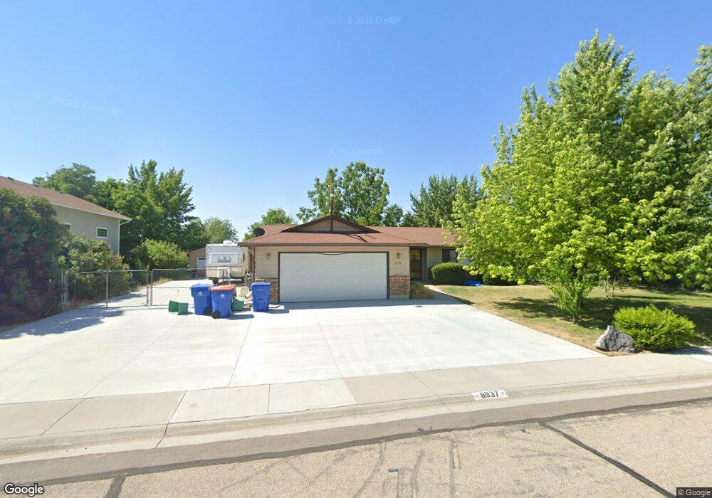
8937 Kiowa Dr Boise, ID 83709
Southwest Boise NeighborhoodEstimated Value: $408,000 - $439,537
3
Beds
2
Baths
1,242
Sq Ft
$347/Sq Ft
Est. Value
About This Home
This home is located at 8937 Kiowa Dr, Boise, ID 83709 and is currently estimated at $430,384, approximately $346 per square foot. 8937 Kiowa Dr is a home located in Ada County with nearby schools including Silver Sage Elementary School, Lake Hazel Middle School, and Mountain View High School.
Ownership History
Date
Name
Owned For
Owner Type
Purchase Details
Closed on
Mar 4, 2024
Sold by
Lindenberg Tony
Bought by
Lyons Edward and Lyons Trisha
Current Estimated Value
Home Financials for this Owner
Home Financials are based on the most recent Mortgage that was taken out on this home.
Original Mortgage
$254,000
Outstanding Balance
$249,775
Interest Rate
6.63%
Mortgage Type
New Conventional
Estimated Equity
$180,609
Purchase Details
Closed on
Sep 17, 2013
Sold by
Baarstad Gary D and Baarstad Jo Carol
Bought by
Baarstad Gary D and Baarstad Jo Carol
Create a Home Valuation Report for This Property
The Home Valuation Report is an in-depth analysis detailing your home's value as well as a comparison with similar homes in the area
Home Values in the Area
Average Home Value in this Area
Purchase History
| Date | Buyer | Sale Price | Title Company |
|---|---|---|---|
| Lyons Edward | -- | Titleone | |
| Baarstad Gary D | -- | None Available |
Source: Public Records
Mortgage History
| Date | Status | Borrower | Loan Amount |
|---|---|---|---|
| Open | Lyons Edward | $254,000 |
Source: Public Records
Tax History Compared to Growth
Tax History
| Year | Tax Paid | Tax Assessment Tax Assessment Total Assessment is a certain percentage of the fair market value that is determined by local assessors to be the total taxable value of land and additions on the property. | Land | Improvement |
|---|---|---|---|---|
| 2025 | $1,190 | $405,900 | -- | -- |
| 2024 | $1,056 | $396,900 | -- | -- |
| 2023 | $1,056 | $365,200 | $0 | $0 |
| 2022 | $1,384 | $443,900 | $0 | $0 |
| 2021 | $1,389 | $364,200 | $0 | $0 |
| 2020 | $1,162 | $254,500 | $0 | $0 |
| 2019 | $1,342 | $245,800 | $0 | $0 |
| 2018 | $1,034 | $205,900 | $0 | $0 |
| 2017 | $950 | $182,700 | $0 | $0 |
| 2016 | $946 | $173,200 | $0 | $0 |
| 2015 | $407 | $161,500 | $0 | $0 |
| 2012 | -- | $114,700 | $0 | $0 |
Source: Public Records
Map
Nearby Homes
- 9339 W Sageberry Dr
- 9303 W Stirrup Dr
- 2959 S Saturn Way
- 9212 W Brogan Dr
- 6022 S Snowshoe Ave
- 4667 S Shawnee Way
- 9516 W Portola Dr
- 8335 W Grubstake St
- 9173 W Brogan Dr
- 4735 S Rawhide Ave
- 9538 W Silverbirch St
- 7967 W Tillamook Dr
- 9266 W Lillywood Dr
- 7887 W Orbit Dr
- 10292 W Brownstone Dr
- 6986 S Dewberry Ave
- 5708 S Kimmer Cove Way
- 9962 W Rustica St
- 10062 W Rustica St
- 9529 W Mossywood Dr
- 8937 W Kiowa Dr
- 8969 Kiowa Dr
- 8901 Kiowa Dr
- 5535 Oseola Place
- 5646 S Maple Grove Rd
- 5532 Oseola Place
- 8897 Kiowa Dr
- 8898 Kiowa Dr
- 5501 Oseola Place
- 8875 Kiowa Dr
- 5564 Aleut Place
- 8850 Kiowa Dr
- 5464 Oseola Place
- 8853 Kiowa Dr
- 5522 Aleut Place
- 5461 S Oseola Place
- 5499 Toppenish Place
- 5461 Oseola Place
- 5589 Aleut Place
- 5506 Aleut Place